page search

IssuesenvironmentLandLibrary Resource
There are 6, 260 content items of different types and languages related to environment on the Land Portal.
Displaying 2713 - 2724 of 4151

Sugar beet and its use in agroenvironmental measures

Policy Papers & Briefs
September, 2012
Czech Republic

The aim of this study was to evaluate the effect of biostrips on the bio­diversity of plants and game animals in fields near Sardice (Czech Republic) and to propose some improvements. The experiment was carried out in an organic farm with cereals as the main crops. The biodiversity was assessed by the line method (game birds and mammals) and according to Dostal (flora) and Braun-Blanqueta (plant coverage). As shown by our results biostrips have an important function in agroecosystems. We suggest to include seeds of sugar beet to the seed mixtures used in biostrips.

Proposals for classification and determination of degraded land

Conference Papers & Reports
December, 2017
Latvia

Degraded territory is land which has been damaged by either industrial and other activities or no activities at all to the stage where any economic activity is impossible unless special renewable measures are implemented. One of the aims of sustainable environment resolutions adopted by the United Nations General Assembly on 25 September, 2015 was ‘to restore degraded land and to aim to achieve having a world neutral to land degradation’. This is the first worldwide document where universal and comprehensive actions regarding land degradation are provided.

From natural forests to agroforests in the Guinea forest region

Journal Articles & Books
December, 2009
Guinea
Africa

A combined agronomic and geographic approach has helped to explain forest agrosystem spatio-temporal dynamics in the forest regions of Guinea. The important expansion of cropping systems associating various perennial crops (coffee, kola, cocoa, fruit trees) and native spontaneous forest species – called “agroforests”- has been observed in 3 villages of the Kobela area. This spatial dynamic can be considered as the renewing of an ecosystem dominated in the past by forest.

Protection of land in the Republic of Serbia and ecological security with regard to strategic and legal frameworks

Journal Articles & Books
December, 2017
Serbia

It is widely known that ecological and socioeconomic functions of the land are the basis for social and economic well-being. Despite this fact, land is still a relatively neglected natural resource, which can be concluded by analyzing the pressures on the land and the lack of systematic monitoring, which involves considering the situation and defining the program for its protection.

De la forêt naturelle aux agroforêts en Guinée forestière

Journal Articles & Books
December, 2009
Guinea
Africa

A combined agronomic and geographic approach has helped to explain forest agrosystem spatio-temporal dynamics in the forest regions of Guinea. The important expansion of cropping systems associating various perennial crops (coffee, kola, cocoa, fruit trees) and native spontaneous forest species – called “agroforests”- has been observed in 3 villages of the Kobela area. This spatial dynamic can be considered as the renewing of an ecosystem dominated in the past by forest.

[Application of data from state information systems to identify degraded areas]

Conference Papers & Reports
December, 2017
Latvia

One of the goals of a sustainable environment adopted in the United Nations General Assembly resolution (September 25, 2015) was «to restore degraded lands and strive to achieve a world neutral to land degradation». The problem was identified at the international and European level, but it is also a very pressing problem in Latvia. With regard to the risks of land degradation and their prevention in Latvia, the Law «On Land Management» came into force on January 1, 2015.

Les conflits d'usage dans les espaces périurbains et ruraux français. Une approche par l'analyse économique de la décision publique

Journal Articles & Books
December, 2006

Land-use conflicts reveal the contemporary evolution of rural areas, and specifically the rise of the rural living environment and its confrontation with the other functions of the countryside (productive, recreational and natural protection). Local public authorities implement regulations to organize common environmental resources use without conflicts. But local public choice can not satisfy everyone, leading to a lack of unanimity. Local public intervention inevitably creates a losing side and it is difficult for them to escape the environmental damage by leaving.

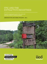
FPIC and the Extractive Industries - A guide to applying the spirit of free, prior and informed consent in industrial projects

Manuals & Guidelines
December, 2012
Global

This guide offers a three-point framework for companies seeking to integrate FPIC principles into their policies and apply them in the operations. This includes


• complying with the requirements for FPIC under international and national law,


• implementing FPIC principles throughout the project life-cycle, and


• extending FPIC processes to all project-affected communities in line with good practice guidance. It also seeks to


• articulate the relevance of FPIC to company policy and practice, and

Equator Principles

Manuals & Guidelines
May, 2013
Global

The Equator Principles (EPs) is a risk management framework, adopted by financial institutions, for determining, assessing and managing environmental and social risk in projects and is primarily intended to provide a minimum standard for due diligence and monitoring to support responsible risk decision-making.

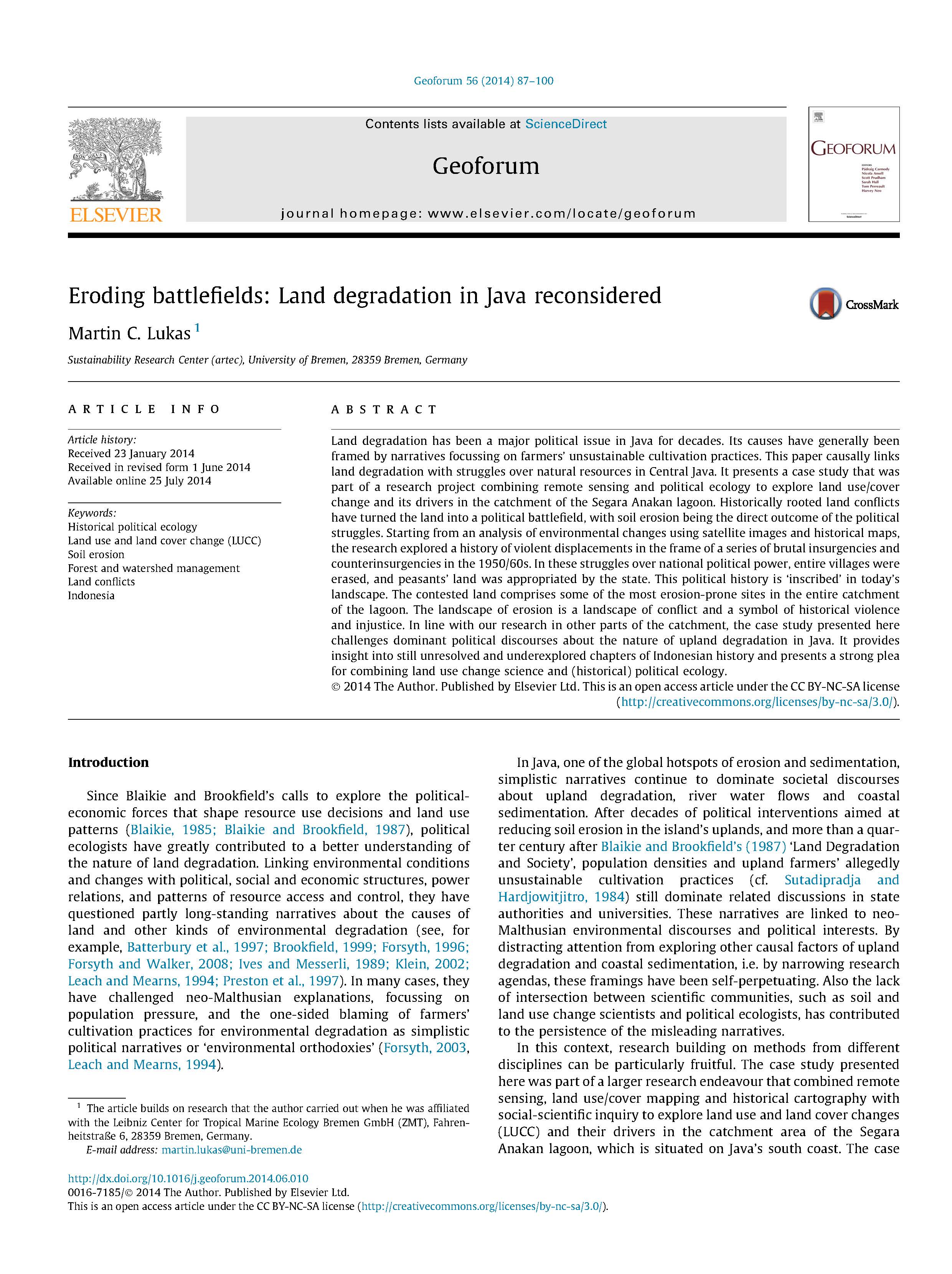
Eroding battlefields: Land degradation in Java reconsidered

Peer-reviewed publication
August, 2014
Indonesia

Land degradation has been a major political issue in Java for decades. Its causes have generally been framed by narratives focussing on farmers’ unsustainable cultivation practices. This paper causally links land degradation with struggles over natural resources in Central Java. It presents a case study that was part of a research project combining remote sensing and political ecology to explore land use/cover change and its drivers in the catchment of the Segara Anakan lagoon.