page search

Issuesland useLandLibrary Resource
There are 9, 821 content items of different types and languages related to land use on the Land Portal.
Displaying 2077 - 2088 of 8564

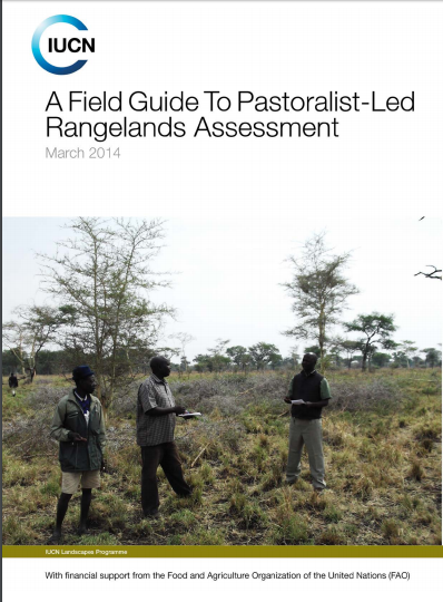
A Field Guide to Pastoralist-led Rangelands Assessment

Manuals & Guidelines
February, 2014
Global

Community-Led Rangelands Assessment promotes the use of traditional or indigenous knowledge of pastoralists, as the dominant group utilizing rangelands, to guide planning and management of rangelands resources to support and build resilient pastoral livelihoods. Use of traditional knowledge is considered cheaper, easier to use and replicable. It promotes the respect of local communities’ culture and its integration into scientific methods.

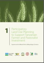
Participatory Land Use Planning to Support Tanzanian Farmer and Pastoralist Investment

Policy Papers & Briefs
June, 2014
Tanzania

The food security of more than 80% of Tanzania’s population and the country’s economic growth depend on family farming on certifi ed village lands. Realizing importance of smallholder’s roles in food security and economic development, the government introduced Village Land Use Planning (VLUP) as a tool towards sustainable family farming in support of green growth – a strategy for sustainably improving productivity within degrading natural resources.

Guidelines land evaluation for extensive grazing

Manuals & Guidelines
January, 2010
Global

Extensive grazing is the predominant form of land use on at least a quarter of the world’s land surface, in which livestock are raised on food that comes mainly from rangelands. The term livestock includes both domesticated animals such as cattle, sheep, goats, camels, horses, llamas and alpacas, and a broad range of wild animals kept for meat or game viewing. It is estimated that tropical grasslands alone cover 18 million square kilometres, where the natural vegetation is used by mobile animals requiring forage and water throughout the year.

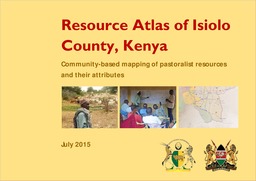
Resource Atlas of Isiolo County, Kenya: Community-based mapping of pastoralist resources and their attributes

Reports & Research
June, 2015
Kenya

Participatory digital mapping using satellite imagery and digital earth and other open source Geographic Information Systems (GIS) is a practical tool bridging the knowledge and communication gap between pastoral communities and county government planners. It is offering an effective option for participatory planning and decision-making in support of climate change adaptation in the drylands of Kenya.


LAPSSET The history and politics of an eastern African megaproject

Conference Papers & Reports
March, 2014
Africa

‘This study is in-depth, up-to-date and the first of its kind on a massive infrastructure development project in the region, examining its history, politics, evolution, the emergence of actors and interests and effects on the poor and marginalized. It presents the ambitions and ambiguities of a megaproject never seen in the development history of the region. The report is a comprehensive analysis of the hopes and fears emanating from a megaproject in the region and provides invaluable data on which future studies will certainly have to rely.’

Mapping of pastoral corridors: practices and politics in eastern Senegal

Journal Articles & Books
September, 2014
Senegal

The delineation and protection of transhumance corridors are increasingly seen as critical to maintaining livestock mobility in agropastoral areas of West Africa by allowing passage through areas of increasing cropping pressure. Understanding the local politics surrounding the mapping and protection of transhumance corridors is important for policy formulation. This study reports the findings of group meetings in nine local districts (communautés rurales) in eastern Senegal about recently mapped corridors.

Enclosing the commons: reasons for the adoption and adaptation of enclosures in the arid and semi-arid rangelands of Chepareria, Kenya

Journal Articles & Books
September, 2015
Kenya

The adoption and adaptation of enclosures in the arid and semi-arid rangelands of sub-Saharan Africa is driven and sustained by a combination of factors. However, reviews indicate that these factors cannot be generalized, as they tend to be case specific. A study was therefore conducted to explore the history and reasons for enclosure establishment in Chepareria, a formerly degraded communal rangeland in north-western Kenya.

WHERE LAND MEETS THE SEA

Reports & Research
November, 2016
Global

This report provides a synoptic analysis of the legal and governance frameworks that relate to the use and management of mangrove forests globally. It highlights the range of challenges typically encountered in the governance and tenure dimensions of mangrove forest management. This assessment forms part of a broader study that includes national-level assessments in Indonesia and Tanzania. It was carried out under the USAID-funded Tenure and Global Climate Change Program.