page search

IssuesurbanizationLandLibrary Resource
Displaying 1429 - 1440 of 1504

Learn how to measure SDG Indicator 11.1.1 – Adequate Housing and Slum Upgrading

Websites
November, 2021
Global

This course includes self-paced e-learning training modules which present descriptive and practical step-by-step guidance on how to compute SDG 11+ indicators. It is aimed at strengthening national and city capacities in collecting, analyzing, and monitoring the urban SDG indicators.

This training course is intended for all the professionals involved in monitoring and reporting on SDG 11 indicators and anyone who wishes to get guidance in the monitoring process.

Interweaving urban land tenure, spatial expansion and political institutions

Peer-reviewed publication
November, 2021
Niger

This monographic overview article presents an urban history of Niger’s capital Niamey with the lens on three aspects: the urban and spatial development, the evolution of urban land rights, and the dynamics of socio-political institutions. It is based on the sparse scientific and grey literature, available mostly in French, and aims to provide a concise overview in English on the becoming of this rather unknown Sahelian capital.

Landscapes of West Africa

Reports & Research
November, 2016
Western Africa

Landscapes of West Africa, A Window on a Changing World presents a vivid picture of the changing natural environment of West Africa. Using images collected by satellites orbiting hundreds of miles above the Earth, a story of four decades of accelerating environmental change is told. Widely varied landscapes — some changing and some unchanged — are revealing the interdependence and interactions between the people of West Africa and the land that sustains them.

New frontiers of land control: Introduction

September, 2011

Land questions have invigorated agrarian studies and economic history, with particular emphases on its control, since Marx. Words such as ‘exclusion’, ‘alienation’, ‘expropriation’, ‘dispossession’, and ‘violence’ describe processes that animate land histories and those of resources, property rights, and territories created, extracted, produced, or protected on land. Primitive and on-going forms of accumulation, frontiers, enclosures, territories, grabs, and racializations have all been associated with mechanisms for land control.

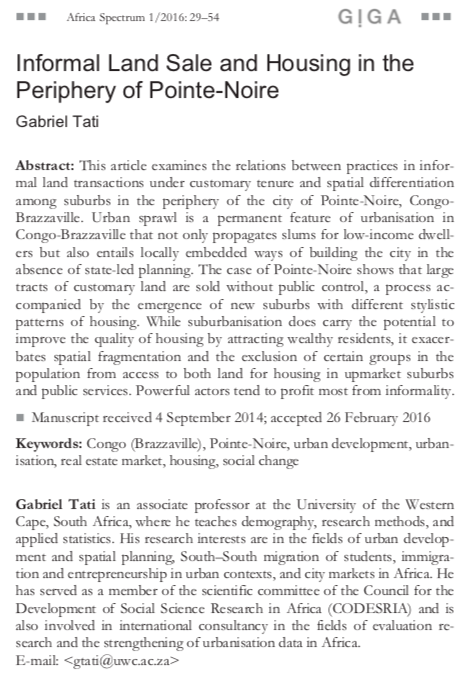
Informal Land Sale and Housing in the Periphery of Pointe-Noire

Peer-reviewed publication
January, 2016
Congo

This article examines the relations between practices in informal land transactions under customary tenure and spatial differentiation among suburbs in the periphery of the city of Pointe-Noire, Congo- Brazzaville. Urban sprawl is a permanent feature of urbanisation in Congo-Brazzaville that not only propagates slums for low-income dwellers but also entails locally embedded ways of building the city in the absence of state-led planning.

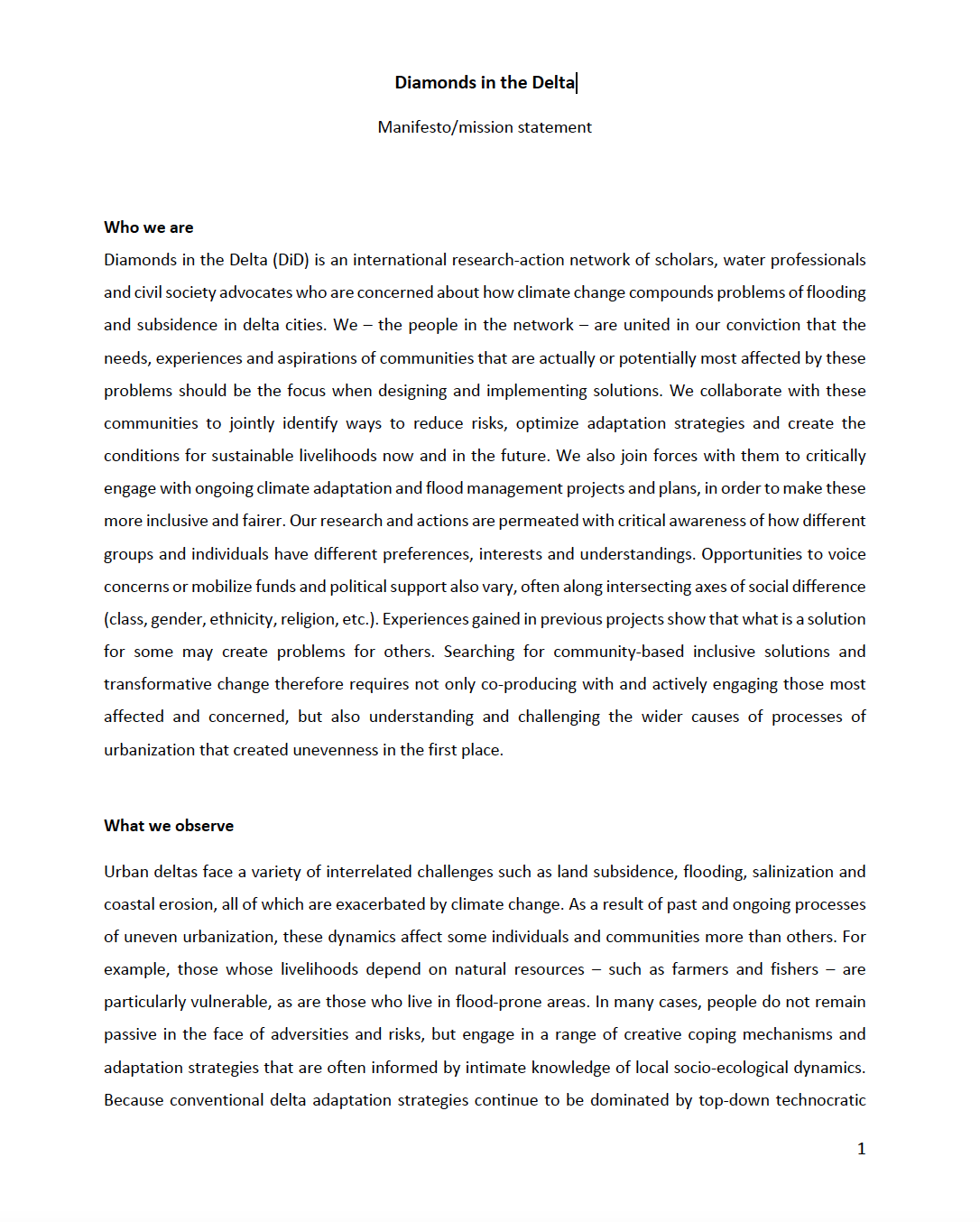
Diamonds in the Delta

Institutional & promotional materials
November, 2021
Mozambique
Colombia
Indonesia
Philippines
Vietnam
Bangladesh
Netherlands

Diamonds in the Delta (DiD) is an international research-action network of scholars, water professionals and civil society advocates who are concerned about how climate change compounds problems of flooding and subsidence in delta cities. We – the people in the network – are united in our conviction that the needs, experiences and aspirations of communities that are actually or potentially most affected by these problems should be the focus when designing and implementing solutions.

Quantitative analysis of the impacts of climate and land-cover changes on urban flood runoffs: a case of Dar es Salaam, Tanzania

Journal Articles & Books
November, 2021
Tanzania

Over the past half-century, the risk of urban flooding in Dar es Salaam has increased due to changes in land cover coupled with climatic changes. This paper aimed to quantify the impacts of climate and land-cover changes on the magnitudes and frequencies of flood runoffs in urban Dar es Salaam, Tanzania. A calibrated and validated SWAT rainfall-runoff model was used to generate flood hydrographs for the period 1969–2050 using historical rainfall data and projected rainfall based on the CORDEX-Africa regional climate model.

Planning For Inclusive Greater Banjul

Reports & Research
November, 2020
Gambia

The Gambia has one of the fastest urbanization rates in sub-Saharan Africa, with more than two-thirds of the country’s population currently living in the Greater Banjul Area (GBA).

To address the environmental and socioeconomic challenges that arise from this situation, UNOPS is supporting The Gambia’s government to develop a strategic urban plan, through the Greater Banjul 2040 project. The initiative, will drive urban development and improve services while promoting climate resilience, economic growth and social inclusion.

image Gambia: Banjul Urban Profile

Journal Articles & Books
Reports & Research
November, 2011
Gambia

The Banjul Urban Profiling consists of an accelerated, action-oriented assessment of urban conditions, focusing on priority needs, capacity gaps, and existing institutional responses at local and national levels. The purpose of the study is to develop urban poverty reduction policies at local, national, and regional levels, through an assessment of needs and response mechanisms, and as a contribution to the wider-ranging implementation of the Millennium Development Goals.