page search

Issuesland-use planningLandLibrary Resource
There are 6, 654 content items of different types and languages related to land-use planning on the Land Portal.
Displaying 4969 - 4980 of 6246

In the Face of Threats and Invasions in the Forests, Communities Defend and Reclaim Their Life Spaces

Policy Papers & Briefs
December, 2020
Mozambique
Cameroon
Democratic Republic of the Congo
Gabon
Liberia
Nigeria
Brazil
Ecuador
Venezuela
Indonesia
Malaysia
Thailand

The articles in this Bulletin are written by the following organizations and individuals: National Coordinator for the Defense of the Mangrove Ecosystem (C-CONDEM), Ecuador; Yayasan Pusaka Bentala Rakya (Bentala Raya Heritage Foundation), Indonesia; Venezuelan Observatory of Political Ecology and members of the WRM international secretariat in close collaboration with several allies who are part of grassroots groups in different countries.

Land Administration Review: Armenia

Reports & Research
September, 2001
Armenia

At its sixty-first session in September 2000, the ECE Committee on Human Settlements accepted the proposal of the Bureau of the Working Party on Land Administration to provide expert assistance to Armenia on land administration issues (ECE/HBP/119, annex I, programme element “Land registration and land markets”). Security of tenure is one of the most important factors in fighting poverty and stabilizing communities by improving housing conditions through housing investments, reducing social exclusion, improving access to urban services, environment and safety in urban areas.

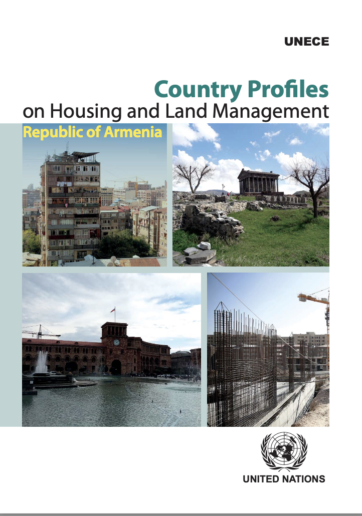
Country Profiles on Housing and Land Management: Republic of Armenia

Reports & Research
November, 2017
Armenia

This Country Profile (CP) of the Republic of Armenia is the nineteenth in the series and the second review done for the country. The first was prepared in 2004 and the analyses covered only the housing sector. This CP is an in-depth analyses of the housing, urban development and land management sectors of the Republic of Armenia. It provides policy recommendations on these sectors, while focusing on specific challenges and achievements.

Assessment of Land-Use/Land-Cover Change and Forest Fragmentation in the Garhwal Himalayan Region of India

Peer-reviewed publication
December, 2016
India

The Garhwal Himalaya has experienced extensive deforestation and forest fragmentation, but data and documentation detailing this transformation of the Himalaya are limited. The aim of this study is to analyse the observed changes in land cover and forest fragmentation that occurred between 1976 and 2014 in the Garhwal Himalayan region in India. Three images from Landsat 2 Multispectral Scanner System (MSS), Landsat 5 Thematic Mapper (TM), and Landsat 8 Operational Land Imager (OLI) were used to extract the land cover maps.

Land Use Planning and Wildlife-Inflicted Crop Damage in Zambia

Peer-reviewed publication
December, 2017
Zambia

Damage to crops from wildlife interference is a common threat to food security among rural communities in or near Game Management Areas (GMAs) in Zambia. This study uses a two-stage model and cross-sectional data from a survey of 2769 households to determine the impact of land use planning on the probability and extent of wildlife-inflicted crop damage. The results show that crop damage is higher in GMAs as compared to non-GMAs, and that land use planning could be an effective tool to significantly reduce the likelihood of such damage.

Applying Biodiversity Metrics as Surrogates to a Habitat Conservation Plan

Peer-reviewed publication
December, 2020
Global

Unabated urbanization has led to environmental degradation and subsequent biodiversity loss across the globe. As an outcome of unmitigated land use, multi-jurisdictional agencies have developed land use plans that attempt to protect threatened or endangered species across selected areas by which some trade-offs between harm to species and additional conservation approaches are allowed among the partnering organizations.

Empirical Modeling of Stream Nutrients for Countries without Robust Water Quality Monitoring Systems

Peer-reviewed publication
December, 2020
Global

Water quality models are useful tools to understand and mitigate eutrophication processes. However, gaining access to high-resolution data and fitting models to local conditions can interfere with their implementation. This paper analyzes whether it is possible to create a spatial model of nutrient water level at a local scale that is applicable in different geophysical and land-use conditions. The total nitrogen and phosphorus concentrations were modeled by integrating Geographical Information Systems, Remote Sensing, and Generalized Additive and Land-Use Changes Modeling.

The Benefits of Fit-for-Purpose Land Administration for Urban Community Resilience in a Time of Climate Change and COVID-19 Pandemic

Peer-reviewed publication
December, 2020
Global

The major global pressures of rapid urbanization and urban growth are being compounded by climate impacts, resulting in increased vulnerability for urban dwellers, with these vulnerabilities exacerbated during the COVID-19 pandemic. Much of this is concentrated in urban and peri-urban areas where urban development spreads into hazard-prone areas. Often, this development is dominated by poor-quality homes in informal settlements or slums with poor tenure security.

Identification of Potential Land-Use Conflicts between Agricultural and Ecological Space in an Ecologically Fragile Area of Southeastern China

Peer-reviewed publication
December, 2020
China

In the context of ensuring national food security, high-intensity agricultural production and construction activities have aggravated the conflicts between agricultural and ecological spaces in ecologically fragile areas, which have become one of the most important factors hindering regional sustainable development. This study took Lin’an District, a typical hilly region of southeastern China, as an example.

Assessing Matching Characteristics and Spatial Differences between Supply and Demand of Ecosystem Services: A Case Study in Hangzhou, China

Peer-reviewed publication
December, 2020
China

Ecosystem services (ESs) is a term used to describe the foundations of the well-being of human society, and several relevant studies have been carried out in this area. However, given the fact that the complex trade-offs/synergy relationships of ESs are a challenging area, studies on matching mechanisms for ES supply and demand are still rare.

An Integrated Economic, Environmental and Social Approach to Agricultural Land-Use Planning

Peer-reviewed publication
December, 2020
Australia

Agricultural land-use change is a dynamic process that varies as a function of social, economic and environmental factors spanning from the local to the global scale. The cumulative regional impacts of these factors on land use adoption decisions by farmers are neither well accounted for nor reflected in agricultural land use planning. We present an innovative spatially explicit agent-based modelling approach (Crop GIS-ABM) that accounts for factors involved in farmer decision making on new irrigation adoption to enable land-use predictions and exploration.

Soil Quality Assessment Using Multivariate Approaches: A Case Study of the Dakhla Oasis Arid Lands

Peer-reviewed publication
December, 2020
Global

A precise evaluation of soil quality (SQ) is important for sustainable land use planning. This study was conducted to assess soil quality using multivariate approaches. An assessment of SQ was carried out in an area of Dakhla Oasis using two methods of indicator selection, i.e., total data set (TDS) and minimum data set (MDS), and three soil quality indices (SQIs), i.e., additive quality index (AQI), weighted quality index (WQI), and Nemoro quality index (NQI). Fifty-five soil profiles were dug and samples were collected and analyzed.