page search

Issuescadastral registerLandLibrary Resource
There are 240 content items of different types and languages related to cadastral register on the Land Portal.
Displaying 1 - 12 of 63

Land Management and Land Administration Projects in Southeastern Europe

Institutional & promotional materials
Reports & Research
April, 2015
Bosnia and Herzegovina
Georgia
Montenegro
Serbia

After the collapse of the former Soviet Union and the end of the latest Balkan wars, countries in Southeastern Europe had to reorganize their land management and land administration systems. Whereas in the Caucasus region privatization and first property registration were the main challenges, in the former Republic of Yugoslavia, essential objectives were the return of collectivized, confiscated property through restitution or (re)distribution, as well as the updating and harmonization of traditional land registry and cadaster systems and their conversion to modern systems.

Systematic Land Registration in Rural Areas of Lao PDR Concept Document for countrywide application

Reports & Research
September, 2015
Laos

In principle, all land in the Lao People's Democratic Republic (Lao PDR) belongs to the National Community, although citizens and legal entities have the right to receive permanent land use rights. These land use rights are certified in the form of land titles, which currently can be issued to individuals (persons, couples, joint ownership or legal entities), collectives and state land.

Report: Debate on Open Data and Land Governance

Reports & Research
December, 2016
Global

Across most contexts, government data sources on land are largely inaccessible, from land administration data, such as parcel data and ownership information to land investments, contract data and even policy information. In considering data on property ownership specifically, the latest version of the Open Data Barometer shows only two countries, New Zealand and the United Kingdom, obtained a full 100% score on the topic of Land Ownership. When this land administration data is made available, it is commonly made public via a web portal rather than as open data.

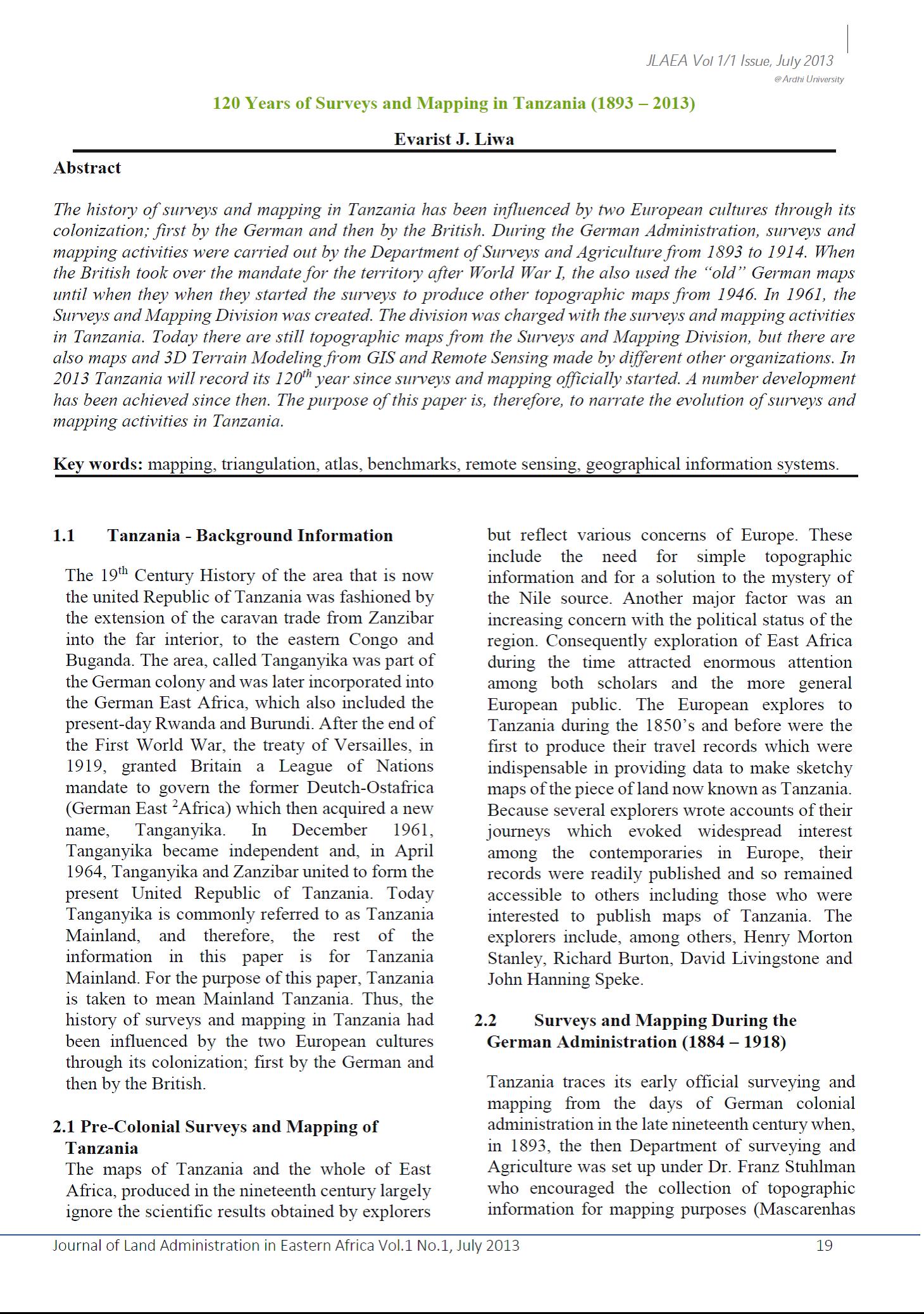
120 Years of Surveys and Mapping in Tanzania (1893 – 2013)

Journal Articles & Books
June, 2013
Tanzania

The history of surveys and mapping in Tanzania has been influenced by two European cultures through its colonization; first by the German and then by the British. During the German Administration, surveys and mapping activities were carried out by the Department of Surveys and Agriculture from 1893 to 1914. When the British took over the mandate for the territory after World War I, the also used the “old” German maps until when they when they started the surveys to produce other topographic maps from 1946. In 1961, the Surveys and Mapping Division was created.

Cadastral Template 2.0 - Cambodia Country Profile

Multimedia
September, 2015
Cambodia

The history of modern land management and administration in Cambodia begins with French initiatives in the late 19th century. The first Civil Code was adopted in 1920 and it established a system of French land law that recognized private property rights. Some traditional Cambodian rights, in particular that of creating a land right simply by occupation and possession, were included in the Civil Code. During the 1960s there was an adequate system of land management, including confirmation of private property rights with land records including cadastral maps and land titles.

Capacity Assessment of Land Administration and Management in Bangladesh: Critical Reflections on Institutional Processes, Capabilities and Gaps

Reports & Research
February, 2016
Bangladesh

Capacity of local land administration has to be addressed for further strengthening the governance system with a view to deriving the benefits of socio-economic, political and cultural development for the common people of this country. It is true that in Bangladesh, voice in favour of effective land administration and management is becoming louder at the national level. Representatives of LGIs, development workers, civil society members and international development partners, time and again, are raising and firmly advocating this long-drawn issue at policy level.

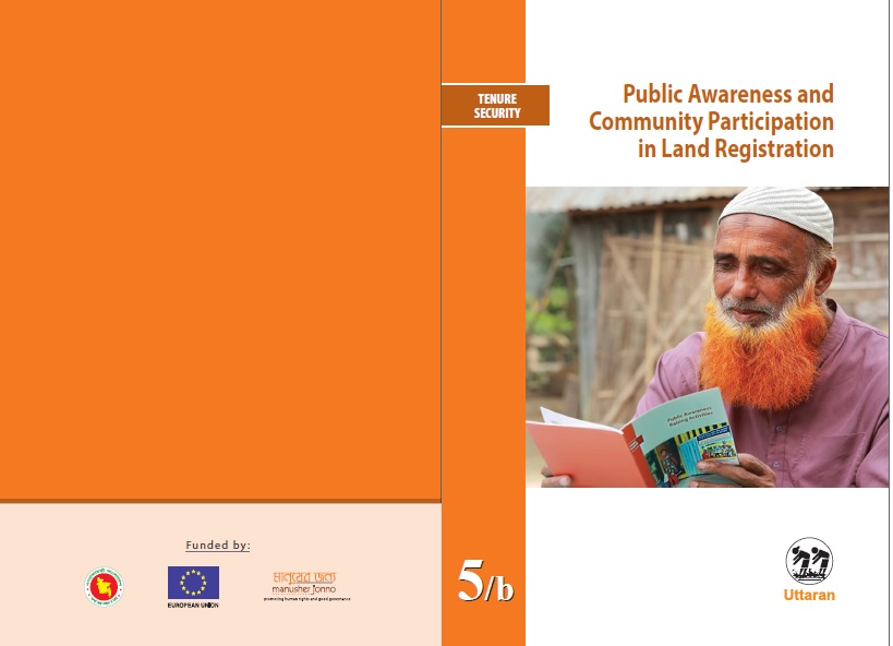
Public Awareness and Community Participation in Land Registration in Bangladesh

Manuals & Guidelines
August, 2016
Bangladesh

Utaran began work on the Sustainable Access to Land Equality (SALE) project to ensure transparency and accountability in land governance in December 2012, in partnership with CARE Internaional UK and Manusher Jonno Foundaion (MJF). The project engaged communiies in three pilot upazilas - Amtali Upazila of Barguna District, Mohanpur

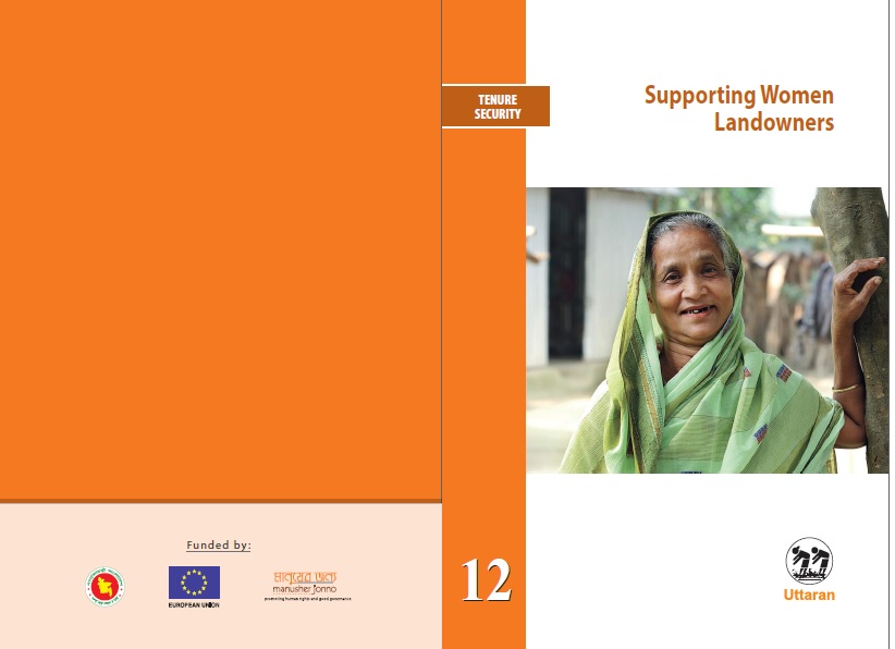
Supporting Women Landowners

Manuals & Guidelines
May, 2017
Bangladesh

Utaran began work on the Sustainable Access to Land Equality (SALE) project to ensure transparency and accountability in land governance in December 2012, in partnership with CARE Internaional UK and Manusher Jonno Foundaion (MJF). The project engaged communiies in three pilot upazilas - Amtali Upazila of Barguna District, Mohanpur

Marginalized people's accesss to Land in Bangladesh

Training Resources & Tools
May, 2016
Bangladesh

Utaran began work on the Sustainable Access to Land Equality (SALE) project to ensure transparency and accountability in land governance in December 2012. The project engaged communiies in three pilot upazilas - Amtali Upazila of Barguna District, Mohanpur of Rajshahi, and Sadar of Jamalpur - to raise the awareness of vulnerable landowners about land administraion, and to effect transparent processes for a) selecing landless people and b) khasland setlement.

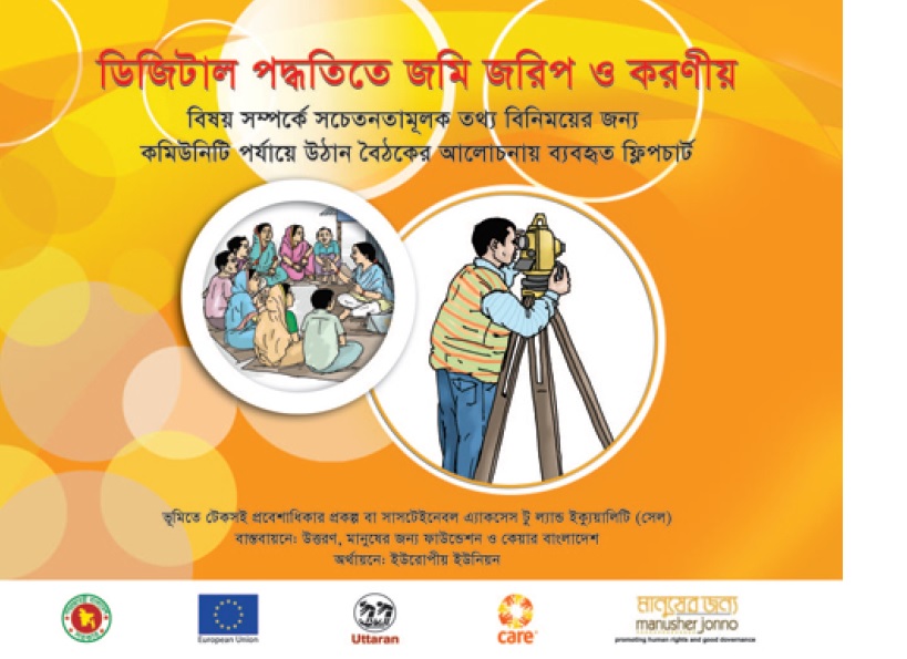
Digital land Survey and Settlement in Bangladesh

Training Resources & Tools
May, 2015
Bangladesh

Utaran began work on the Sustainable Access to Land Equality (SALE) project to ensure transparency and accountability in land governance in December 2012, in partnership with CARE Internaional UK and Manusher Jonno Foundaion (MJF). The project engaged communiies in three pilot upazilas - Amtali Upazila of Barguna District, Mohanpur of Rajshahi, and Sadar of Jamalpur-to raise the awareness of vulnerable landowners about land administraion, and to effect transparent processes for selecing landless people and for khasland setlement.

Digital land Survey and Settlement in Bangladesh (cartoon book)

Institutional & promotional materials
March, 2017
Bangladesh

Utaran began work on the Sustainable Access to Land Equality (SALE) project to ensure transparency and accountability in land governance in December 2012. The project engaged communiies in three pilot upazilas - to raise the awareness of vulnerable landowners about land administraion, and to effect transparent processes for selecing landless people and for stateland setlement.

East Bengal Tenancy Rules 1954

Legislation & Policies
June, 1954
Bangladesh

The East Bengal State Acquisition and Tenancy Act of 1950 (also known as the East Pakistan Estate Acquisition Act 1950) was a law passed by the newly formed democratic Government of East Bengal in the Dominion of Pakistan (present day Bangladesh). The bill was drafted on 31 March 1948 during the early years of Pakistan and passed on 16 May 1951. Before passage of the legislature, landed revenue laws of Bengal consisted of the Permanent Settlement Regulations of 1793 and the Bengal Tenancy Act of 1885.