page search

Issuesclimate changeLandLibrary Resource
There are 5, 899 content items of different types and languages related to climate change on the Land Portal.
Displaying 937 - 948 of 3960

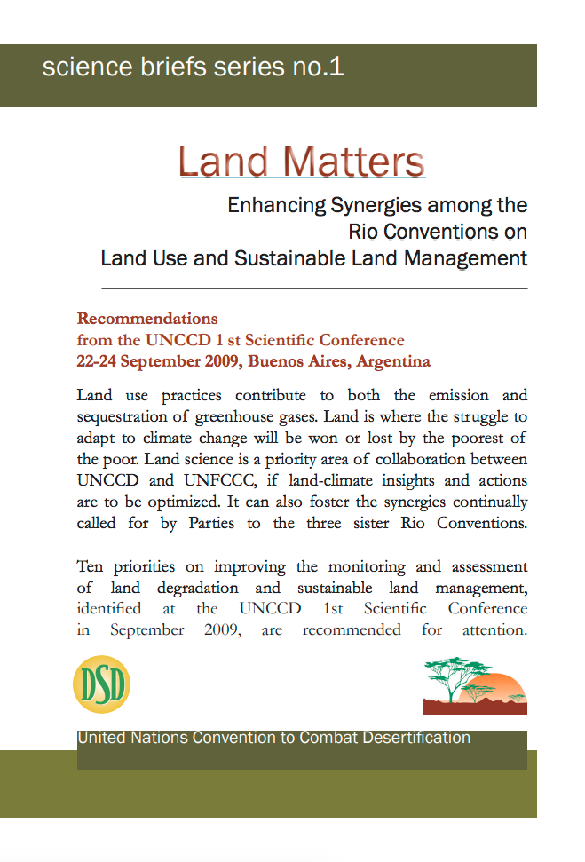
Land Matters: Enhancing Synergies among the Rio Conventions on Land Use and Sustainable Land Management

Policy Papers & Briefs
December, 2008
Global

Land use practices contribute to both the emission and sequestration of greenhouse gases. Land is where the struggle to adapt to climate change will be won or lost by the poorest of the poor. Land science is a priority area of collaboration between UNCCD and UNFCCC, if land-climate insights and actions are to be optimized. It can also foster the synergies continually called for by Parties to the three sister Rio Conventions.

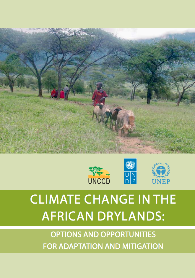
Climate change in the African drylands: Options and opportunities for adaptation and mitigation

Manuals & Guidelines
October, 2009
Global

The drylands of Africa, exclusive of hyper-arid zones, occupy about 43 per cent of the continent, and are home to a rapidly growing population that currently stands at about 325 million people. Dry zones, inclusive of hyper-arid lands, cover over 70 per cent of the continent’s terrestrial surface. Outside of the cities many dryland inhabitants are either pastoralists, sedentary or nomadic, or agro-pastoralists, combining livestock-rearing and crop production where conditions allow.

La gouvernance territoriale et ses enjeux pour la gestion des ressources naturelles

Reports & Research
December, 2008
Global

Comme la Préface l’a souhaité, ce document est conçu comme un plaidoyer. Son objectif, en effet, est de montrer pourquoi il faut aujourd’hui replacer la Convention de Lutte contre la Désertification au cœur des stratégies engagées pour affronter la crise montante de l’écosystème global. Son point de départ est un constat sans appel : la progression de la désertification et de la dégradation des terres et des eaux conduisent inéluctablement à un développement non durable (Chapitre I).

African Drylands Commodity Atlas

Reports & Research
December, 2008
Africa

Desertification is defined as land degradation in arid, semi-arid and dry sub-humid areas, resulting from various factors, including climatic variations and human activities. More than one third of the surface of the earth consists of drylands. In terms of population, one out of every five people of the world live in already degraded or desertification-prone drylands. These people include many of the world’s poorest, most marginalized, and politically weak citizens. For instance, nearly 325 million people in the African continent live in drylands.


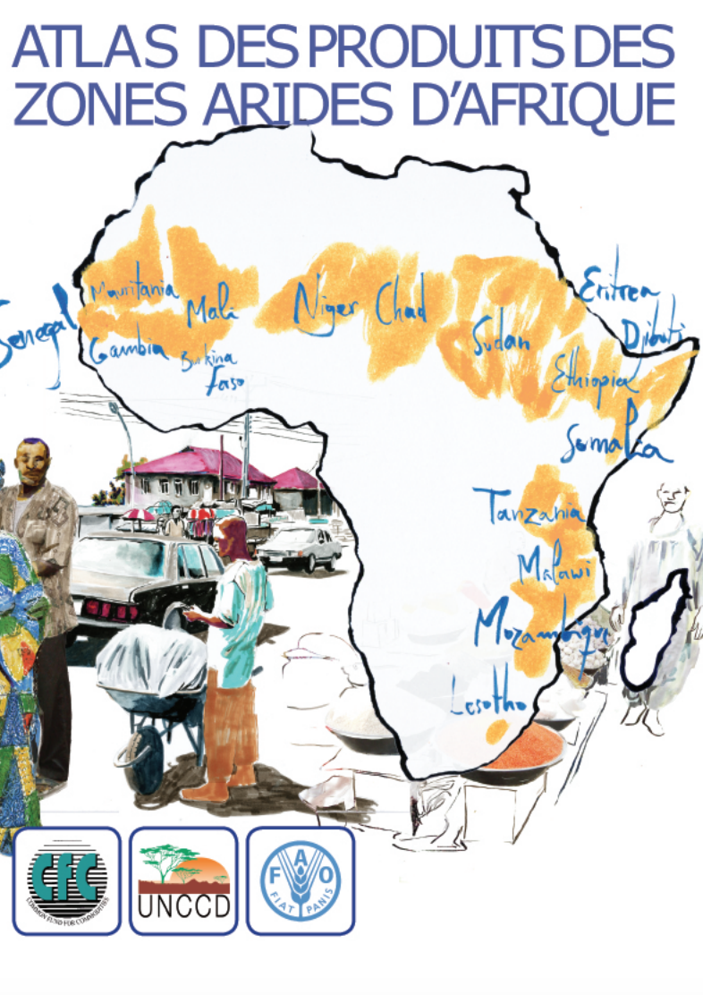
Atlas des Produits des Zones Arides d'Afrique

Manuals & Guidelines
December, 2008
Africa

Avant-propos La notion de désertification se définit comme une dégradation des sols en zone aride, semi-aride et subhumide sèche, souvent appelée simplement « zone aride ». On estime qu’elle résulte d’une combinaison de facteurs, parmi lesquels les changements climatiques et l’activité humaine. Plus d’un tiers de la superficie totale de la terre est considéré comme zone aride. En termes démographiques, c’est un cinquième de la population totale du globe qui vit en zone aride déjà dégradée ou menacée de désertification.

Resource Atlas of Isiolo County, Kenya: Community-based mapping of pastoralist resources and their attributes

Reports & Research
June, 2015
Kenya

Participatory digital mapping using satellite imagery and digital earth and other open source Geographic Information Systems (GIS) is a practical tool bridging the knowledge and communication gap between pastoral communities and county government planners. It is offering an effective option for participatory planning and decision-making in support of climate change adaptation in the drylands of Kenya.


Recent Glacier Recession – a New Source of Postglacial Treeline and Climate History in the Swedish Scandes

Peer-reviewed publication
December, 2011

Climate warming during the past century has imposed recession of glaciers and perennial snow/ice patches along the entire Swedish Scandes. On the newly exposed forefields, subfossil wood remnants are being outwashed from beneath ice and snow bodies. In Scandinavia, this kind of detrital wood is a previously unused source of postglacial vegetation and climate history. The present study reports radiocarbon dates of a set of 78 wood samples, retrieved from three main sites, high above modern treelines and stretching along the Swedish Scandes.

Treeline advance - driving processes and adverse factors

Peer-reviewed publication
June, 2007

The general trend of climatically-driven treeline advance is modified by regional, local and temporal variations. Treelines will not advance in a closed front parallel to the shift of any isotherm to higher elevations and more northern latitudes. The effects of varying topography on site conditions and the after-effects of historical disturbances by natural and anthropogenic factors may override the effects of slightly higher average temperatures. Moreover, the varying treeline-forming species respond in different ways to a changing climate.

One Century of Treeline Change and Stability - Experiences from the Swedish Scandes

Peer-reviewed publication
March, 2010

This paper elaborates and visualizes processes recorded in a recent regional and multi-site study of elevational
treeline dynamics during the period 1915 to 2007 in the Swedish Scandes. The purpose is to give a concrete face of
the landscape transformation which is associated with the recorded treeline shifts. The main focus is on stand-level
structure of past and present treelines and the advance zones, where climate change elicited responses by Betula pubescens

Higher-than-present Medieval pine (Pinus sylvestris) treeline along the Swedish Scandes

Peer-reviewed publication
May, 2015
Russia
Greenland
Sweden

The upper treeline of Scots pine (Pinus sylvestris L.) is renowned as a sensitive indicator of climate change and variability. By use of megafossil tree remains, preserved exposed on the ground surface, treeline shift over the past millennium was investigated at multiple sites along the Scandes in northern Sweden. Difference in thermal level between the present and the Medieval period, about AD 1000-1200, is a central, although controversial, aspect concerning the detection and attribution of anthropogenic climate warming.

Surface thermal analysis of North Brabant cities and neighbourhoods during heat waves

Peer-reviewed publication
March, 2016
Netherlands

The urban heat island effect is often associated with large metropolises. However, in the Netherlands even small cities will be affected by the phenomenon in the future (Hove et al., 2011), due to the dispersed or mosaic urbanisation patterns in particularly the southern part of the country: the province of North Brabant.

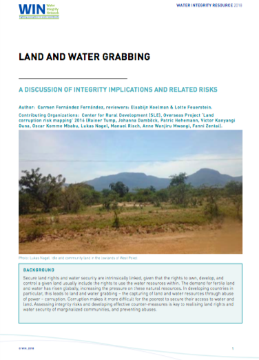
Land and Water Grabbing

Policy Papers & Briefs
March, 2018
Global

IN’s latest resource is an introduction to the topic Land and Water Grabbing: A discussion of integrity implications and related risks, which discusses the integrity implications and risks of land and water grabbing. The essay examines the link between land and water grabbing, the people that are most impacted by this, and legal frameworks related to both land and water rights. Land and Water Grabbing describes the impacts of land and water grabbing in Kenya and Ethiopia.