Proportion of land that is degraded over total land area
Last updated on 1 February 2022
This indicator is currently classified as Tier I. The United Nations Convention to Combat Desertification (UNCCD) is the Custodian agency for this indicator. Food and Agriculture Organization of the United Nations (FAO) and the United Nations Environment Programme (UNEP) are partner agencies.
Unit of measure: Proportion of land that is degraded over total land area (%)
Why is this indicator important?
Food production, extractive industries, or the expansion of infrastructure increase pressure on arable lands, pastures, forestry, and other essential areas. In turn, land degradation has negative effects on ecosystems, farm yields, and the quantity and quality of water resources. As a consequence, food insecurity may rise and facilitate migration and urbanization.
To assess the extent of land degradation is important for tracking progress towards voluntary Land Degradation Neutrality (LDN) targets and for the development of plans of action to redress degradation, including through the conservation, sustainable management, rehabilitation and restoration of land resources.
How is the indicator measured and monitored?
According to the metadata document, the indicator uses a binary classification (degraded or not degraded) drawing on the three sub-indicators that assess trends in land cover, in land productivity, and in carbon stocks above and below ground. Any significant decrease or negative change in one of the three is considered to compromise land degradation. Land degradation is defined the reduction or loss of the biological or economic productivity and complexity of rain fed cropland, irrigated cropland, or range, pasture, forest and woodlands resulting from a combination of pressures, including land use and management practices. (UNCCD 1994, Article 1).
Since 2018, data is collected every four years through UNCCD’s national reporting and review process. Data sources include databases, maps, reports provided by ministries or agencies along with national statistical offices, as well as remote sensing, such Earth Observation data sources, that are disaggregated to national level. The Good Practices Guidance for SDG Indicator 15.3.1, version 2.0 provides a detail overview on monitoring and computation. The main limitations include the availability of historical time series and the, as of yet, often limited national capacities to process, interpret, and validate geospatial data.
By Anne Hennings, peer-reviewed by UNCCD.
Official indicator data
The proportion of land that is degraded draws on three sub-indicators: Land productivity, land cover, and soil organic carbon.
* Select "year" below to see the most recent data for more countries.
Other related indicators on Land Portal
In addition to the official indicator data, the following indicators provide information concerning land under organic agriculture and the enforcement of land use restrictions in rural areas.
| Indicator | Min-Max Number of years |
Countries / Obs | Min / Max Value |
|---|---|---|---|
| Agricultural area certified organic | |||
| Agriculture area under organic agric. | |||
| Restrictions regarding rural land use are enforced |
Progresso em direção aos compromissos de degradação e restauração de terras dos ODS 2023

Quando os Estados membros da Nações Unidas adotaram os Objetivos de Desenvolvimento Sustentável (ODSs) em 2015, comemoramos o reconhecimento de líderes mundiais do papel fundamental e estratégico que a gestão sustentável da terra deve desempenhar para promover a resiliência climática, a conservação da biodiversidade e a manutenção de suprimentos de alimentos suficientes para todas e todos nós.
Progress towards the SDG land degradation and restoration commitments 2023
When UN member states adopted the Sustainable Development Goals (SDGs) in 2015, we celebrated world leaders’ recognition of the foundational and strategic role that sustainable land management must play to advance climate resilience, biodiversity conservation, and maintain sufficient food supplies for us all.
Metadata on SDGs Indicator 15.3.1
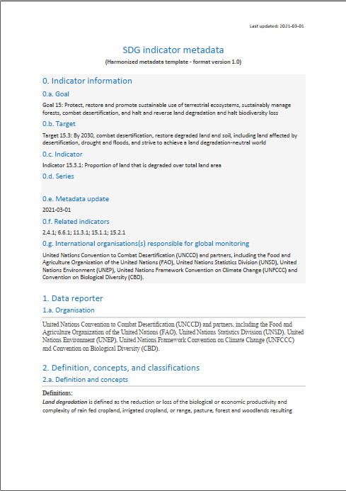
Indicator 15.3.1: Proportion of land that is degraded over total land area
Agency shifts in agricultural land governance and their implications for land degradation neutrality

Given current land degradation trends, Land Degradation Neutrality (LDN, SDG Target 15.3) by 2030 could be difficult to attain. Solutions to avoid, reduce, and reverse land degradation are not being implemented at sufficiently large scales, pointing to land governance as the main obstacle.
Progress Towards the SDG Land Degradation and Restoration Commitments

In 2015 we celebrated world leaders’ recognition of the foundational and strategic role that sustainable land management must play t o advance biodiversity conservation and climate resilience.
Deforestation and forest degradation in the Amazon Biome

Introduction
The Deforestation and Forest Degradation in the Amazon Biome map was produced by Imazon in order to contribute towards monitoring in the region. The methodology applied simultaneously generates mapping of deforestation and forest degradation [caused by logging activity and forest burning] using Landsat satellite images. Existing methods individually detect and map those processes, which can lead to overlaps in the results and increasing uncertainty in estimates of annual deforestation rates.
Land Matters: How Securing Community Land Rights Can Slow Climate Change and Accelerate the Sustainable Development Goals

There is a strong and compelling environment and development case to be made for securing indigenous and community lands. Securing collective land rights offers a low-cost, high-reward investment for developing country governments and their partners to meet national development objectives and the 17 Sustainable Development Goals. Securing community lands is also a cost-effective climate mitigation measure for countries when compared to other carbon capture and storage approaches.
Living the best of both worlds

Imagine a world where sustainable development is no longer an oxymoron, one where the Earth is economically and ecologically stable and food and energy needs are met. It’s a place where habitats are preserved and pollution is limited.
Don’t worry – you’re not alone if you can’t.
But according to a recent study published in The Ecological Society of America, this vision is not just imaginable, but it’s attainable. And by 2050 no less.
Progress in Land Indicators

This July is the first time the United Nations will review the progress made towards meeting Sustainable Development Goal 15, which is about Life on Land. Each goal will be reviewed about every 4 years until 2030.
The reviews will be based on the 10 indicators countries agreed on, that assess change in each country over time. Two important developments relating to the indicator on land degradation neutrality (15.3.1) have occurred, since its adoption in 2015.
![]()

By 2030, combat desertification, restore degraded land and soil, including land affected by desertification, drought and floods, and strive to achieve a land degradation-neutral world
Indicator details
The Indicator is conceptually clear, has an internationally established and available methodology and standards, and that data is regularly produced by countries for at least 50 per cent of countries and of the population in every region where the indicator is relevant.
Key dates: