Konrad is currently working at the Geography Department at the University of Bonn. He has a strong interdisciplinary background on Geomatics and Landmanagement, and holds a German Diplom (comp. to MSc) of Geography with minor subjects Anthropology, Soil Science and Agriculture of Tropics and Subtropics. He did a PhD on remote sensing methodologies for mapping Zimbabwe's fast track land reform.
His interest lies in the use of GIS and Remote Sensing in the dispute of conservation, agricultural development and equal land rights. Currently, he is focussing on normative aspects and narratives within Geospatial analysis for interdisciplinary land science.
Details
Website
Location
Contributions
Displaying 1 - 2 of 2How Satellites can locate potential land grabs in Africa
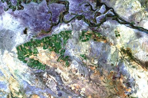
This data story gives an overview of current land grabbing databases, their lack of spatial information and how remote sensing datasets can overcome this lack when being used to detect large scale agricultural production schemes.


