page search

Datasets

Datasets resource type on the Land Library offers in most cases raw data (statistical, spatial and qualitative) originating from various research studies and independent surveys. These datasets are provided by Land Portal users and are not necessarily curated by the Land Portal team (as the ones in the Dataset section)

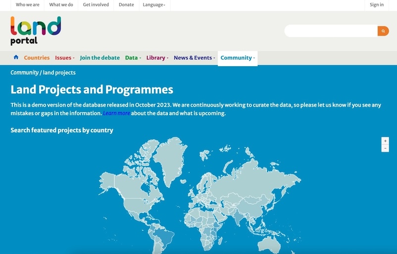
Land Projects Database - dataset version from 26 March 2024

Datasets
February, 2024
Global

This is the dataset from 26.03.2024 of Land Portal's Projects Database - a dataset curated by the Land Portal's team. The dataset includes information about +3,800 development projects with objectives related to land governance. Most of the projects have been sourced from the International Aid Transparency Initiative (IATI), and some have been provided directly by donor or implementing organizations. A number of projects may have a broader scope, e.g.

Mujeres rurales en Colombia

Datasets
November, 2020
Colombia

El Departamento Administrativo Nacional de Estadística – DANE, en reconocimiento de la necesidad de visibilizar las situaciones de vida de todos los grupos poblacionales, presenta este boletín descriptivo que pretende mostrar un panorama de las condiciones de vida de las mujeres rurales en Colombia, principalmente tomando como año de referencia 2019. La primera sección incluye una descripción de la población que habita las zonas rurales en Colombia, seguida de información sobre la población rural con autorreconocimiento étnico; en la tercera sección se presenta el trabajo realizado por las

Documents required for formal recognition of land tenure rights and transactions for 68 countries

Datasets
November, 2019
Africa
Latin America and the Caribbean
Asia
Global

This table provides a listing of official documents required for the legal recognition of land tenure rights and land transactions. The database covers 68 countries in the world, including most countries in Sub-Saharan Africa. This database was prepared for national statistical organizations, research institutes and others undertaking population surveys on land tenure. It will enable them to prepare questionnaires and facilitate the coding of land documents reported by respondents.

Land Matrix

Datasets
Training Resources & Tools
December, 2008
Africa
Uganda
Cameroon
Senegal
Latin America and the Caribbean
Argentina
Asia
Philippines
Eastern Europe

The Land Matrix is an independent land monitoring initiative that promotes transparency and accountability around large-scale land acquisitions (LSLAs) in low- and middle-income countries across the world. By capturing data on its website, the initiative aims to stimulate debate on the trends and impacts of LSLAs, facilitate wide participation in collecting and sharing data about these deals, and contribute to the growing movement towards open data.