Location
The Faculty of Geo-Information Science and Earth Observation (ITC) of the University of Twente provides international postgraduate education, research and project services in the field of geo-information science and earth observation using remote sensing and GIS. The aim of ITC's activities is the international exchange of knowledge, focusing on capacity building and institutional development in developing countries and emerging economies.
Resources
Displaying 1 - 2 of 2Spotting East African mammals in open savannah from Space
Knowledge of population dynamics is essential for managing and conserving wildlife. Traditional methods of counting wild animals such as aerial survey or ground counts not only disturb animals, but also can be labour intensive and costly. New, commercially available very high-resolution satellite images offer great potential for accurate estimates of animal abundance over large open areas. However, little research has been conducted in the area of satellite-aided wildlife census, although computer processing speeds and image analysis algorithms have vastly improved.
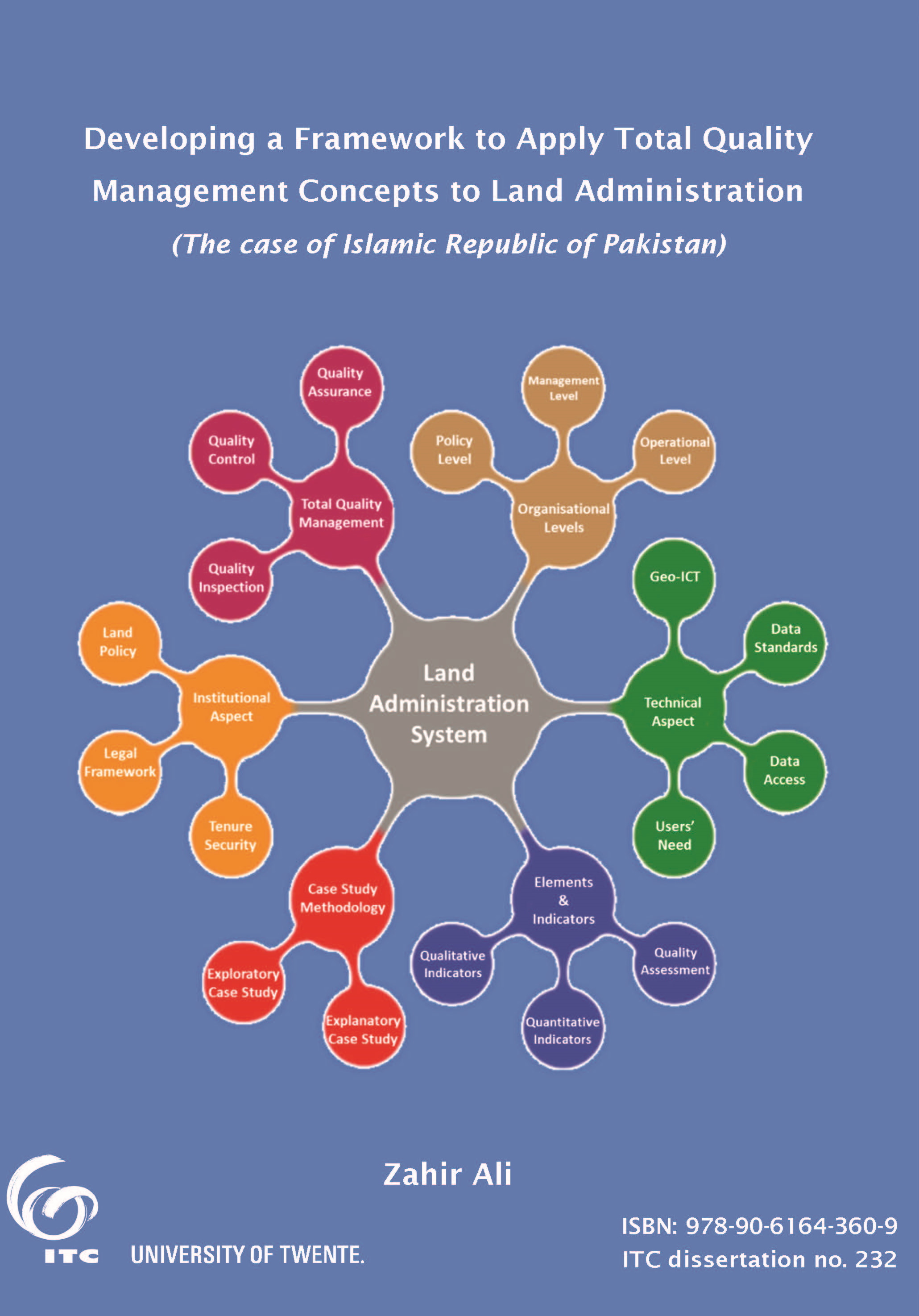
Developing a framework to apply Total Quality Management concepts to land administration: the case of Islamic Republic of Pakistan
Evaluation and assessment of land administration system (LAS) has been getting more attention over the last few years. Different assessment approaches have been tried across land administration systems at international level to assess the performance of these systems, but the attention is given to only those parameters which are common to all these systems. In some cases, legal and technical parameters are considered while institutional and organisational parameters got more attention in others.


