Focal point
Location
FIG is the premier international organization representing the interests of surveyors worldwide. It is a federation of the national member associations and covers the whole range of professional fields within the global surveying community. It provides an international forum for discussion and development aiming to promote professional practice and standards.
FIG was founded in 1878 in Paris and was known as the Fédération Internationale des Géomètres. This has become anglicized to the International Federation of Surveyors. It is a UN-recognized non-government organization (NGO), representing more than 120 countries throughout the world, and its aim is to ensure that the disciplines of surveying and all who practise them meet the needs of the markets and communities that they serve.
The FIG vision
A modern and sustainable surveying profession in support of society, environment and economy by providing innovative, reliable and best practice solutions to our rapidly changing and complex world, acting with integrity and confidence about the usefulness of surveying, and translating these words into action.
The role of FIG
FIG’s activities are governed by a work plan, which is approved by the General Assembly and reviewed by Council as its tenure progresses. The current work plan with the motto “Ensuring the Rapid Response to Change Ensuring the Surveyor of Tomorrow” guides Council, Commissions, Networks and Task Force in their activities.
FIG supports the role of a prosperous and sustainable profession of surveyors to provide solution functionality, reliably, affordably for a complex and rapidly changing world that cannot wait, and to translate a sustainable development agenda into action. FIG supports international collaboration among its members for the progress of surveying in all its fields and applications. FIG has a close cooperation with United Nations relevant bodies, World Bank, and its sister associations and has been globally recognized as the leading international non-governmental organization on geospatial information and the management of “land”, the “sea” and the “built” environment. It is within the surveyors’ task to determine the size and shape of the earth, to map its surface and to manage it in a sustainable way.
Resources
Displaying 21 - 25 of 49Cadastral Template 2.0 - Cambodia Country Profile
The history of modern land management and administration in Cambodia begins with French initiatives in the late 19th century. The first Civil Code was adopted in 1920 and it established a system of French land law that recognized private property rights. Some traditional Cambodian rights, in particular that of creating a land right simply by occupation and possession, were included in the Civil Code. During the 1960s there was an adequate system of land management, including confirmation of private property rights with land records including cadastral maps and land titles.
A taxonomy of spatial units in a mixed 2D and 3D cadastral database
The aim of this paper is to define the range of objects that may need to be accommodated in the development of a practical cadastral database, to also accommodate 3D spatial units, and permit a range of encodings to coexist. The level of geometric encoding as defined in the ISO19152 LADM provides a framework of categorization of spatial units recorded in a cadastre, whether formal or informal, historic, current or planned. The levels of encoding range from simple “text based” spatial unit to the “topology based” encoding (in both 2D and 3D).
Towards Kenya’s Profile of the Land Administration Domain Model (LADM)
The application of computer technology in land administration is touted as one way of ensuring efficient and transparent land administration. Although this true, one major concern is not only how to create a computerized land information system that is interoperable across different government departments responsible for different land administration functions, but also how to ensure interoperability between national and devolved levels of government departments responsible for land administration.
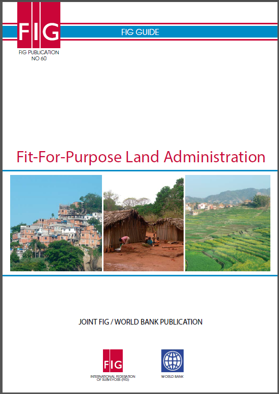
Fit-For-Purpose Land Administration
The current solutions to delivering land administration services have very limited global outreach; 75 percent of the world's population do not have access to formal systems to register and safeguard their land rights. The majority of these are the poor and the most vulnerable in society and without any level of security of tenure they constantly live in threat of eviction.
Progressive development of a digital cadastral data base
A Digital Cadastral Data Base (DCDB) is a big investment for a jurisdiction tasked with the administration of land boundaries. In the past, the development of such a database produced no real pay-back on investment until many years, and millions of dollars had been committed. The Land Administration Domain Model (LADM) (ISO-TC211 2012) provides a model of a schema in which a progressive creation and improvement of a DCDB is possible, to allow benefits to be obtained even in the early stages of this effort.


