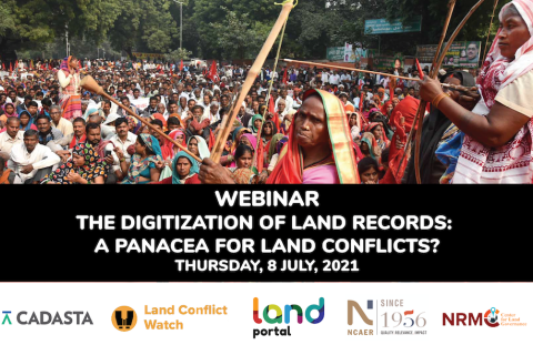
The Digitization of Land Records: A Panacea for Land Conflicts?
Access to land is a critical factor for economic growth and poverty reduction. For government, industry, and citizens to be able to use this asset effectively and to minimize land conflicts, it is important to have access to reliable land and property records.
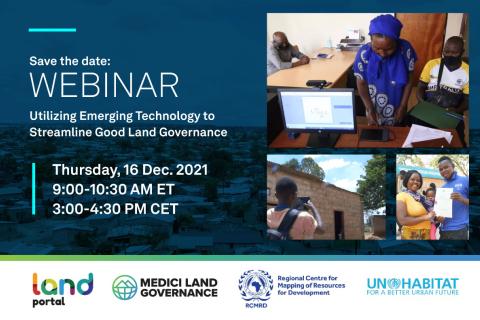
Utilizing Emerging Technology to Streamline Good Land Governance
FIG Congress 2022
It is a real honour to host the FIG Congress 2022 in Warsaw, Poland. The Conference will be held 11-15 September 2022 in Warsaw, Poland at DoubleTree by Hilton Hotel & Conference Centre Warsaw.
Innovations in Demand-Driven Property Registration
Approximately 1 billion people globally have insecure rights to their land and homes, leaving them vulnerable to conflict, hunger, poverty, and gender-based violence. A major contributor to property insecurity is that a quarter of the world’s population lacks formal property documents.
Building open & transparent land information systems through a global alliance
Over the last three years the Land Portal Foundation has collaborated with Global Data Barometer and Open Data Charter to embed land issues within key open data activities.
FIG Working Week 2023
When our global community unites, the energy is unstoppable. That’s why FIG and the local organisers, NSPS, are thrilled to invite you for the FIG Working Week 2023. Look forward to an exciting week-long conference that brings the international community of surveying and spatial professionals together to experience a mix of interesting technical sessions and workshops, a trade exhibition and a variety of side events and social functions.
Uncovering Land Data Opportunities in Senegal
The momentum is increasing around international land monitoring initiatives, together with an unprecedented demand for free, accessible, and usable land data and information. The land sector must find ways to seize opportunities presented by open data innovations while negotiating a rapidly changing data environment.
The Land Portal and Open Data Charter have been working with the Government of Senegal to open up land data, following the guidance set forth in the Open Up Guide for Land Governance. The Open Up Guide is a practical guide for governments who are seeking to better collect, publish, and use land data for the public good. As Phase 1 of this project, the team has published the State of Land Information in Senegal (SOLI) Report. SOLI reports are research-driven analyses of the current state of land data that assess the available land information against open data standards.
The webinar will:
-
Share latest results from the Open Up Guide implementation pilot in Senegal and findings from the SOLI Senegal report
-
Ask and discuss questions concerning the interest in and maturity of open data in Senegal as it relates to land
-
Hear perspectives from the government of Senegal (ANAT, PROCASEF), donors (GIZ, World Bank), local community members, using specific case studies on data and land initiatives
Introducing the State of Land Information Index
This side event will serve to introduce the Land Portal’s State of Land Information Index (SOLIndex), which measures openness of land data at the country and global level. The aim of this index is to make land-related findings more actionable and to complement existing land governance monitoring systems, such as tools developed by GLTN. The SOLIndex provides an overall indicator that assesses the openness of land data and information at global and country levels. The SOLIndex can be used as a diagnostic and advocacy tool for making land data more open and inclusive in support of good land governance.
This side event will explore the range of indicators that constitute the index, explore strengths, weaknesses, opportunities and threats of the collection of these indicators in an effort to obtain and incorporate feedback from GLTN Partners into the process of validating the indicator.
The State of Land Data: Transforming Africa Into a Powerhouse of the Future
This webinar aimed to build the capacity of researchers and practitioners across Africa to better understand sustainable approaches to land data governance. The webinar highlighted the importance of good land data governance for improving property rights and enabling more efficient government services.
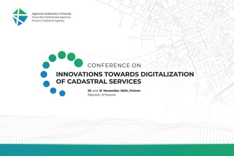
Innovations towards the Digitalization of Cadastral Services
Under the theme “Innovations towards the Digitalization of Cadastral Services,” this conference aimed to drive innovation and excellence in the field. Over two days, participants explored the latest breakthroughs and advancements in cadastral technology, learning from the experiences of local and international experts.

