page search

IssuesmapsLandLibrary Resource
Displaying 169 - 170 of 170

Estado actual de las mesas agroclimáticas participativas en Honduras.

December, 2022
Honduras

La elección en Honduras para implementar esta iniciativa no es casualidad, desde hace varios años el país enfrenta eventos climáticos extremos y permanece expuesto a condiciones de variabilidad que retan la estabilidad de su producción agrícola. Las MAPs han surgido como una acción de respuesta valiosa para abordar la problemática, conectando a eslabones de la cadena de información y traduciendo los mensajes brindados por CENAOS-COPECO.

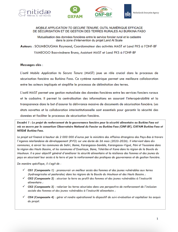
MOBILE APPLICATION TO SECURE TENURE, OUTIL NUMÉRIQUE EFFICACE DE SÉCURISATION ET DE GESTION DES TERRES RURALES AU BURKINA FASO

Reports & Research
November, 2024
Burkina Faso

L’outil Mobile Application to Secure Tenure (MAST) joue un rôle crucial dans le processus de sécurisation foncière au Burkina Faso. Ce système numérique permet une meilleure collaboration entre les acteurs impliqués et simplifie le processus de délimitation des terres.

Events

  • 0
  • 1
  • 2

Earth Observations for Humanitarian Applications

05 June 2024 - 19 June 2024

NASA’s Applied Remote Sensing Training Program (ARSET) has opened a new open, online webinar series: Earth Observations for Humanitarian Applications. Refugees, internally displaced people (IDPs), and other displaced populations are made more vulnerable to climate change impacts due to their socio-political marginalization. This three-part, intermediate training presents concrete strategies for mapping localized climate conditions with risks faced by refugee and IDP communities around the world.

The training will focus on flood risk assessments and specific challenges for assessing flood risk in refugee and IDP camps; gauging long-term heat stress in refugee camps and the challenges with decision making surrounding heat risk; and monitoring drought effects on agricultural landscapes in refugee settings using Earth observations (EO) to explore the correlations between anomalies in crop productivity and weather-based factors


Assessing the Impacts of Fires on Watershed Health

05 July 2023 - 12 July 2023

NASA’s Applied Remote Sensing Training Program (ARSET) has opened a new open, online webinar series: Assessing the Impacts of Fires on Watershed Health. This advanced-level, three-part training will focus on using remote sensing observations for monitoring post-fire impacts on watershed health. Specifically, this training will highlight uses of NASA Earth observations (EO) for pre-fire land cover mapping, watershed delineation and stream mapping, post-fire burn severity mapping, and pre- and post-fire riverine and freshwater water quality.

Fundamentals of Machine Learning for Earth Science

19 April 2023 - 03 May 2023

NASA’s Applied Remote Sensing Training Program (ARSET) has opened a new online introductory webinar series: Fundamentals of Machine Learning for Earth Science. This three-part training, presented in English and Spanish, is open to the public and will provide attendees an overview of machine learning in regards to Earth Science, and how to apply these algorithms and techniques to remote sensing data in a meaningful way. Attendees will also be provided with end-to-end case study examples for generating a simple random forest model for land cover classification from optical remote sensing. We will also present additional case studies to apply the presented workflows using additional NASA data.


Organizations