page search

There are 705 content items of different types and languages related to water on the Land Portal.
Displaying 1 - 3 of 3

Monitoring Coastal and Estuarine Water Quality Using Remote Sensing and In Situ Data

30 November 2021 - 07 December 2021

This two-part, advanced webinar series is a follow-on to the training on coastal and estuarine water quality held in September 2021. It is a hands-on training with demos provided by instructors, followed by an hour of lab time for participants to use Level-1 MODIS and VIIRS data provided by the Ocean Biology DAAC (OB.DAAC) and SeaDAS and OCSSW software for deriving water quality parameters.

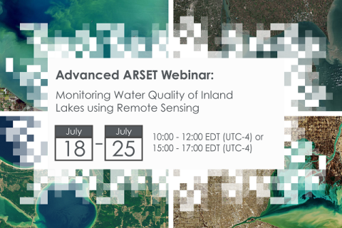
Monitoring Water Quality of Inland Lakes using Remote Sensing

17 July 2023 - 24 July 2023

NASA’s Applied Remote Sensing Training Program (ARSET) has opened a new open, online webinar series: Monitoring Water Quality of Inland Lakes using Remote Sensing. This advanced-level training will focus on using remote sensing observations from Landsat 8 and 9, Sentinel-2, and Sentinel-3 for assessing water quality parameters, including chlorophyll-a concentration, turbidity, and Total Suspended Solids (TSS) in inland lakes. This training will also highlight the importance of in situ measurements of these parameters, coincident with satellite observations, in developing methodologies for operational water quality monitoring.