page search

Issuesland surveyingLandLibrary Resource
Displaying 1 - 12 of 16

Cadastral Land Survey (Registration of Memorandum of Survey and Survey Report in Rodrigues) (Amendment) Regulations 2015 (GN No. 46 of 2015).

Regulations
May, 2016
Africa
Eastern Africa
Mauritius

These Regulations amend the Cadastral Land Survey (Registration of Memorandum of Survey and Survey Report in Rodrigues) Regulations 2013 in regulation 3 with respect of ptrcedures for the registration and approval of a Memorandum of Survey and Survey Report. The Departmental Head shall endorse every memorandum or report of survey. Amends: Cadastral Land Survey (Registration of Memorandum of Survey and Survey Report in Rodrigues) Regulations 2013 (GN No. 121 of 2013). (2013-06-06)

Malaysian Land Administration Domain Model Country Profile

Peer-reviewed publication
July, 2015
Malaysia

Land administration is a process of recording and disseminating information about the association between people and land. To administer land matters in Malaysia, the Department of Surveying and Mapping Malaysia uses eKadaster and Land Office has eTanah which are different in e-Systems. Currently, Malaysia does not have a standard model for land administration and standardisation is one of the important aspects in a land administration process. This paper proposed a country profile model using international standards based on Land Administration Domain Model.

A Preliminary Study on The Formation of Land Legislation and Cadastre System in Sarawak, Malaysia

Peer-reviewed publication
April, 2019
Malaysia

Recent decades have witnessed a perceptible impact of land policy and cadastre on the urbanisation around the globe. Land legislation and cadastre system are the tools and mechanisms in order to achieve the objectives of land policy in delivering sustainable development. According to the Federal Constitution of Malaysia, article 74 empowers the State Legislative Assemblies to enact laws for the matters under the state list while land matters are one of the subjects under the list.

Legal Coordinated Cadastres

Conference Papers & Reports
September, 2006
Singapore

The field of cadastre holds an inherent complexity much based on its interdisciplinary characteristics and the national uniqueness of each cadastral system. In addition, some cadastral terminology is vague or ambiguous, which is why omission of the explicit sense and context of a particular term may bring obscurity to international comparisons and analyses. The concept legal coordinated cadastre (and kindred expressions), occasionally mentioned in connection with visions and plans of cadastral modernisation, is discussed here in order to clarify possible meanings and implications.

Historical Evolution of Land Administration in Bangladesh

Peer-reviewed publication
November, 2018
Bangladesh

Land is the main historical basis of Bangladesh. Bangladesh has been attracted lots of races and nations from various continents at different times because of its resourceful land and administered by them one by one. The land system (administration, revenue, ownership, survey etc.) has also been changed with the change of such administration. This study aims to analyze the chronological changes of land administrative management systems in Bangladesh.

Drawbacks of land administration system in Bangladesh and some feasible solutions

Journal Articles & Books
July, 2015
Bangladesh

The land administration system in Bangladesh is not well-developed. It is beset with multiple defects and problems. It is corrupt, inefficient, and unreliable and inherently contains systematic weaknesses. Corruption has become a grave issue in this sector. A World Bank survey reveals that most crimes and corruptions in Bangladesh take place in land-related services. It has estimated that more than 3.2 million land-related cases are pending before the judiciary. A large number of the aggrieved persons is not empowered enough to approach the courts for litigation.

Censo Nacional Agropecuario 2018

Reports & Research
Institutional & promotional materials
March, 2021
Argentina

En noviembre de 2019, el Instituto Nacional de Estadística y Censos (INDEC) inició la difusión de resultados del decimotercer Censo Nacional Agropecuario (CNA-18) de la República Argentina. A partir de entonces, en poco menos de un año y en un contexto atravesado por la emergencia sanitaria, se presentaron los resultados preliminares de agricultura y ganadería. Este informe contiene, junto a las bases de datos que se difundirán en el sitio web del INDEC, los resultados definitivos y detallados, al máximo nivel de apertura posible, del CNA-18. 

Geoinformation Technologies in Land Management and Beyond: Case of Georgia

Conference Papers & Reports
September, 2006
Georgia

Introduction of geoinformation technologies for building up a modern land management system in Georgia goes back to mid-1990s. This has been stimulated by start of land reform resulting in privatization of over 3 million agricultural land plots in whole in the entire country. These new properties were to be properly surveyed, registered and recorded in a newly established cadastral system with the aim of launching free market transactions.

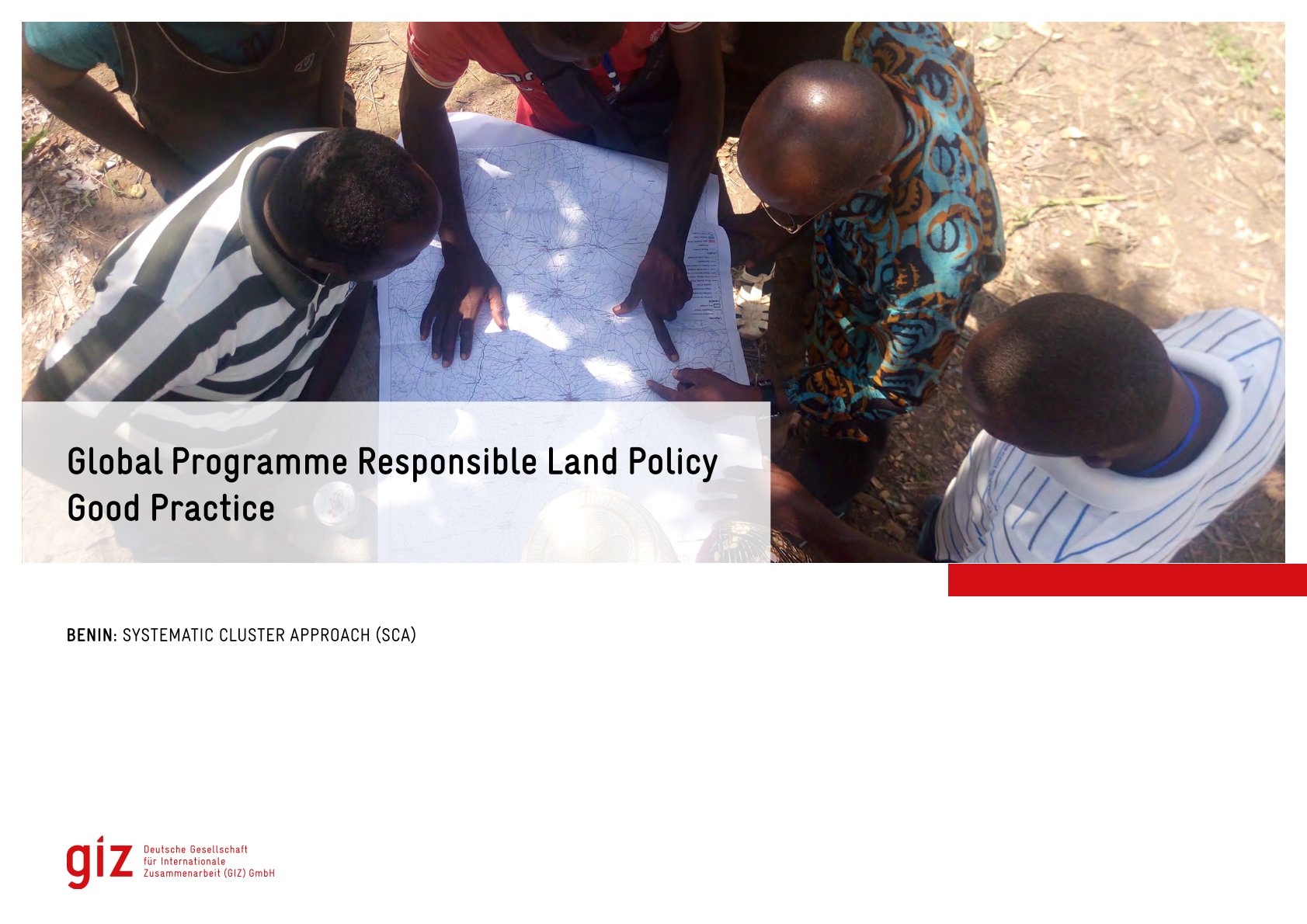
Good Practice

Institutional & promotional materials
July, 2022
Africa
Benin


The Global Programme 'Responsible Land Policy' (GPRLP) is part of the Special Initiative 'One World, No Hunger' of the German Federal Ministry for Economic Cooperation and Development (BMZ), which aims to reduce extreme poverty and hunger.

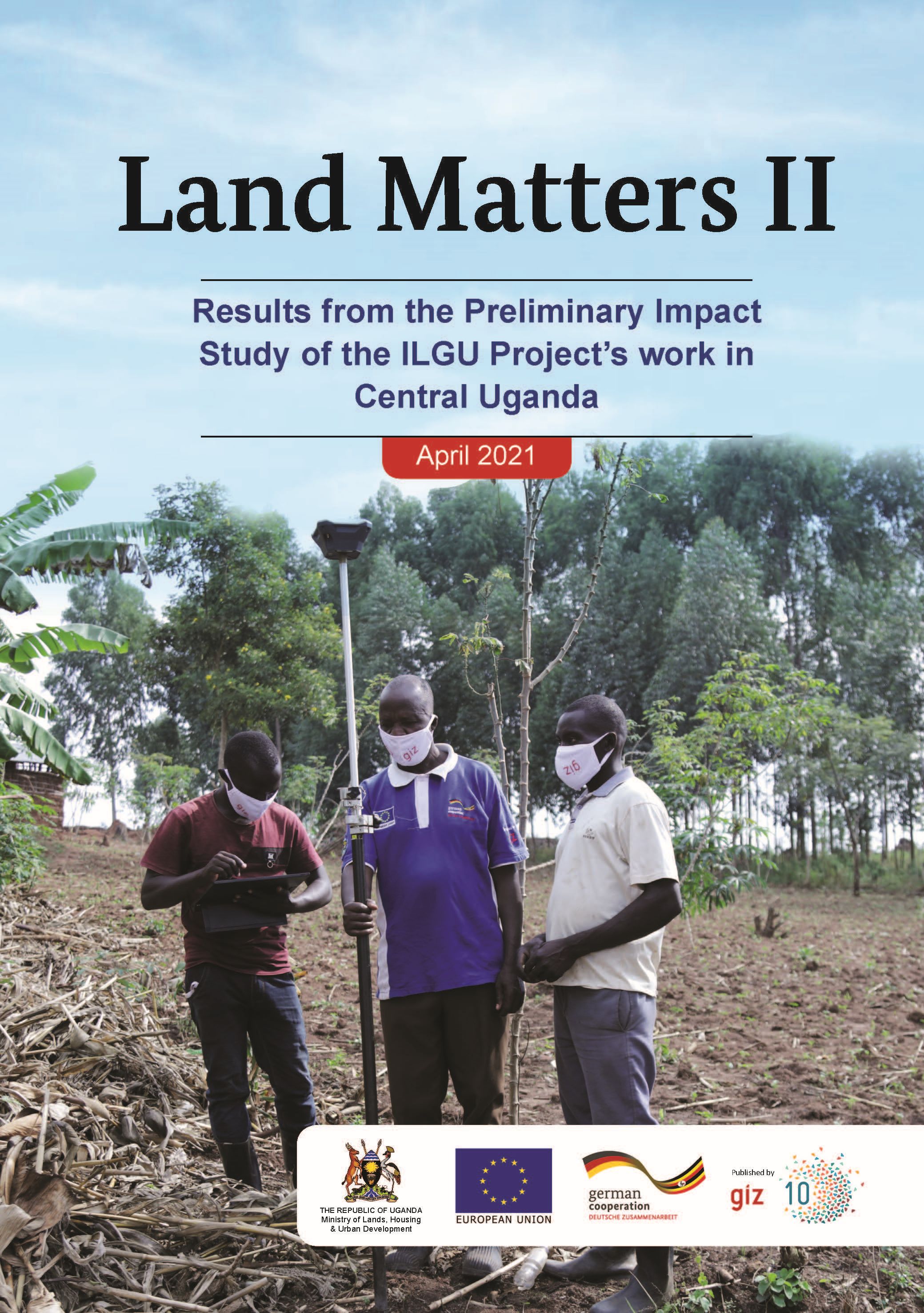
Land Matters II

Reports & Research
March, 2021
Uganda

Improvement of Land Governance in Uganda (ILGU) is a project implemented by the German International Cooperation (GIZ), seeking to increase productivity of small-scale farmers on private Mailo land in Central Uganda, co-financed by the European Union and German Government through the German Federal Ministry for Economic Cooperation and Development (BMZ).

Mutations du système agraire dans le Département de la Nya, région du Logone Oriental au Sud du Tchad

Reports & Research
September, 2017
Chad

La région du Logone Oriental est une zone pétrolifère à vocation
agricole. Plus de 80 % de la population vit des activités agropastorales. Dans
les années 2000, la croissance de la population et la mise en place des
infrastructures pétrolières a conduit à une restriction des terres agricoles. Dans le
contexte de l’exploitation pétrolière, la terre a pris une autre importance. Elle
est disputée par les pétroliers pour l’installation de leurs infrastructures et par
les populations rurales pour l’exploitation agricole. L’objet de la présente