UK Land Policy Forum
The fourth UK Land Policy Forum will take place at the Overseas Development Institute on 26 April, 1:00pm – 5:00pm.
For those planning to join in person:
Advanced Webinar: Change Detection for Land Cover Mapping
Land cover changes can impact many areas of life. These changes can affect deforestation, ecological communities, wildfire extent, and urban growth. This advanced series will focus on using satellite imagery to map changes in land cover. Attendees will learn change detection methods, including image subtraction and classification. They will also conduct their own change detection analysis.
Proceedings of the FIG 2020 Working Week: Smart surveyors for land and water management
Due to the current COVID-19 situation, FIG Working Week 2020 has been cancelled. However, the programme, all abstracts and both peer review and regular papers have been published in the FIG 2020 Working Week website. There might be some online webinars/meetings, which will be informed in the event website.
Webinar - "Empowering Women for Open Data Mapping in Agriculture: Implications for Land Rights and SDGs in Africa"
The Data Rights and Responsible Data Working Group of GODAN will be hosting a webinar on the 29th of April. More information here below.
GODAN Webinar - "Empowering Women for Open Data Mapping in Agriculture: Implications for Land Rights and SDGs in Africa"
Wednesday April 29, 2020 at 1:00 PM CEST
Hyperspectral Data for Land and Coastal Systems
Hyperspectral data presents a unique opportunity to characterize specific vegetation types and biogeochemical processes across the land and oceans. Applications of hyperspectral data include plant species identification, invasive species management, assessment of phytoplankton functional types, mapping of wetlands and shallow benthic communities, and detection of harmful algal blooms (HABs).
Exploring advocacy, research, and training on women’s land rights
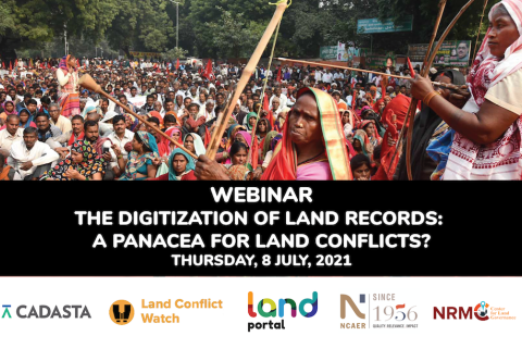
The Digitization of Land Records: A Panacea for Land Conflicts?
Access to land is a critical factor for economic growth and poverty reduction. For government, industry, and citizens to be able to use this asset effectively and to minimize land conflicts, it is important to have access to reliable land and property records.
Fifth India Land and Development Conference (ILDC2021)
As the world is dealing with a pandemic, its repercussions are being reflected in India as well, along with an economic crisis and mass reverse migration which has significantly impacted the lives and livelihoods of people, ILDC2021 invites attention to the relevance of land security, in inclusive and sustainable development with inbuilt resilience to future shocks.
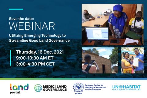
Utilizing Emerging Technology to Streamline Good Land Governance
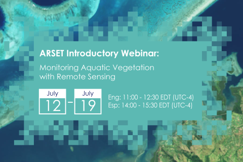
Monitoring Aquatic Vegetation with Remote Sensing
Aquatic vegetation (AV) provides a habitat for numerous small invertebrate and fish species. Kelp forests, for example, are the dominant coastal ecosystem in temperate waters. The presence of AV in coastal waters is a normal occurrence, as it is an important component of the natural marine environment.


