page search

Issuesland-use planningLandLibrary Resource
There are 6, 666 content items of different types and languages related to land-use planning on the Land Portal.
Displaying 3337 - 3348 of 6246

Monitoring Forest Change in Landscapes Under-Going Rapid Energy Development: Challenges and New Perspectives

Peer-reviewed publication
September, 2014

The accelerated development of energy resources around the world has substantially increased forest change related to oil and gas activities. In some cases, oil and gas activities are the primary catalyst of land-use change in forested landscapes. We discuss the challenges associated with characterizing ecological change related to energy resource development using North America as an exemplar. We synthesize the major impacts of energy development to forested ecosystems and offer new perspectives on how to detect and monitor anthropogenic disturbance during the Anthropocene.

Monitoring 60 Years of Land Cover Change in the Marathon Area, Greece

Peer-reviewed publication
June, 2015
Greece

This study deals with the landscape evolution reflected in the changes of land cover in the suburban area of Marathon, Attica, Greece. The study was based on remote sensing images covering the time period between 1945 and 2007. Several other types of data were also used, such as a digital terrain model, historical orthophotos, vegetation maps, geological maps, cadastral maps and aerial photos.

Integrating Forest Cover Change with Census Data: Drivers and Contexts from Bolivia and the Lao PDR

Peer-reviewed publication
March, 2015
Laos
Bolivia

The aim of this paper is to explore possible links between forest cover change and characteristics of social-ecological systems at sub-national scale based mainly on census data. We assessed relationships between population density, poverty, ethnicity, accessibility and forest cover change during the last decade for four regions of Bolivia and the Lao PDR, combining a parcel-based with a cell-based approach.

Simulating Future Forest Cover Changes in Pakxeng District, Lao People’s Democratic Republic (PDR): Implications for Sustainable Forest Management

Peer-reviewed publication
March, 2013
Laos

Future forest cover changes were simulated under the business-as-usual (BAU), pessimistic and optimistic scenarios using the Markov-cellular automata (MCA) model in Pakxeng district, Lao People’s Democratic Republic (PDR). The Markov chain analysis was used to compute transition probabilities from satellite-derived forest cover maps (1993, 1996, 2000 and 2004), while the “weights of evidence” procedure was used to generate transition potential (suitability) maps.

Multi-Layer Assessment of Land Use and Related Changes for Decision Support in a Coastal Zone Watershed

Peer-reviewed publication
March, 2012

In order to address the challenges in coastal regions, there is the need to understand the extent and impacts of past changes and their implications for future management. Land use data and remotely-sensed imagery are often used to provide insights into these changes. Often, however, existing land use data are inconsistent, thus differences observed through their analyses could also be attributable to error. The use of multiple layers of data, in addition and as related to basic land use layers, has been suggested in the literature as a method to mitigate such error.

Design and Interpretation of Intensity Analysis Illustrated by Land Change in Central Kalimantan, Indonesia

Peer-reviewed publication
September, 2013

Intensity Analysis has become popular as a top-down hierarchical accounting framework to analyze differences among categories, such as changes in land categories over time. Some aspects of interpretation are straightforward, while other aspects require deeper thought. This article explains how to interpret Intensity Analysis with respect to four concepts. First, we illustrate how to analyze whether error could account for non-uniform changes. Second, we explore two types of the large dormant category phenomenon. Third, we show how results can be sensitive to the selection of the domain.

Interdependences between Smallholder Farming and Environmental Management in Rural Malawi: A Case of Agriculture-Induced Environmental Degradation in Malingunde Extension Planning Area (EPA)

Peer-reviewed publication
June, 2013

The objective of this article was to develop a deeper understanding of the interdependences between smallholder farming and the state of environmental management in rural Malawi. We examined the agricultural local governance framework in Malingunde Extension Planning Area (EPA), its contribution to food security and how it conflicts with overall land and forest resources management. The charcoal production process was discussed in line with its implications for agricultural production and environmental sustainability.

Land Change in the Greater Antilles between 2001 and 2010

Peer-reviewed publication
June, 2013
Jamaica
Puerto Rico
Cuba
Haiti
Dominican Republic

Land change in the Greater Antilles differs markedly among countries because of varying socioeconomic histories and global influences. We assessed land change between 2001 and 2010 in municipalities (second administrative units) of Cuba, Dominican Republic, Haiti, Jamaica, and Puerto Rico. Our analysis used annual land-use/land-cover maps derived from MODIS satellite imagery to model linear change in woody vegetation, mixed-woody/plantations and agriculture/herbaceous vegetation. Using this approach, we focused on municipalities with significant change (p ≤ 0.05).

The Effects of Land-Use Change from Grassland to Miscanthus x giganteus on Soil N2O Emissions

Peer-reviewed publication
September, 2013

A one year field trial was carried out on three adjacent unfertilised plots; an 18 year old grassland, a 14 year old established Miscanthus crop, and a 7 month old newly planted Miscanthus crop. Measurements of N2O, soil temperature, water filled pore space (WFPS), and inorganic nitrogen concentrations, were made every one to two weeks. Soil temperature, WFPS and NO3− and NH4+ concentrations were all found to be significantly affected by land use.

Land Cover Change Detection in Ulaanbaatar Using the Breaks for Additive Seasonal and Trend Method

Peer-reviewed publication
December, 2013

Ulaanbaatar, the capital of Mongolia, has expanded rapidly over the past decade. Insufficient authority is in place to address this expansion, and many residential plots have been developed in the peripheral regions of the city. The aim of this study is to estimate changes in land cover within the central part of Ulaanbaatar, which has been affected by anthropogenic disturbances.

Regional Deforestation Trends within Local Realities: Land-Cover Change in Southeastern Peru 1996–2011

Peer-reviewed publication
June, 2013
Peru

Estimating deforested areas and deforestation rates have become key steps for quantifying environmental services of tropical rain forests, particularly as linked to programs such as Reduced Emissions from Deforestation and Forest Degradation (REDD). In Southeastern Peru, reliable estimates of land-cover change (LCC) are important for monitoring changes in the landscape due to agricultural expansion, pasture creation and other socio-economic influences triggered by the Inter-Oceanic Highway (IOH).

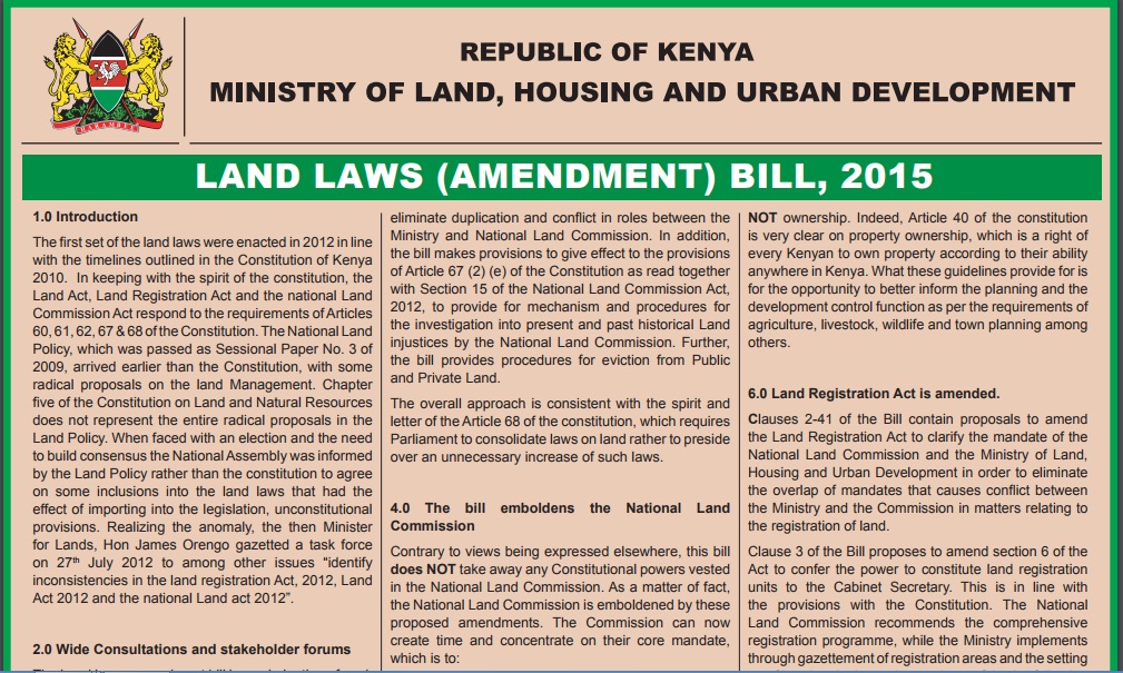
Land laws amendment bills: a practitioner’s perspective on the land bills

Journal Articles & Books
August, 2014
Kenya

The first set of the land laws were enacted in 2012 in line with the timelines outlined in the Constitution of Kenya 2010. In keeping with the spirit of the constitution, the Land Act, Land Registration Act and the national Land Commission Act respond to the requirements of Articles 60, 61, 62, 67 & 68 of the Constitution. The National Land Policy, which was passed as Sessional Paper No. 3 of 2009, arrived earlier than the Constitution, with some radical proposals on the land Management.