page search

Issuescadastral administrationLandLibrary Resource
Displaying 73 - 84 of 94

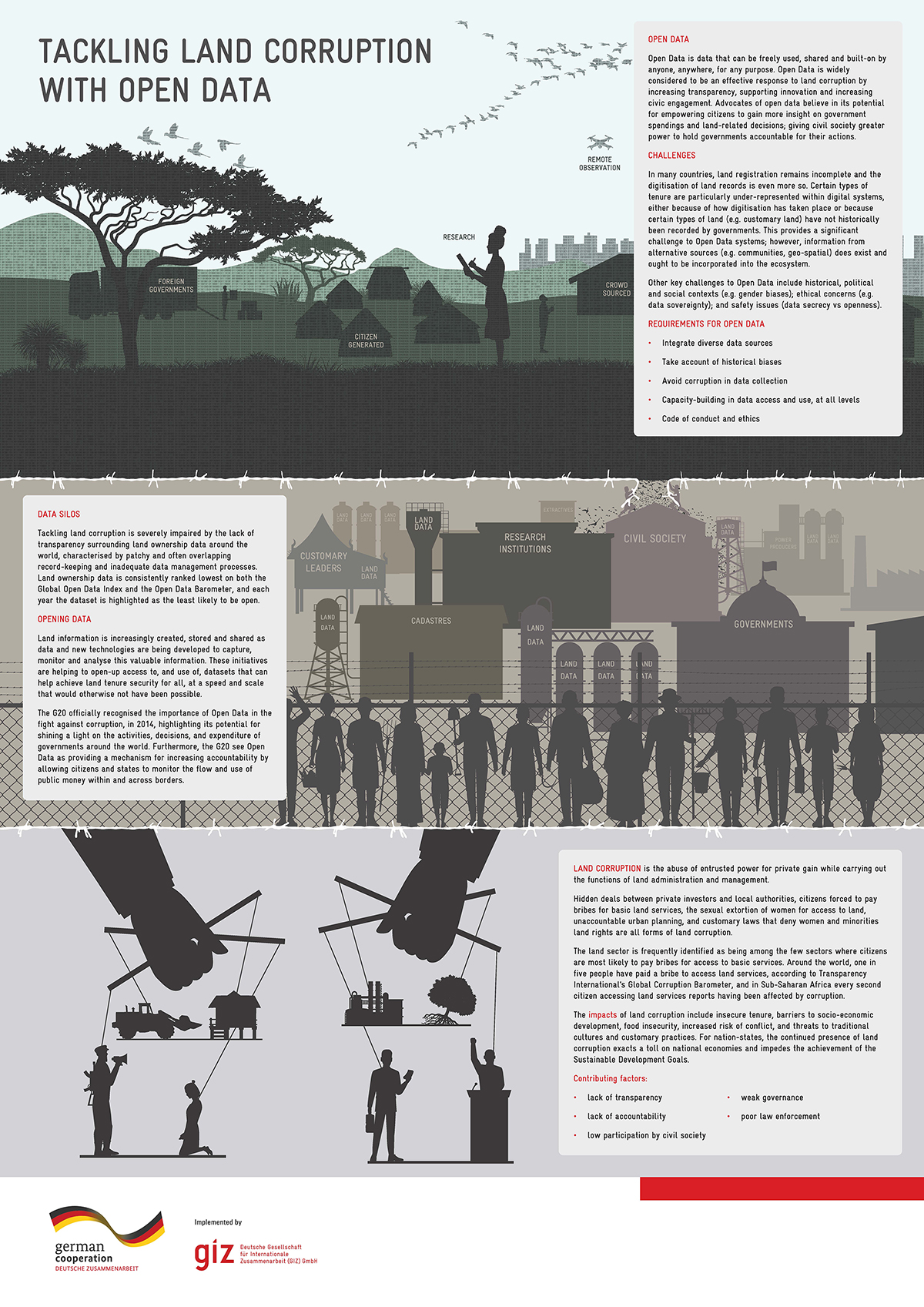
Poster: Tackling Land Corruption with Open Data

Training Resources & Tools
November, 2020
Global

Open Data is data that can be freely used, shared and built-on by anyone, anywhere, for any purpose. Open Data is widely considered to be an effective response to land corruption by increasing transparency, supporting innovation and increasing civic engagement. Advocates of open data believe in its potential for empowering citizens to gain more insight on government spendings and land-related decisions; giving civil society greater power to hold governments accountable for their actions.

A proposition to solve the land cadaster system in Brazil: the role of CNIR and a new institutionalization

Conference Papers & Reports
February, 2016
Latin America and the Caribbean
South America
Brazil

Brazil has, on the one hand, strong institutions in various areas, improved social situation and, on the other, the rural land situation is still very precarious, with basic unresolved questions, such as for example, knowledge of what is public and private land, due to the absence of cadaster. The legislation moved forward in an attempt to link the cadasters of INCRA, the Internal Revenue Service, with information from the Registry of Real Estate with the enactment of Law No. 10,267 / 2001, creating the National Register of Rural Properties – CNIR.

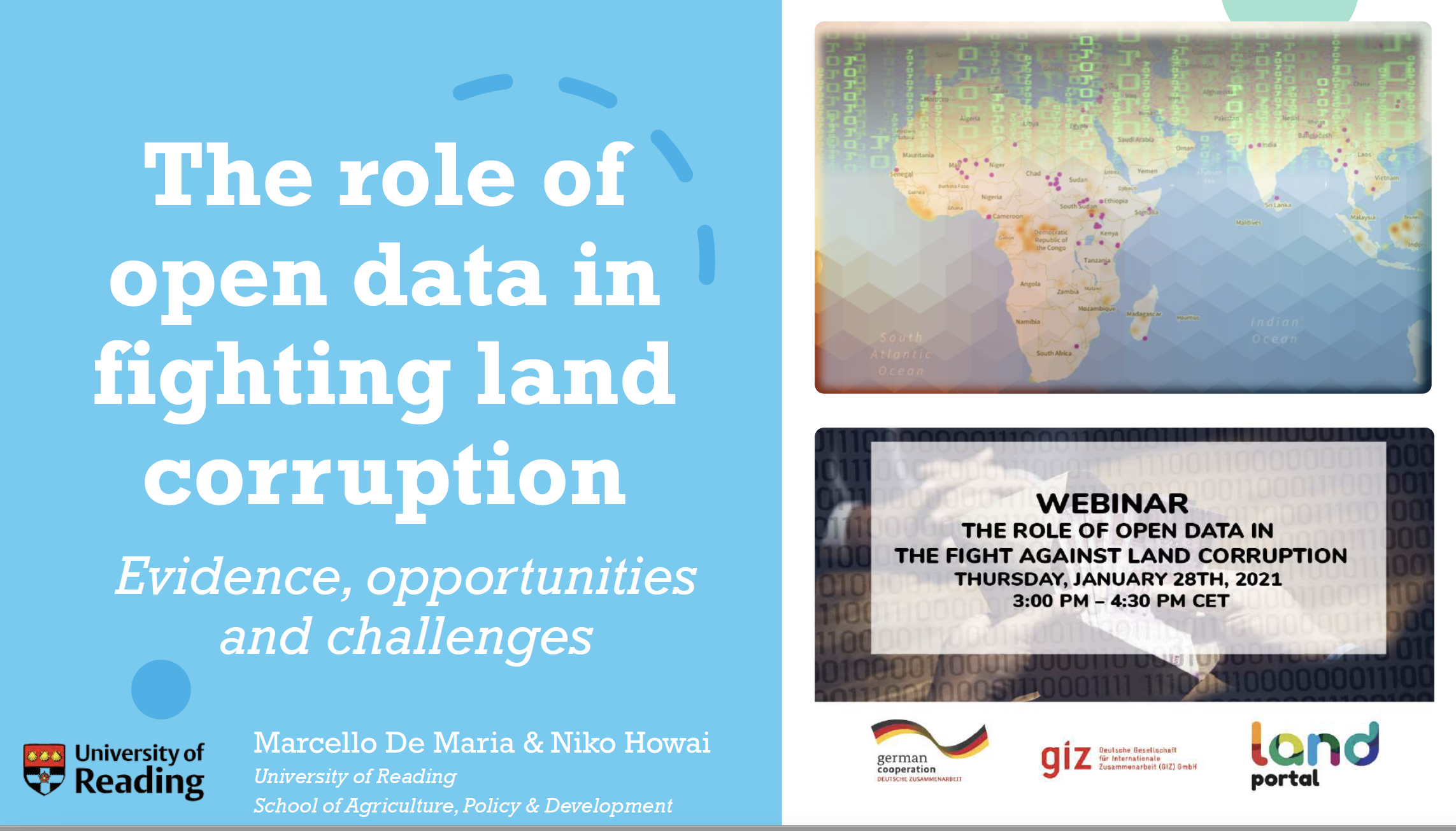
The role of open data in fighting land corruption

Institutional & promotional materials
January, 2021
Global

This is the presentation of Dr.  Marcello De Maria, Postdoctoral Researcher at the School of Agriculture Policy and Development at the University of Reading during the webinar on the Role of Open Data in the Fight against Land Corruption on January 28th, 2021. 

The analysis revealed overwhelming support for the use of open data as an anticorruption tool in the land sector, but it also found strong evidence for the existence of a high degree of untapped potential.

The role of open data in fighting land corruption

Reports & Research
December, 2020
Global

The rapid progress in digital information and communication technologies  (ICTs) comes with both fresh opportunities and new challenges for different sectors and actors adopting the new solutions that become available over time. Since the mid-2000s, the global land governance community has piloted a series of open data and transparency initiatives largely based on such digital innovations, aiming at increasing accountability and counteracting corruption in the land sector, both at the local and global level.

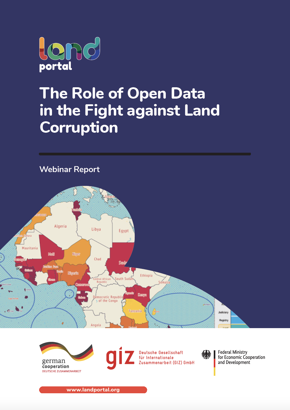
The Role of Open Data in the Fight against Land Corruption

Reports & Research
February, 2021
Global

Opening up land-related administrative data, combining it with data from other sources  and processing and making this data available as easily accessible information for women and men equally could be a means to counteracting land corruption in land management, land administration and land allocation. But does open data and enhanced data transparency indeed help to counteract land corruption?

Land Matters II

Reports & Research
March, 2021
Africa
Eastern Africa
Uganda

Improvement of Land Governance in Uganda (ILGU) is a project implemented by the German International Cooperation (GIZ), seeking to increase productivity of small-scale farmers on private Mailo land in Central Uganda, co-financed by the European Union and German Government through the German Federal Ministry for
Economic Cooperation and Development (BMZ).

Good Practice

Institutional & promotional materials
October, 2021
Asia
South-Eastern Asia
Laos

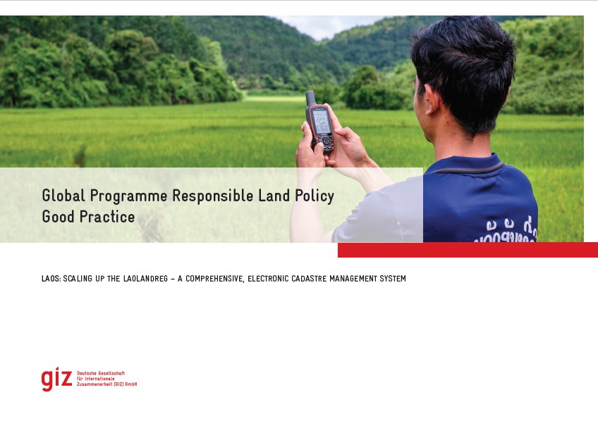
The Global Programme 'Responsible Land Policy' (GPRLP) is part of the Special Initiative 'One World, No Hunger' of the German Federal Ministry for Economic Cooperation and Development (BMZ), which aims to reduce extreme poverty and hunger.

In Laos, the ‘Enhanced Land Tenure Security Project’ (ELTeS) supports five provinces in Northern Laos in securing land user and land ownership rights. The project has supported the expansion of the use of a comprehensive, electronic and user-friendly cadastre management system, the so-called ‘LaoLandReg’ (LLReg) in all provinces of Lao PDR.

Weak Land Governance, Fraud and Corruption: Fertile Ground for Land Grabbing

Reports & Research
November, 2021
Brazil

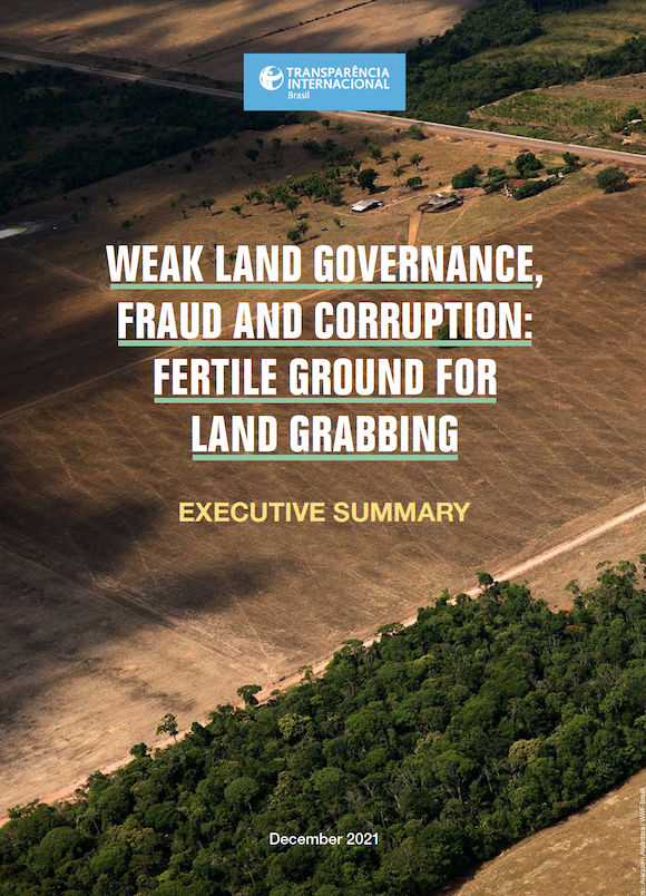
Fraud and corruption are the main enabling mechanisms for land abuses in Brazil, guaranteeing impunity for land grabbers and other public and private agents involved in these schemes. This is what is evidenced in the research report, “Weak land governance, fraud and corruption: fertile ground for land grabbing,” which systematizes for the first time the relationship between these issues. Thereby, the study seeks to understand precisely why and how corruption and fraud associated with land grabbing occur.  

The National Land Records Modernization Programme (NLRMP); Guidelines, Technical Manuals and MIS 2008-09

Manuals & Guidelines
November, 2008
India

For modernization of land records system in the country, a modified programme, viz., the National Land Records Modernization Programme (NLRMP) has been formulated by merging two Centrally-sponsored schemes of Computerization of Land Records (CLR) and Strengthening of Revenue Administration and Updating of Land Records (SRA&ULR). The NLRMP was approved by the Cabinet on 21.08.2008.

Best Practices in Digital India Land Records Modernization Programme (DILRMP)

Reports & Research
June, 2020
India

India is one of the fastest growing economies in the world, but its growth potential can be further enhanced by improving the land governance system in the country. The manual system of maintenance and updation of land records practiced earlier resulted in poor and outdated land records. As a result, nearly two-thirds of all pending cases in Indian courts were related to property disputes. Millions of Indians could not use their principal asset as collateral to borrow from the former financial system. The poor suffer the most. A large proportion of government land lied unused.

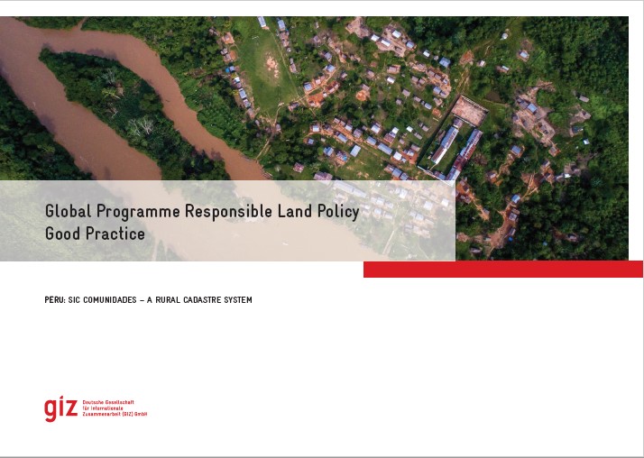
Good Practice Peru: SIC Comunidades - a Rural Cadastre System

Institutional & promotional materials
November, 2021
Latin America and the Caribbean
South America
Peru

The Global Programme 'Responsible Land Policy' (GPRLP) is part of the Special Initiative 'One World, No Hunger' of the German Federal Ministry for Economic Cooperation and Development (BMZ), which aims to reduce extreme poverty and hunger.


In Peru, ProTierras Comunales (PTC), as part of the Global Programme, aims to improve the access to land and natural resources for native communities in the Peruvian Amazon, in the regions Ucayali and San Martín. A functional and regularly updated digital cadastre system was created to improve the land titling system.


State of Land Information in Botswana

Reports & Research
July, 2023
Botswana

This State of Land Information (SOLI) report is an analysis of the current state of land data in Botswana, assessing the availability of land information and the compliance of this information with open data standards. 

The aim of this report is to serve as a diagnostic for the land information ecosystem in Botswana and enable targeted interventions for improved information management.