page search

Issuescadastral administrationLandLibrary Resource
Displaying 61 - 72 of 94

Tech and Transparency: democratising data and empowering communities with cutting-edge technologies

Reports & Research
July, 2019
Tanzania
Jamaica
Global

lack of transparency in the land and property sector prevents individuals, communities and governments from unlocking the value of the property as an asset, and undermines policies and legal frameworks that aim to provide land tenure security, potentially leading to a misallocation of rights. In fact, land governance is ranked among the sectors in which people are most likely to pay bribes for access to services, according to Transparency International’s Global Corruption Barometer.

Options for Securing Tenure and Documenting Land Rights in Mozambique: A Land Policy & Practice Brief

Policy Papers & Briefs
February, 2020
Eastern Africa
Mozambique

This Briefing Paper is based on the outcomes and lessons from projects recently completed in Mozambique, funded by DFID’s LEGEND programme, wider analysis conducted by that programme, and the knowledge and practical experience of the authors. The briefing is a summary of a longer Policy & Practice Paper by Norfolk, S., Quan, J. & D. Mullins (2020), “Land Policy and Practice in Mozambique: Options for Securing Tenure and Documenting Land Rights”.

The Fit for Purpose Land Administration Approach of RELAPU

Training Resources & Tools
December, 2019
Africa
Sub-Saharan Africa
Eastern Africa
Uganda

Uganda   has  been  struggling  to  maintain   a conventional (European-type) land administration system for a long time  but has faced many  challenges   including  lack of funding, inadequate skill force and long- winded procedures. Up to present, the country has only managed to record less than 20 per cent of the land rights. Similar circumstances can be found in many countries in the world. An often-cited estimate indicates that seventy percent of the world´s population is lacking security of tenure.

After 200 Years, Why is Indonesia's Cadastral System Still Incomplete?

Policy Papers & Briefs
January, 2016
Indonesia

This paper discusses Indonesia’s experience with establishing a uniform cadastral system in rural areas since the idea was first mooted in the early 19th century. Until 1961, a formal cadastre that identified, measured, registered and certified land titles existed only in urban areas. A cadastre for rural land did not start until after the 1960 Agrarian Law. Until then, the village-based land tax registers acted as a substitute cadastral register in areas subject to land tax.

Malaysian Land Administration Domain Model Country Profile

Peer-reviewed publication
July, 2015
Malaysia

Land administration is a process of recording and disseminating information about the association between people and land. To administer land matters in Malaysia, the Department of Surveying and Mapping Malaysia uses eKadaster and Land Office has eTanah which are different in e-Systems. Currently, Malaysia does not have a standard model for land administration and standardisation is one of the important aspects in a land administration process. This paper proposed a country profile model using international standards based on Land Administration Domain Model.

A Preliminary Study on The Formation of Land Legislation and Cadastre System in Sarawak, Malaysia

Peer-reviewed publication
April, 2019
Malaysia

Recent decades have witnessed a perceptible impact of land policy and cadastre on the urbanisation around the globe. Land legislation and cadastre system are the tools and mechanisms in order to achieve the objectives of land policy in delivering sustainable development. According to the Federal Constitution of Malaysia, article 74 empowers the State Legislative Assemblies to enact laws for the matters under the state list while land matters are one of the subjects under the list.

Legal Coordinated Cadastres

Conference Papers & Reports
September, 2006
Singapore

The field of cadastre holds an inherent complexity much based on its interdisciplinary characteristics and the national uniqueness of each cadastral system. In addition, some cadastral terminology is vague or ambiguous, which is why omission of the explicit sense and context of a particular term may bring obscurity to international comparisons and analyses. The concept legal coordinated cadastre (and kindred expressions), occasionally mentioned in connection with visions and plans of cadastral modernisation, is discussed here in order to clarify possible meanings and implications.

Cadastral maps as a basis for developing street maps: examples from Australia and Brunei

Conference Papers & Reports
October, 2011
Brunei Darussalam
Australia

Cadastral maps can be used as an effective initial set of data for new street maps in particular, and any type of large scale map project in general. This is due to a) a high degree of currency and accuracy of the digital cadastral database (DCDB); b) DCDB’s overall high level of reliability in terms of completeness; and c) the availability of DCDB to the public. It is within the context of these three notable features that the Australian and Bruneian experiences with DCDB are examined.

A Study on the Improvement of Cadastral System in Mongolia -Focused on National Land Information System

Peer-reviewed publication
September, 2015
Mongolia

National land information system (NLIS) is an essential part of the Mongolian land reform. NLIS is a web based and centralized system which covers administration of cadastral database all over the country among land departments. Current ongoing NLIS implementation is vital to improve the cadastral system in Mongolia. This study is intended to define existing problems in current Mongolian cadastral system and propose administrative institutional and systematic implementation through NLIS.

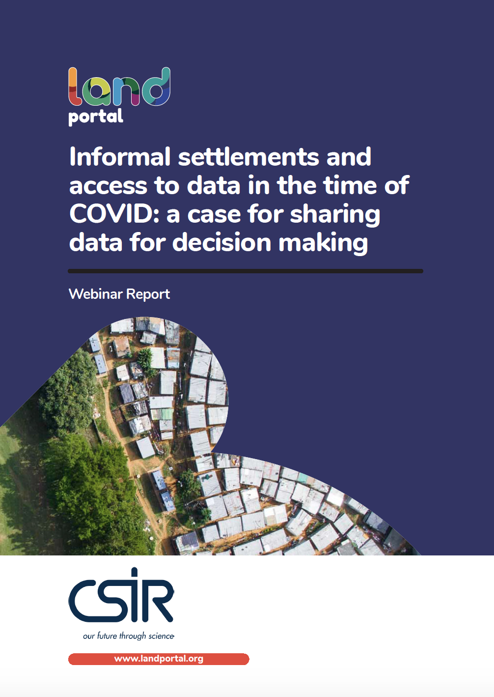
Informal settlements and access to data in the time of COVID: a case for sharing data for decision making

Reports & Research
October, 2020
Southern Africa

The spread of COVID-19 in South Africa and other countries in the region has again brought to the fore the fact that very dense, under-serviced, mostly informal, settlements are not healthy places to live. They are also places where the spread of a disease is difficult to prevent or manage.

The kind of emergency response that was required to address the imminent spread of COVID-19 highlighted the widespread vulnerability of the poorest, compounded by highly unequal access to services and ongoing unhealthy living conditions.

Land Administration System In Pakistan – Current Situation And Stakeholders’ Perception

Conference Papers & Reports
March, 2010
Pakistan

The current land administration system in Pakistan aims at land revenue assessment and tax collection for the fiscal purposes. This system is organised or structured on the traditional land registers and cadastral maps in paper formats, and their maintenance is mainly dependent on the hard works of the local land administrator so called “Patwari” at the grass-root level within his jurisdiction.