Aller au contenu principal

page search

Issuesutilisation des terresLandLibrary Resource
There are 9, 789 content items of different types and languages related to utilisation des terres on the Land Portal.
Displaying 3325 - 3336 of 4598

Relevance of the World Social Forum to the Kenyan Situation

Policy Papers & Briefs
Janvier, 2007
Kenya

The World Social Forum in Nairobi in January 2007 was a timely New Year rallying event for Kenyans to revisit the fundamental principles for building a democratic and sustainable society as we prepare for December 2007 elections.The current organizing principles of the institutions that govern us in Kenya are narrow and serve the few at the expense of the many millions of Kenyans that live in abject poverty. Yet, from all corners of the country it is acknowledged that it is within our collective ability to create a healthy and sustainable society that serves and work for all

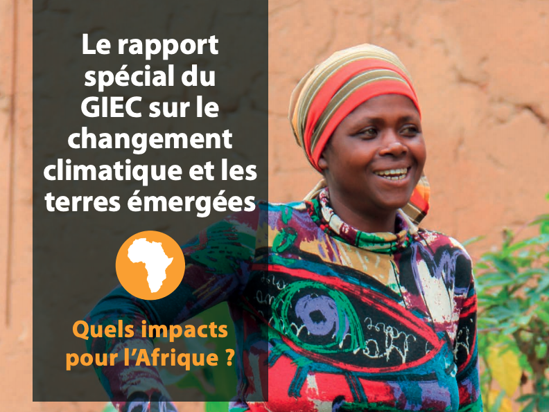
Rapport du GIEC sur le changement climatique et les terres émergées : quels impacts pour l’Afrique ?

Reports & Research
Mars, 2020
Afrique

Le Groupe d’experts intergouvernemental sur l’évolution du climat (GIEC) a publié Le changement climatique et les terres émergées, un rapport spécial du GIEC sur le changement climatique, la désertification, la dégradation des terres, la gestion durable des terres, la sécurité alimentaire et les flux de gaz à effet de serre dans les écosystèmes terrestres en 2019 (www.ipcc.ch/srccl). Dans ce document, nous ferons référence au rapport du GIEC sous le nom de Rapport spécial sur le changement climatique et les terres émergées.

Aboveground Biomass Distribution in a Multi-Use Savannah Landscape in Southeastern Kenya: Impact of Land Use and Fences

Peer-reviewed publication
Septembre, 2020
Kenya
Norvège

Savannahs provide valuable ecosystem services and contribute to continental and global carbon budgets. In addition, savannahs exhibit multiple land uses, e.g., wildlife conservation, pastoralism, and crop farming. Despite their importance, the effect of land use on woody aboveground biomass (AGB) in savannahs is understudied. Furthermore, fences used to reduce human–wildlife conflicts may affect AGB patterns. We assessed AGB densities and patterns, and the effect of land use and fences on AGB in a multi-use savannah landscape in southeastern Kenya.

Global and Local Modeling of Land Use Change in the Border Cities of Laredo, Texas, USA and Nuevo Laredo, Tamaulipas, Mexico: A Comparative Analysis

Peer-reviewed publication
Septembre, 2020
Mexique
États-Unis d'Amérique
Norvège
Espagne
Global

This paper estimates global logistic regression and logistic geographically weighted regression (GWR) models of urban growth in the adjacent border cities of Laredo, Texas in the United States and Nuevo Laredo, Tamaulipas in Mexico, for two time periods from 1985 to 2014. Historical land use and land cover patterns were monitored through Landsat imagery from the United States Geological Survey to identify instances of urban growth through land type change. Data on socioeconomic variables related to urban growth were collected from various sources and used as independent variables.

Towards a Walkable City: Principal Component Analysis for Defining Sub-Centralities in the Santiago Metropolitan Area

Peer-reviewed publication
Septembre, 2020
Chili

This article presents a methodology for evaluating the potential for an urban area to become a 15-min city based on its existing essential urban functions. To elaborate this methodology, the research focused on the Metropolitan Area of Santiago de Chile, by identifying 28 urban functions and applying principal component analysis to review how these georeferenced variables are grouped into synthetic components that illustrate the walkability of each block concerning access to these functions.

Urbanization and Increasing Flood Risk in the Northern Coast of Central Java—Indonesia: An Assessment towards Better Land Use Policy and Flood Management

Peer-reviewed publication
Septembre, 2020
Indonésie

This study explores urbanization and flood events in the northern coast of Central Java with river basin as its unit of analysis. Two types of analysis were applied (i.e., spatial data and non-spatial data analysis) at four river basin areas in Central Java—Indonesia. The spatial analysis is focused on the assessment of LULC change in 2009–2018 based on Landsat Imagery. The non-spatial data (i.e., rural-urban classification and flood events) were overlaid with results of spatial data analyses.

Land Use/Land Cover Changes and the Relationship with Land Surface Temperature Using Landsat and MODIS Imageries in Cameron Highlands, Malaysia

Peer-reviewed publication
Septembre, 2020
États-Unis d'Amérique
Malaisie
Norvège

Mountainous regions are more sensitive to climatic condition changes and are susceptible to recent increases in temperature. Due to urbanization and land use/land cover (LULC) issues, Cameron Highlands has been impacted by rising land surface temperature (LST) variation. Thus, this study was carried out to explore the impact of the LULC change on LST in the Cameron Highlands from 2009 to 2019 using remote sensing images acquired from Landsat 7 ETM+, Landsat 8 Operational Land Imager (OLI/TIRS), and Moderate Resolution Imaging Spectroradiometer (MODIS) 11A Thermal sensors.

Effect of Complex Road Networks on Intensive Land Use in China’s Beijing-Tianjin-Hebei Urban Agglomeration

Peer-reviewed publication
Décembre, 2020
Chine
Fédération de Russie
États-Unis d'Amérique

Coupled with rapid urbanization and urban expansion, the spatial relationship between transportation development and land use has gained growing interest among researchers and policy makers. In this paper, a complex network model and land use intensity assessment were integrated into a spatial econometric model to explore the spatial spillover effect of the road network on intensive land use patterns in China’s Beijing–Tianjin–Hebei (BTH) urban agglomeration.

Integrated farm management for sustainable agriculture: Lessons for knowledge exchange and policy

Peer-reviewed publication
Janvier, 2019
Royaume-Uni
États-Unis d'Amérique
Europe

As a response to the environmentally and socially destructive practices of post-war mechanization and intensification, the concept of sustainable agriculture has become prominent in research, policy, and practice. Sustainable agriculture aims to balance the economic, environmental, and social aspects of farming, creating a resilient farming system in the long-term. Over the last few decades, various concepts have been used in research and policy to encourage the adoption of sustainable practices.

The impact of smallholder farmers’ participation in avocado export markets on the labor market, farm yields, sales prices, and incomes in Kenya

Peer-reviewed publication
Octobre, 2019
Kenya

Smallholder producers in sub-Saharan Africa are often unable integrate into markets and access high-value opportunities by effectively participating in global chains for high-value fresh produce. Using data from a survey of large avocado farmers in Kenya, this study examines the determinants and impacts of smallholder-producer participation in avocado export markets on labor inputs, farm yields, sales prices, and incomes, using a switching regression framework to control for selection effects.

Towards productive landscapes: Trade-offs in tree-cover and income across a matrix of smallholder agricultural land-use systems

Peer-reviewed publication
Décembre, 2016
Bangladesh
Indonésie

One of the main causes of tropical forest loss is conversion to agriculture, which is constantly increasing as a dominant land cover in the tropics. The loss of forests greatly affects biodiversity and ecosystem services. This paper assesses the economic return from increasing tree cover in agricultural landscapes in two tropical locations, West Java, Indonesia and eastern Bangladesh. Agroforestry systems are compared with subsistence seasonal food-crop-based agricultural systems.

Does Urban planning affect urban growth pattern? A case study of Shenzhen, China

Peer-reviewed publication
Janvier, 2021
États-Unis d'Amérique
Chine
Fédération de Russie

It is essential to understand how urban plans affect urban growth patterns in order to improve current urban planning and management systems. Few studies have been conducted to analyse urban growth patterns of Shenzhen, an international megacity located in southern China, but none of them revealed the relationships between urban planning and urban growth patterns. This study explores the effects of urban master plans on urban growth patterns in different plan periods in Shenzhen. We first quantified the urban growth patterns comparing pixel- and patch-based methods.