Community / Land projects / Land Titles for Indigenous Communities in Peru
Land Titles for Indigenous Communities in Peru
€5795000
11/15 - 10/21
Completed
Implementing Organisations
Donors
Data Providers
General
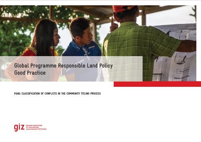
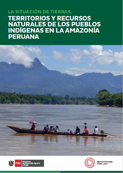
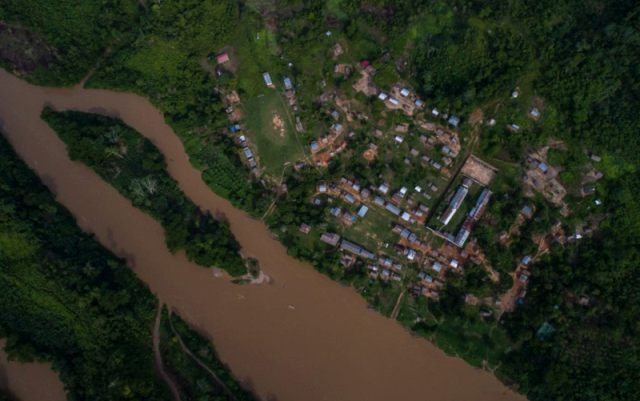
The Peruvian Amazon region is home to more than 50 indigenous peoples living in almost 2,270 communities. Around 30% of these communities – 680 – still have no collective land titles (government data 3/2020). This legal uncertainty causes disputes over land, exploitation of natural resources and growing pressure on indigenous territories as a result of infrastructure and industry projects and the influx of settlers from other parts of Peru. Over the decade until 2015, virtually no collective land titles were granted to indigenous communities. The reasons include a lack of clarity over responsibilities, inadequate capacity and budget limitations. The governing role for land titling was transferred back to the Ministry of Agriculture and Irrigation (MINAGRI) in 2014, but regional government agencies remain in charge of the day to day implementation. Since late 2015, German development cooperation − in coordination with other international actors − has been addressing the need for standardised databases, simpler procedures for granting titles, guidelines on the involvement of indigenous peoples and communities, and dispute resolution strategies, as well as capacity development and adequate budgets.
Activities in Peru
The project supports the granting of land titles to indigenous communities in the Ucayali and San Martín regions and improvements in processes at national level. In field of activity 1, the project is advising MINAGRI and regional agencies on drawing up and improving procedures for granting land titles. It is also supporting further development of the statutory framework for collective land rights, including procedures for preventing and mediating in land disputes. Activities in field of activity 2 are strengthening the national- and regional-level participation of civil society, especially indigenous organizations, in granting land titles to indigenous communities All project activities focus particularly on the rights and concerns of indigenous women who play an important role in ensuring food security but are often disadvantaged in terms of access to land. Impact at two interconnected levels Guaranteeing the land rights of indigenous peoples requires reliable cadastral information.
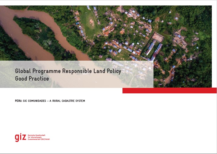
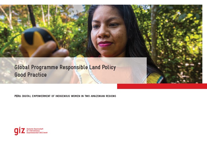
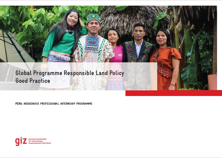
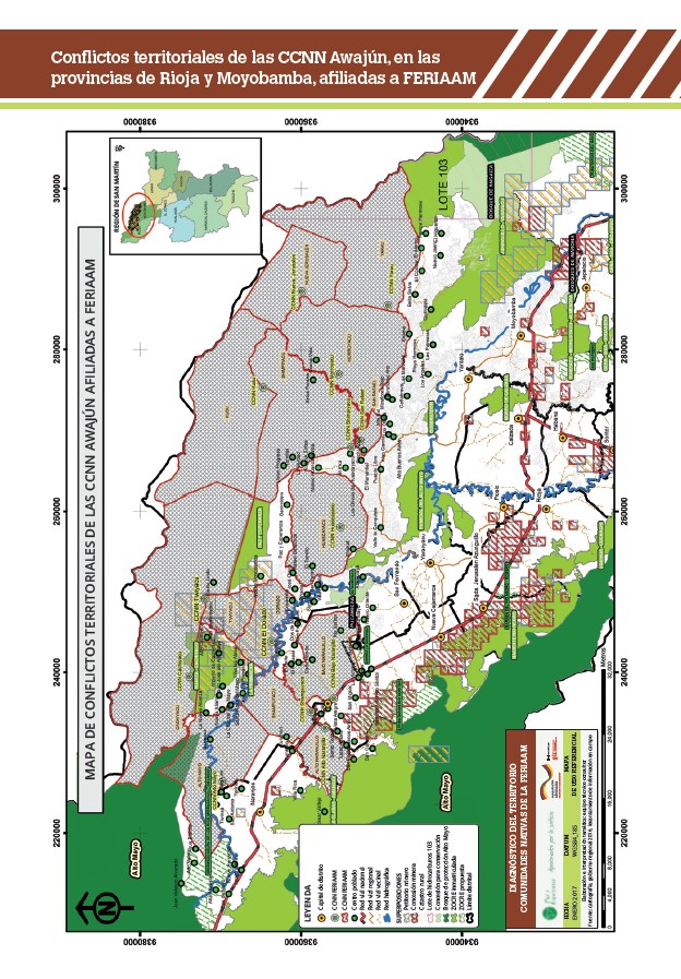
When the project started, cadastral information was only available in outdated Excel files (national level) and insufficiently organized physical files (regional level). To address this situation, the project applied a multilevel approach and supported its partners in the development and consolidation of two complementary digital cadaster systems. At regional level, since 2016 young indigenous professionals worked as project interns for 6-12 months in the systematization and digitalization of approx. 250 community files in both regions. This initiative also improved the technical skills and employability of these young professionals. At national level, MINAGRI launched two digital cadaster systems in 2018 which had been developed with project support. The Cadastral System for Rural Properties (SICAR) is a modern tool for online rural cadaster data updating which focuses on individual (usually non-indigenous) rural properties. Its main innovations are the interoperability with diverse governmental information systems (e.g. on natural protected areas, production forests, mining and oil concessions) and a public viewer to visualize individual rural properties, indigenous communities, concessions etc. The SICAR consolidates the information registered by the 25 regional governments of Peru and is accessible to public users. The transparency it creates helps to prevent land conflicts with indigenous communities. The second system called SIC-Comunidades (Cadastral System for Communities) for the first time provides information on peasant and native communities of the Andes and the Amazon, respectively. It is an innovative web application (also with a map viewer) which allows to follow and monitor the - often lengthy - legal recognition and collective titling procedures. To protect indigenous rights, it can currently only be accessed by registered users, mainly the regional governments but also the indigenous umbrella organization. The work done by the indigenous interns since 2016 prepared the ground for consultancies to upload cadastral information on all (San Martín) or a large part (Ucayali) of native communities into the SIC-Comunidades, an important contribution to enhance their tenure security.
Resources
Here on Landportal, the GPRLP shares its knowledge products, which come directly from the projects in the countries. These include good practices, impact stories, as well as manuals and guidebooks on topics like tenure security, dispute resolution and implementation strategies. You can find all our resources from Peru down below!

