Land-use change has affected ‘almost a third’ of world’s terrain since 1960

17 May 2021
Current estimates of land-use change may be capturing only one-quarter of its true extent across the world, new research shows.
Current estimates of land-use change may be capturing only one-quarter of its true extent across the world, new research shows.

Documented as part of the World Bank study Land Policy Reform for Agricultural Transformation in India by NRMC Centre for Land Governance, this series of case studies analyzes recent interventions by government and non-government organizations to secure land tenure rights for poor farmers—especially the landless, tenants and women, resulting in increased access to agricultural land, markets, finance, and services. These seven cases span formal and customary tenure regimes from six states of India, from Kerala in the South to Manipur in North East India.
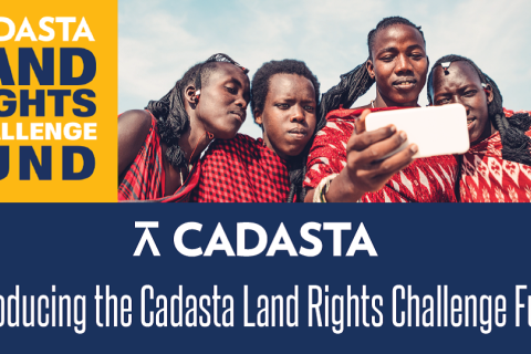
Cadasta Foundation has launched its new Global Land Rights Challenge Fund to help partners better leverage Cadasta’s innovative tools and services to document land and resource rights worldwide.
The Land Rights Challenge Fund will feature multiple grant programs through 2021, each designed to advance land rights and tenure security for vulnerable populations around the world.

“It will be fun to develop land-use planning, if we do it together.” This was a comment from one of the local land managers during 30 online workshops run by PCC to introduce new Gender Guidelines for local land management in Mongolia.

In Dr. Tajamul Haque’s untimely demise on 2nd May, India has lost a scholar policy maker, a champion of the causes of farmers, tribal, an advocate of land rights for women and dalits and a messiah for marginal farmers and tenants. With his departure, farmers lost a tireless, fearless advocate at the echelon of power corridors, while for ministers and secretaries, gone now is a highly knowledgeable yet an unassuming pragmatic advisor.
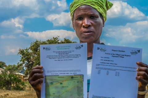
Secure land and resource rights are critical for household wellbeing and livelihoods in many developing countries, where land is the principal asset for the rural poor.
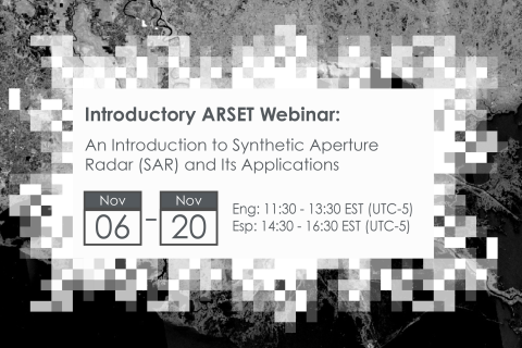
Synthetic Aperture Radar (SAR) has the capability to observe the Earth's surface both day and night and through most weather conditions, making it an ideal sensor to support a wide range of science and applications.
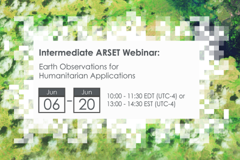
NASA’s Applied Remote Sensing Training Program (ARSET) has opened a new open, online webinar series: Earth Observations for Humanitarian Applications. Refugees, internally displaced people (IDPs), and other displaced populations are made more vulnerable to climate change impacts due to their socio-political marginalization. This three-part, intermediate training presents concrete strategies for mapping localized climate conditions with risks faced by refugee and IDP communities around the world.
The training will focus on flood risk assessments and specific challenges for assessing flood risk in refugee and IDP camps; gauging long-term heat stress in refugee camps and the challenges with decision making surrounding heat risk; and monitoring drought effects on agricultural landscapes in refugee settings using Earth observations (EO) to explore the correlations between anomalies in crop productivity and weather-based factors
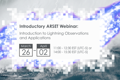
NASA’s Applied Remote Sensing Training Program (ARSET) has opened a new open, online webinar series: Introduction to Lightning Observations and Applications. This three-part, introductory training focuses on global and regional lightning data products that can be applied to disaster risk preparedness.
As the intensity and frequency of extreme weather events are likely to increase due to climate change impacts, lightning activity will likely increase as well, causing more power outages, increased risks of wildfire ignition, and increased numbers of injuries and fatalities. Therefore, information about lightning activity is critical for better preparedness against these disasters.
Global demand for timber, agricultural commodities, and extractives is a significant driver of deforestation worldwide. Transparent land-concessions data for these large-scale commercial activities are essential to understand drivers of forest loss, monitor environmental impacts of ongoing activities, and ensure efficient and sustainable allocation of land.