page search

Displaying 1 - 5 of 5

Soberanía: Unidad y solidaridad en la Amazonía

Reports & Research
July, 2015
Bolivia

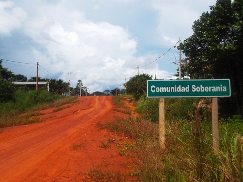
Un caso de ocupación de tierras y legalización, apelando a la soberanía nacional en frontera. Se encuentra en un contexto dicotómico, el poder central en una zona fronteriza lejana y la necesaria integración en dos economías, dos culturas, dos grupos de un territorio descuidado y olvidado por sus respectivos Estados. Por eso, se trata de un tema interesante de acceso a la tierra.

Large Scale Land Acquisitions for Investment in Kenya

Journal Articles & Books
Reports & Research
November, 2016
Kenya

Land acquisitions, either driven by foreign investments or domestic investment needs have continued to polarize opinions. When this research was proposed, it was premised on arguments by scholars Ruth Meinzen-Dick and Helen Markelova, who had analysed agricultural land deals, and argued that there were potentially two schools of thought about foreign acquisitions over agricultural land.

Land Conflicts in Kenya: Causes, Impacts, and Resolutions

Journal Articles & Books
Reports & Research
November, 2005
Africa
Kenya

Because of changes in some underlying factors, land is increasingly becoming a source of conflicts in Africa. We estimate the determinants of land conflicts and their impacts on input application in Kenya by using a recent survey of 899 rural households. We find that widows are about 13 percent more likely to experience pending land conflicts when their parcels are registered under the names of their deceased husbands than when titles are registered under their names.

Integration of Geospatial data of UAVs in Cadastral Management System and Regularization of Illegal Occupations in Informal Settlements

Peer-reviewed publication
December, 2020
Africa

Abstract: To avoid illegal occupation of people in areas where construction is forbidden and the development of informal settlements, municipal authorities must anticipate city planning. The implementation of layouts and cadastral plans, plays a broad range of uses in: taxation, land development, land registration, urban planning and design of infrastructure necessary to improve the living conditions of the population. This paper aims to demonstrate that, the integration of images of Unmanned Aerial Vehicles (UAVs) is an alternative solution to the production of cadastral maps.