Proportion of land that is degraded over total land area
Last updated on 1 February 2022
This indicator is currently classified as Tier I. The United Nations Convention to Combat Desertification (UNCCD) is the Custodian agency for this indicator. Food and Agriculture Organization of the United Nations (FAO) and the United Nations Environment Programme (UNEP) are partner agencies.
Unit of measure: Proportion of land that is degraded over total land area (%)
Why is this indicator important?
Food production, extractive industries, or the expansion of infrastructure increase pressure on arable lands, pastures, forestry, and other essential areas. In turn, land degradation has negative effects on ecosystems, farm yields, and the quantity and quality of water resources. As a consequence, food insecurity may rise and facilitate migration and urbanization.
To assess the extent of land degradation is important for tracking progress towards voluntary Land Degradation Neutrality (LDN) targets and for the development of plans of action to redress degradation, including through the conservation, sustainable management, rehabilitation and restoration of land resources.
How is the indicator measured and monitored?
According to the metadata document, the indicator uses a binary classification (degraded or not degraded) drawing on the three sub-indicators that assess trends in land cover, in land productivity, and in carbon stocks above and below ground. Any significant decrease or negative change in one of the three is considered to compromise land degradation. Land degradation is defined the reduction or loss of the biological or economic productivity and complexity of rain fed cropland, irrigated cropland, or range, pasture, forest and woodlands resulting from a combination of pressures, including land use and management practices. (UNCCD 1994, Article 1).
Since 2018, data is collected every four years through UNCCD’s national reporting and review process. Data sources include databases, maps, reports provided by ministries or agencies along with national statistical offices, as well as remote sensing, such Earth Observation data sources, that are disaggregated to national level. The Good Practices Guidance for SDG Indicator 15.3.1, version 2.0 provides a detail overview on monitoring and computation. The main limitations include the availability of historical time series and the, as of yet, often limited national capacities to process, interpret, and validate geospatial data.
By Anne Hennings, peer-reviewed by UNCCD.
Official indicator data
The proportion of land that is degraded draws on three sub-indicators: Land productivity, land cover, and soil organic carbon.
* Select "year" below to see the most recent data for more countries.
Other related indicators on Land Portal
In addition to the official indicator data, the following indicators provide information concerning land under organic agriculture and the enforcement of land use restrictions in rural areas.
| Indicator | Min-Max Number of years |
Countries / Obs | Min / Max Value |
|---|---|---|---|
| Agricultural area certified organic | |||
| Agriculture area under organic agric. | |||
| Restrictions regarding rural land use are enforced |
Land Degradation Neutrality for Water Security and Combatting Drought
As water is the most disruptive element in the ongoing climate crisis, how land is managed plays a major role in taming this disruption. This publication shows that avoiding, reducing and reversing land degradation can have positive long-term gains in water security.
Creating an Enabling Environment for Land Degradation Neutrality and its potential contribution to enhancing well-being, livelihoods and the environment
The Sustainable Development Goals (SDGs) adopted by the United Nations General Assembly in September 2015 include a target on land degradation neutrality (LDN) (SDG 15.3). Attaining and maintaining LDN requires addressing a land governance challenge to steer land management towards avoiding, reducing and reversing land degradation.
Satellite Earth Observations in Support Of The Sustainable Development Goals
This Handbook aims to explain how satellite Earth Observation (EO) are an essential tool in the development of the information and evidence required by many of the SDG Targets and Indicators.It has been prepared for national agencies, UN bodies and other SDG stakeholders working towards a collective implementation of the 2030 Agenda and towards a cost-effective response of countries to the SDG
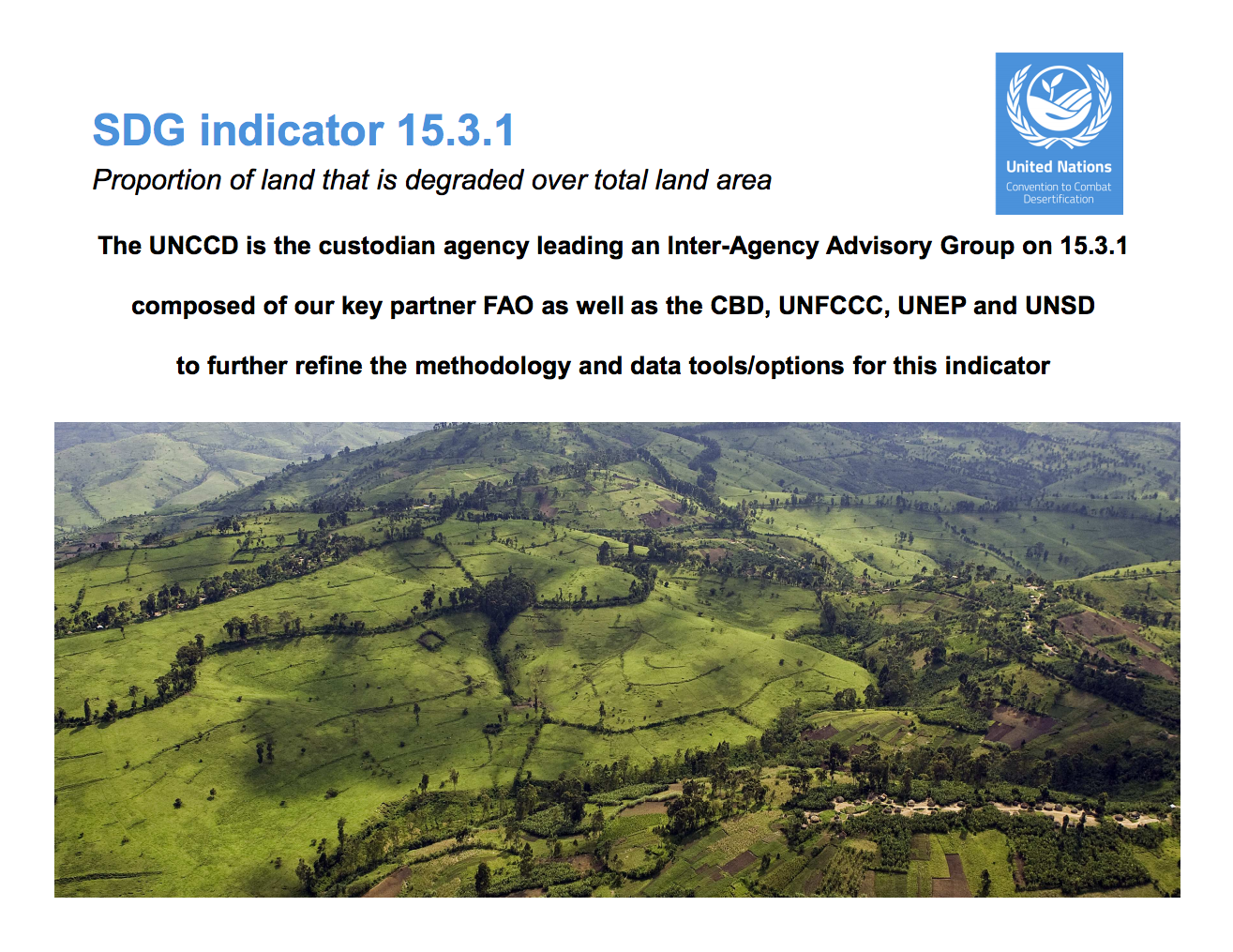
SDG indicator 15.3.1: Proportion of land that is degraded over total land area
The UNCCD is the custodian agency leading an Inter-Agency Advisory Group on 15.3.1 composed of our key partner FAO as well as the CBD, UNFCCC, UNEP and UNSD to further refine the methodology and data tools/options for this indicator.
GEF Land Degradation Linkage Study
The purpose of this report is to identify the results, and initial impact of the land degradation component of those linkage projects which encompass biodiversity, international waters, and climate change with land degradation.
Pagination
How Could Land Tenure Security Affect Conservation?
By Yuta Masuda and Brian E. Robinson
I’m sitting in a Mongolian yurt, listening to and trying to emulate Bataa’s* songs about love for the grasslands and the wide, treeless plains of the Mongolian Plateau. Our host sings with consuming passion. I might have brushed his enthusiasm off as a show two weeks ago. But after living and working in these grasslands, the feeling of freedom that comes from unobstructed, far-off distant horizon is infectious.
Land degradation and migration: Will restoring the land keep people at home?
This blog originally appeared on UNDP
16 Jun 2017 by Phemo Kgomotso, Regional Technical Specialist, Ecosystems and Biodiversity, UNDP Regional Service Centre for Africa
Would forced migration end, if people knew that they could survive and thrive in their homeland?
IV Fórum Brasileiro de Áreas Degradadas
Com intuito de promover conhecimentos e experiência desenvolvidas na recuperação e degradação ambiental nos diversos biomas brasileiros, o evento pretende contribuir com a difícil tarefa de restauração desses biomas.
Pagination
![]()

By 2030, combat desertification, restore degraded land and soil, including land affected by desertification, drought and floods, and strive to achieve a land degradation-neutral world
Indicator details
The Indicator is conceptually clear, has an internationally established and available methodology and standards, and that data is regularly produced by countries for at least 50 per cent of countries and of the population in every region where the indicator is relevant.
Key dates:


