Focal point
Location
The Food and Agriculture Organization of the United Nations leads international efforts to defeat hunger. Serving both developed and developing countries, FAO acts as a neutral forum where all nations meet as equals to negotiate agreements and debate policy. FAO is also a source of knowledge and information. We help developing countries and countries in transition modernize and improve agriculture, forestry and fisheries practices and ensure good nutrition for all. Since our founding in 1945, we have focused special attention on developing rural areas, home to 70 percent of the world's poor and hungry people.
Members:
Resources
Displaying 4776 - 4780 of 5073Land resources and production systems in agricultural land use planning in Botswana.
The prosperity of Botswana largely depends on its natural resources. As to the agricultural sector, poor utilization of land resources has until now resulted in low crop yields, poor livestock offtake rates, low rural household incomes and widespread degradation of soils and rangeland. Acknowledging these problems, the Botswana Government has recently adopted a series of policies to ensure that land resources are used in a sustainable manner.
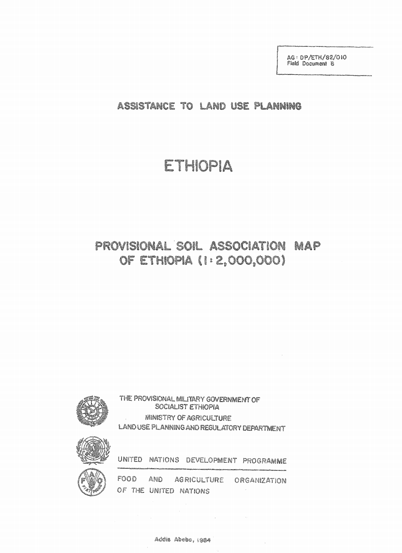
Assistance to Land Use Planning: Ethiopia. Provisional Soil Association Map of Ethiopia (1:2,000,000)
The 1: 2 000 000 Soil Associations map is based on
the Geomorphology and Soils map, at 1: 1 000 000 scals, prepared
by the FAO/UNDP Eth/78/003, Assistance to Land Use PlJ
Project in 1981 It incorporates some new information ob%,3 _
since the finalizing of the Geomorphology and soils map.
No-Tillage Farming for Sustainable Land Management: Lessons from the 2000 Brazil Study Tour
The Occasional Paper Series published by the FAO Investment Centre covers technical briefs, research treatises and particularly useful case studies.
Roads, land use, and deforestation: A spatial model applied to Belize
Rural roads promote economic development, but they also facilitate deforestation.
To explore this tradeoff, this article develops a spatially explicit model of land use
and estimates probabilities of alternative land uses as a function of land characteristics
and distance to market using a multinomial logit specification of this model.
Controls are incorporated for the endogeneity of road placement.
The model is applied to data for southern Belize, an area experiencing rapid
Land Resource Study of Hodeidah Green Belt Area.
In this report the results are presented from the soil survey carried out in the Green Belt area around Al-Hodeidah. This report covers the relevant parts of the Tihama coastal plain, including part of the wadi Siham alluvial plain. A soil map, land use map, vegetation map and physiographic map, all at a scale of 1 : 50.000, were prepared. The total area covered is approximately 15200 ha, situated in a half circle around Hodeidah city. The soils are in general homogeneous with little pedogenetic development, and variable degrees of salinity and sodium content.


