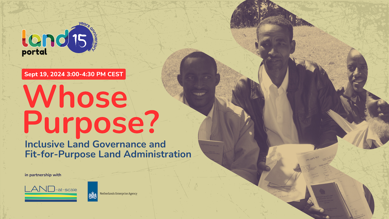
The webinar Inclusive Land Governance and Fit-for-Purpose Land Administration: Whose Purpose?, which took place on 19 September, 2024, explored how a people-centered and holistic approach can transform Fit-for-Purpose Land Administration (FFPLA) and ensure that land administration truly serves the needs of communities. The webinar, which was moderated by Imke Greven of the LAND-at-Scale Program Advisor at the Netherlands Enterprise Agency (RVO) gathered over 275 people.
The event featured the following speakers:
- Nisso Kaokamla, LAND-at-Scale Project Coordinator, Oxfam Chad
- Menare Royal Mabakeng, Lecturer, Namibia University of Science and Technology
- Maria Clara van der Hammen, Project Coordinator, Tropenbos Colombia
- Charl-Thom Bayer, Senior Land Information Specialist, Land Portal
Please see a brief recap of the full captivating conversation:
- What is the context of Fit-For-Purpose Land Administration?
Royal: Fit For Purpose Land Administration is a top-down land administration approach that focuses on creating partnerships , and developing capacity of land institutions, to improve land tenure security at scale. The approach emerged out of the gradual development of land administration as a field of practice. Generally, land administration was fixed in cadastral and land registration systems. Which were developed for providing information about types of land use, land value and land ownership. The design was based on cultures and judicial systems across regions in the world. Land Administration Systems works towards creating enabling infrastructure for implementing land policies and land management strategies in support of sustainable development. Over time developed countries established mature land institutions,protecting the land to people relationships. However, this was not possible for all countries , as some still faced weak land governance and insecurity of tenure. Technology advancements and the drive for sustainable development inspired the development of land tools to support improved tenure security. Such as the STDM, the continuum of land rights and responsible land governance(GLTN).
Out of this emerged the Fit-For-Purpose Land Administration.
- How can we ensure that FFPLA truly serves the needs and priorities of local communities?
Maria Clara: The first step is capacity building so that they understand what land administration is about, how it works so that they can not only be instruments in the application of technology but also propose their needs Communities have necessities related to land governance that are not only related to the needs of the state land administration but also internally, specially in the case of collective land titles such as Indigenous resguardos and AfroColombian collective territories. An example can be the way Arhuaco Indigenous Peoples of the Sierra Nevada have a need to receive information about the status of the lands they have acquired and want to convert into a collective title. Having all the information and comprehension helps communities to interact in an assertive manner with land institutions.
- What are the barriers to accessing land data and information, and how can these be overcome?
Tommy: It is important to separate out those issues that are outside of the FFPLA scope and those that are within the scope of FFPLA interventions. These include issues such as on access to technology - information and communications infrastructure, internet connectivity and penetration, digital literacy and capacity etc. While we cannot address these issues here, they need to be acknowledged.
Some of the barriers within the scope of FFPLA include not Using defined data standards, which reduces interoperability, usefulness and re-use of data. Furthermore, lack of local knowledge and mapping likely reduces the acknowledgement of local rights over land. This necessarily involves the democratic contestation of rights and benefits between the role of the state and that of the people. Thus data itself can become the instrument that shifts political power or entrenches political power. Finally, despite the fact that open data is not without limitation, lack of data rights and privacy protections for the vulnerable (both technical and legal) is another major barrier.
- What role can civil society organizations play in advocating for open and accessible land data?
Nisso: Civil society organizations can lobby governments to adopt transparent land policies, thereby reducing corruption in land management and can participate in discussions on land law reform to promote transparency, social justice and the protection of citizens' rights, particularly those of marginalized communities. Furthermore, community based organizations can raise awareness among vulnerable communities (farmers, indigenous peoples, etc.) on their land rights, enabling them to better understand land registration processes and exercise their rights. FInally, they can use technologies such as geographic information systems (GIS) and participatory mapping to collect and disseminate land information, particularly on community or unregistered land, and make it accessible.

