Passar para o conteúdo principal

page search

Issues Land & Climate Change related Event
Displaying 25 - 36 of 122

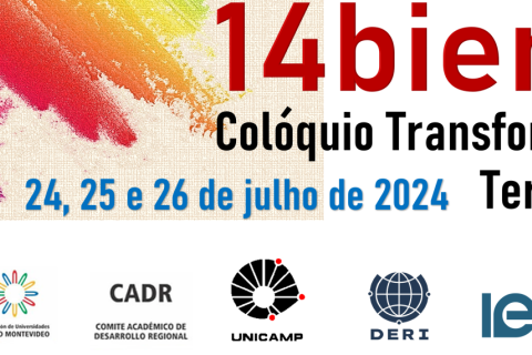
Chamada de trabalhos: XIV Bienal do Colóquio de Transformação Territorial

23 Julho 2024 - 25 Julho 2024
Campinas
Brazil

O Comitê Acadêmico para o Desenvolvimento Regional (CADR), pertencente à Associação de Universidades do Grupo de Montevidéu (AUGM), convida para a XIV Bienal do Colóquio de Transformação Territorial nos dias 24, 25 e 26 de julho de 2024, com o tema “Desafios territoriais diante das ameaças e possibilidades latino-americanas: estratégias para reduzir as injustiças socioambientais”, no Instituto de Economia da Universidade Estadual de Campinas (UNICAMP, Campinas, São Paulo, Brasil), em modalidade híbrida (presencial e remoto).

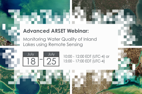
Monitoring Water Quality of Inland Lakes using Remote Sensing

17 Julho 2023 - 24 Julho 2023

NASA’s Applied Remote Sensing Training Program (ARSET) has opened a new open, online webinar series: Monitoring Water Quality of Inland Lakes using Remote Sensing. This advanced-level training will focus on using remote sensing observations from Landsat 8 and 9, Sentinel-2, and Sentinel-3 for assessing water quality parameters, including chlorophyll-a concentration, turbidity, and Total Suspended Solids (TSS) in inland lakes. This training will also highlight the importance of in situ measurements of these parameters, coincident with satellite observations, in developing methodologies for operational water quality monitoring.

2.º Congresso Internacional Fogo no Sistema Terrestre: humanidade e natureza – 4 a 8 de julho – Granada

03 Julho 2023 - 07 Julho 2023
Granada
Spain

O fogo é um componente essencial do Sistema Terrestre e é usado pelos seres humanos como caçadores e agricultores. No século XXI, o fogo está na vanguarda da gestão ambiental e é necessário descobrir o papel que o fogo deve desempenhar em nossa paisagem. O fEs2023 propõe uma conferência híbrida com cientistas, cidadãos e profissionais para compartilhar informações, ideias e metas para usar o fogo como uma ferramenta para alcançar a sustentabilidade.

Assessing the Impacts of Fires on Watershed Health

05 Julho 2023 - 12 Julho 2023

NASA’s Applied Remote Sensing Training Program (ARSET) has opened a new open, online webinar series: Assessing the Impacts of Fires on Watershed Health. This advanced-level, three-part training will focus on using remote sensing observations for monitoring post-fire impacts on watershed health. Specifically, this training will highlight uses of NASA Earth observations (EO) for pre-fire land cover mapping, watershed delineation and stream mapping, post-fire burn severity mapping, and pre- and post-fire riverine and freshwater water quality.

Application of NASA SPoRT-Land Information System (SPoRT-LIS) Soil Moisture Data for Drought

16 Maio 2023 - 30 Maio 2023

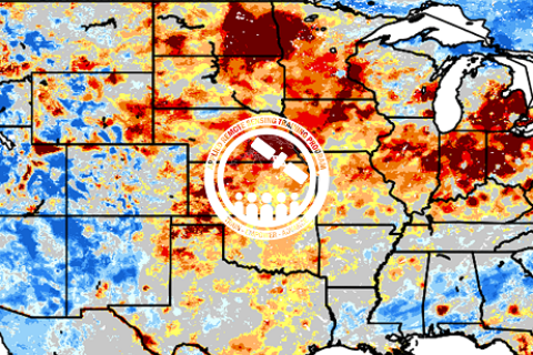
NASA’s Applied Remote Sensing Training Program (ARSET) has opened a new open, online webinar series: Application of NASA SPoRT-Land Information System (SPoRT-LIS) Soil Moisture Data for Drought. This 3-part webinar series is focused on the introduction of the NASA Land Information System (LIS) output of soil moisture at various depths for drought analysis and monitoring. Examples from operational applications as well as practice exercises (for using LIS data for drought monitoring) will be included in this course. Access to the SPoRT-LIS products via online viewer, in GIS formats, and GIS-based display tools, will also be included. Moreover, self-paced microlessons will be available to help users confirm their understanding and improve their skill via homework lessons between live sessions.

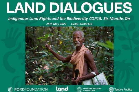
Direitos dos povos indígenas à terra e a COP15 da biodiversidade: seis meses depois

24 Maio 2023

Após duas semanas de negociações tensas, a recente Conferência das Nações Unidas sobre Biodiversidade COP15 terminou com um acordo histórico para orientar a ação global sobre a natureza até 2030. A Estrutura Global de Biodiversidade de Kunming-Montreal (GBF - sigla em inglês) inclui medidas concretas para interromper e reverter a perda da natureza, incluindo a proteção de 30% do planeta e 30% dos ecossistemas degradados até 2030.

Land Portal Foundation
Ford Foundation
Thomson Reuters Foundation
The Tenure Facility

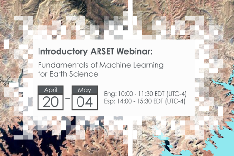
Fundamentals of Machine Learning for Earth Science

19 Abril 2023 - 03 Maio 2023

NASA’s Applied Remote Sensing Training Program (ARSET) has opened a new online introductory webinar series: Fundamentals of Machine Learning for Earth Science. This three-part training, presented in English and Spanish, is open to the public and will provide attendees an overview of machine learning in regards to Earth Science, and how to apply these algorithms and techniques to remote sensing data in a meaningful way. Attendees will also be provided with end-to-end case study examples for generating a simple random forest model for land cover classification from optical remote sensing. We will also present additional case studies to apply the presented workflows using additional NASA data.


O refúgio em disputa: reflexões sobre a proteção internacional e o Novo Pacto sobre Migração e Asilo na UE

19 Março 2023
Portugal

O objetivo desta apresentação é partilhar a análise da erosão da proteção internacional e da figura do refugiado, aprofundando-se nas práticas de controlo da mobilidade e de externalização da responsabilidade de proteger que se vão paulatinamente consolidando na União Europeia (UE).

Crop Mapping using Synthetic Aperture Radar (SAR) and Optical Remote Sensing

03 Abril 2023 - 12 Abril 2023

NASA’s Applied Remote Sensing Training Program (ARSET) has opened a new online advanced webinar series: Crop Mapping using Synthetic Aperture Radar (SAR) and Optical Remote Sensing. This three-part training, presented in English and Spanish, is open to the public and builds on previous ARSET agricultural trainings. Here we present more advanced radar remote sensing techniques using polarimetry and a canopy structure dynamic model to monitor crop growth. The training will also cover methods that use machine learning methods to classify crop type using a time series of Sentinel-1 & Sentinel-2 imagery. This series will include practical exercises using the Sentinel Application Platform (SNAP) and Python code written in Python Jupyter Notebooks, a web-based interactive development environment for scientific computing and machine learning.