Passar para o conteúdo principal

page search

Issuesordenamento urbanoLandLibrary Resource
Displaying 73 - 84 of 296

AN EVALUATION OF THE CADASTRAL SYSTEM IN KENYA AND A STRATEGY FOR ITS MODERNIZATION

Reports & Research
Julho, 2013
Quênia

The Cadastral system in Kenya was established in 1903 to support land alienation for the white settlers who had come into the country in the early part of the 20th Century. In the last hundred years, the system has remained more or less the same, where land records are kept in paper format and majority of operations are carried out on a manual basis. The lack of a modern cadastral system has contributed to problems in land administration in the country.

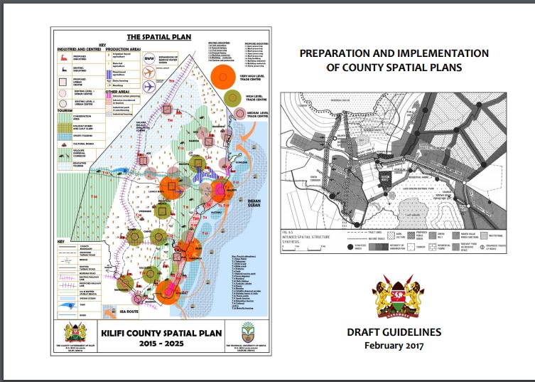
PREPARATION AND IMPLEMENTATION OF COUNTY SPATIAL PLANS

Manuals & Guidelines
Janeiro, 2017
Quênia

The Constitution of Kenya 2010 apportions responsibility of planning to both National and County governments. The County Government Act, 2012 obligates county governments to prepare and implement County Integrated Development Plans (CIDP). The CIDPs are, according to the act, five year plans that will form the basis of annual budgetary allocation by the county governments.

Multiple approaches to valuation of conservation design and low-impact development features in residential subdivisions

Journal Articles & Books
Dezembro, 2012

Residents, developers and civic officials are often faced with difficult decisions about appropriate land uses in and around metropolitan boundaries. Urban expansion brings with it the potential for negative environmental impacts, but there are alternatives, such as conservation subdivision design (CSD) or low-impact development (LID), which offer the possibility of mitigating some of these effects at the development site.

Watershed management in an urban setting: process, scale and administration

Journal Articles & Books
Dezembro, 2012
Austrália

Efforts in post-industrial countries to refine environment and planning administration in the face of unprecedented urban growth have important implications for ecological systems and human quality of life. This paper uses the case of an urban riparian corridor in South East Queensland, Australia to contribute to understandings of interactions between land use planning processes, watershed management initiatives and broader administrative structures in urban and rapidly urbanising settings. In particular it examines the understudied application of watershed management to an urban setting.

Investigating urban growth scenarios in Wadi El Natrun area, Egypt, using the UPlan land use allocation model

Journal Articles & Books
Dezembro, 2013
Egito

This study aims at establishing an approach for the analysis of urban growth dynamics to support urban planning decisions in Egypt. This approach is based on the UPlan model. It acknowledges the lack of historical land use detailed data in most of the Egyptian cities and is heavily based on socioeconomic and land use patterns collected from field surveys and census data. The model is tested on Wadi El Natrun city, an urban agglomeration located on the agricultural fringes of the Nile River. Several scenarios are generated based on changes in a set of attractors, discouragements, and masks.

Analysis of land-use scenarios for urban sustainable development: a case study of Lijiang City

Journal Articles & Books
Dezembro, 2011

A scientific approach to urban planning is required to ensure environmental protection and ecological sustainability. This paper presents a range of urban land-use scenarios and their implications for urban development and economic demand in the Old Town of Lijiang. Using geographic information system (GIS) and questionnaire analysis, three future urban planning scenarios were created based on data and storylines for the Lijiang region. In all scenarios, urban growth arises from population increase due to tourism and economic change.

Population spatialization in China based on night-time imagery and land use data

Journal Articles & Books
Dezembro, 2011
China

Population is a key indicator of socioeconomic development, urban planning and environmental protection, particularly for developing countries like China. But, census data for any given area are neither always available nor adequately reflect the internal differences of population. The authors tried to overcome this problem by spatializing the population across China through utilizing integer night-time imagery (Defense Meteorological Satellite Program/Operational Linescan System, DMSP/OLS) and land-use data.

Changing concepts of city and urban planning practices in Guangzhou (1949–2010): An approach to sustainable urban development

Journal Articles & Books
Dezembro, 2014
China

By focusing on Guangzhou, this paper examines how different concepts of city in terms of urban-rural relationships are shaped in transforming China since 1949, and explores how they influence the way in which urban planning are practiced. In the pre-reform era, the city was defined as a productive space under the system of urban-rural segregation established for securing rapid industrialization. Urban planning was thus only concerned with the development of urban areas.

Urban agriculture and land use in cities: An approach with the multi-functionality and sustainability concepts in the case of Antananarivo (Madagascar)

Journal Articles & Books
Dezembro, 2012
Madagáscar

Urban planners are increasingly interested in agriculture around cities and have to decide whether to maintain or not areas of agricultural land use within and close to growing cities. There is therefore a need for researchers to design tools to guide public decision-making on land use. Various approaches, originating from different disciplines, may be adopted in this respect. We designed an interdisciplinary research program in order to test two related concepts: the “sustainability” and the “multi-functionality” of agriculture.

Assessing the fragmentation of construction land in urban areas: An index method and case study in Shunde, China

Journal Articles & Books
Dezembro, 2012
China

The fragmentation of construction land due to decentralised urban development, disorderly mixed land use, and large-scale transportation infrastructure poses a threat to urban integrity. There is a need to quantify the fragmentation level in a consistent way for inclusion in planning-related decisions. In the context of China's urban sprawl, this study develops a quantitative and intuitive index approach that planners can use to analyse multiple fragmentation features of construction land within urban areas.

Fusion of polarimetric and texture information for urban building extraction from fully polarimetric SAR imagery

Journal Articles & Books
Dezembro, 2016

Building extraction from remote sensing images is very important in many fields, such as urban planning, land use investigation, damage assessment, and so on. In polarimetric synthetic aperture radar (PolSAR) imagery, the buildings not only have typical polarimetric features but also have rich texture features. In this paper, the texture information is introduced to improve the accuracy of urban building extraction from PolSAR imagery by a new method called cross reclassification .