Passar para o conteúdo principal

page search

Issuesposse da terraLandLibrary Resource
There are 5, 388 content items of different types and languages related to posse da terra on the Land Portal.

posse da terra

AGROVOC URI:

Displaying 913 - 924 of 2357

Statistical Classification of Terrestrial and Marine Ecosystems for Environmental Planning

Peer-reviewed publication
Outubro, 2007
Alemanha

E nvironmental planning is an instrument for the operationalisation of the precautionary principle in environmental law and, to this end, must rely on maps depicting the spatial patterns of ecological attributes of aquatic and terrestrial ecosystems and of environmental change effects, respectively. In this context, different mapping techniques are presented by example of three case studies covering terrestrial, coastal and marine environments. The first case study was selected to demonstrate how to compute an ecological land classification of Germany by means of CART.

The appreciation of nature and landscape by tourism service providers and visitors in the Ore Mountains (Germany)

Peer-reviewed publication
Abril, 2015
Alemanha

The paper presents empirical studies on the appreciation of nature and landscape in the Eastern Ore Mountains (Saxony, Germany) by tourism service providers (TSP) and visitors. Attractive landscape and experience of nature are the most important reasons to visit this region and to spend leisure time there. Particularly mountain meadows, raised bogs and mixed forests are highly appreciated. Deforestation, industrial development and the decline of biodiversity would reduce attractiveness for visitors.

Analysing Data of the Integrated Administration and Control System (IACS) to Detect Patterns of Agricultural Land-Use Change at Municipality Level

Peer-reviewed publication
Março, 2016
Alemanha

European landscapes have featured considerable changes towards intensification and marginalisation.
These major trends are expected to continue in the future. Besides, the cultivation of bioenergy crops has
become an important factor in agricultural land use. A thorough understanding of land-use processes for
management purposes is needed. In this study, the spatial and temporal pattern of agricultural land use
and land-use change was classified at the scale of municipalities from 2005 to 2010. The study region was

Scenario Methodology for Modelling of Future Landscape Developments as Basis for Assessing Ecosystem Services

Peer-reviewed publication
Abril, 2014
Alemanha

The ecosystems of our intensively used European landscapes produce a variety of natural goods and services for the benefit
of humankind, and secure the basics and quality of life. Because these ecosystems are still undergoing fundamental changes,
the interest of the society is to know more about future developments and their ecological impacts. To describe and analyze
these changes, scenarios can be developed and an assessment of the ecological changes can be carried out subsequently. In the

From Ecosystem Ecology to Landscape Ecology: a Progression Calling for a Well-founded Research and Appropriate Disillusions

Peer-reviewed publication
Agosto, 2008

In this paper, 1) a delineation of main theoretical, methodological and applicative issues of landscape ecology, 2) a comparison between landscape and ecosystem ecology, 3) a critical overview of actual limits of landscape ecology, are depicted.

Higher-than-present Medieval pine (Pinus sylvestris) treeline along the Swedish Scandes

Peer-reviewed publication
Maio, 2015
Rússia
Groenlândia
Suécia

The upper treeline of Scots pine (Pinus sylvestris L.) is renowned as a sensitive indicator of climate change and variability. By use of megafossil tree remains, preserved exposed on the ground surface, treeline shift over the past millennium was investigated at multiple sites along the Scandes in northern Sweden. Difference in thermal level between the present and the Medieval period, about AD 1000-1200, is a central, although controversial, aspect concerning the detection and attribution of anthropogenic climate warming.

Structure and Process - Influence of Historical Agriculture of Linear Flow Paths by Extreme Rainfall in Brandenburg

Peer-reviewed publication
Dezembro, 2012

Long-term erosion forecast can completely misinterpret in extreme events in plain regions. Flow paths are well
represented in the plain using digital elevation models in the 1-m grid (DEM1). The scale of the erosion process
models and the elevation models is comparable. With it instruments are available to improve the erosion simulation.
Simulations, based on (R)USLE family and bigger grid width, are relevant for regional overviews, to the clarification
of small scale relevant linear erosion forms, however, unsuitably.

Persian Gardens: Meanings, Symbolism, and Design

Peer-reviewed publication
Janeiro, 2016

Culture and identity in a society can be represented in the architecture and the meanings intertwined with it. In this sense, the architecture and design are the interface for transferring meaning and identity to the nation and future generations. Persian gardens have been evolved through the history of Persian Empire in regard to the culture and beliefs of the society. This paper aims to investigate the patterns of design and architecture in Persian gardens and the meanings intertwined with their patterns and significant elements such as water and trees.

Conceptual model development for landscape management in the mountains of the Indian Himalayan region: an approach for sustainable socio-ecological development

Peer-reviewed publication
Setembro, 2010
Índia

This study aims at presenting a conceptual model for landscape management in the Himalayan region of India,
using quantitative/mathematical approach. Keeping in view the requirement, (based on fifteen years empirical
field work in the Himalayan region and as well as literature survey) the MODAM (Multiple Objectives Decision
Support Tools for Landscape Management) model along with linear programming approach was adopted with a
view to presenting additional methodological perspectives on interdisciplinary landscape research. The work has

Reasons for an outstanding plant diversity in the tropical Andes of Southern Ecuador

Peer-reviewed publication
Junho, 2009
Equador

Long-term field studies in the scope of a multidisciplinary project in southern Ecuador revealed extraordinary high species
numbers of many organismic groups. This article discusses reasons for the outstanding vascular plant diversity using a
hierarchical scale-oriented top-down approach (Grüninger 2005), from the global scale to the local microscale. The global
scale explains general (paleo-) ecological factors valid for most parts of the humid tropics, addressing various hypotheses

Landscape metrics as a tool for evaluating scenarios for flood prevention and nature conservation

Peer-reviewed publication
Maio, 2011
Alemanha

Within the framework of the project „Flood Prevention and Nature Conservation in the Weisseritz area“ („HochNatur“),
a method including landscape metrics was developed and applied to assess and to compare different land
use scenarios with regard to flood prevention and nature conservation. For the analysis, two sub-catchments strongly
differing in land use within the Weisseritz catchment (Eastern Erzgebirge, Saxony, Germany) were selected. The

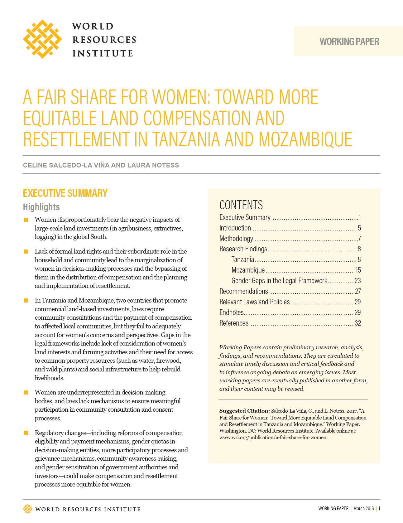
A Fair Share for Women: Toward More Equitable Land Compensation and Resettlement in Tanzania and Mozambique

Reports & Research
Fevereiro, 2018
Moçambique
Tanzania

Tanzania and Mozambique — countries of vast mountain ranges and open stretches of plateaus — now face a growing land problem. As soil degradation, climate change and population growth place enormous strains on the natural resources that sustain millions of people, multinational companies are also gunning for large swaths of land across both countries. Caught between these pressures, many poor, rural communities get displaced or decide to sell their collectively held land.