Passar para o conteúdo principal

page search

Issuesregistro de terrasLandLibrary Resource
Displaying 3037 - 3047 of 3047

Registration of private interests in land in a community lands policy setting: An exploratory study in Meru district, Tanzania

Peer-reviewed publication
Novembro, 2020
Tanzania

Current Tanzanian land law offers registration of private interests in land in the form of Certificates of Customary Rights of Occupancy (CCROs) within a broader community lands approach. We conducted qualitative research on the issuance of CCROs along a mountain slope transect in Meru district in northeast Tanzania. This area features intensified smallholder agriculture that evolutionary theory suggests is well adapted for registration of private interests in land.

Demand for second-stage land certification in Ethiopia: Evidence from household panel data

Peer-reviewed publication
Outubro, 2014
Etiópia

Ethiopia has implemented one of the largest, fastest and least expensive land registration and certification reforms in Africa. While there is evidence that this ‘first-stage’ land registration has had positive effects in terms of increased investment, land productivity and land rental market activities, the government is now piloting another round of land registration and certification that involves technically advanced land survey methods and computer registration.

The Land Administration Domain Model

Peer-reviewed publication
Novembro, 2015
Global

Societal drivers including poverty eradication, gender equality, indigenous recognition, adequate housing, sustainable agriculture, food security, climate change response, and good governance, influence contemporary land administration design. Equally, the opportunities provided by technological development also influence design approaches. The Land Administration Domain Model (LADM) attempts to align both: the data model provides a standardised global vocabulary for land administration.

Hybrid land tenure administration in Dunoon, South Africa

Peer-reviewed publication
Dezembro, 2019
Terras Austrais e Antárticas Francesas
República Centro-Africana
África austral
África do Sul
Reino Unido

Hybrid land tenure administration occurs in a number of South Africa’s state-subsidised housing projects and in the informal settlements from which the housing beneficiaries tend to be drawn. Ownership is the tenure form in most of these housing projects. Under ownership the law only recognises registered land transactions. Non-government tenure administration in Dunoon was organised by street and area committees that are part of the local South African National Civics Association (SANCO) branch, a community based organisation (CBO).

Coletânea do II Seminário Governança de Terras e Desenvolvimento Econômico

Journal Articles & Books
Julho, 2016
América Latina e Caribe
América do Sul
Brasil
II Seminário Governança de Terras e Desenvolvimento Econômico (1.: 2016: Campinas, SP)


Coletânea [recurso eletrônico] / II Seminário Governança de Terras e Desenvolvimento Econômico, 4 a 5 de agosto de 2016, Campinas, SP – Campinas: Unicamp. IE, 2016.


content/uploads/2016/12/Anais-2016.pdf> ISBN 978-85-86215-88-9.


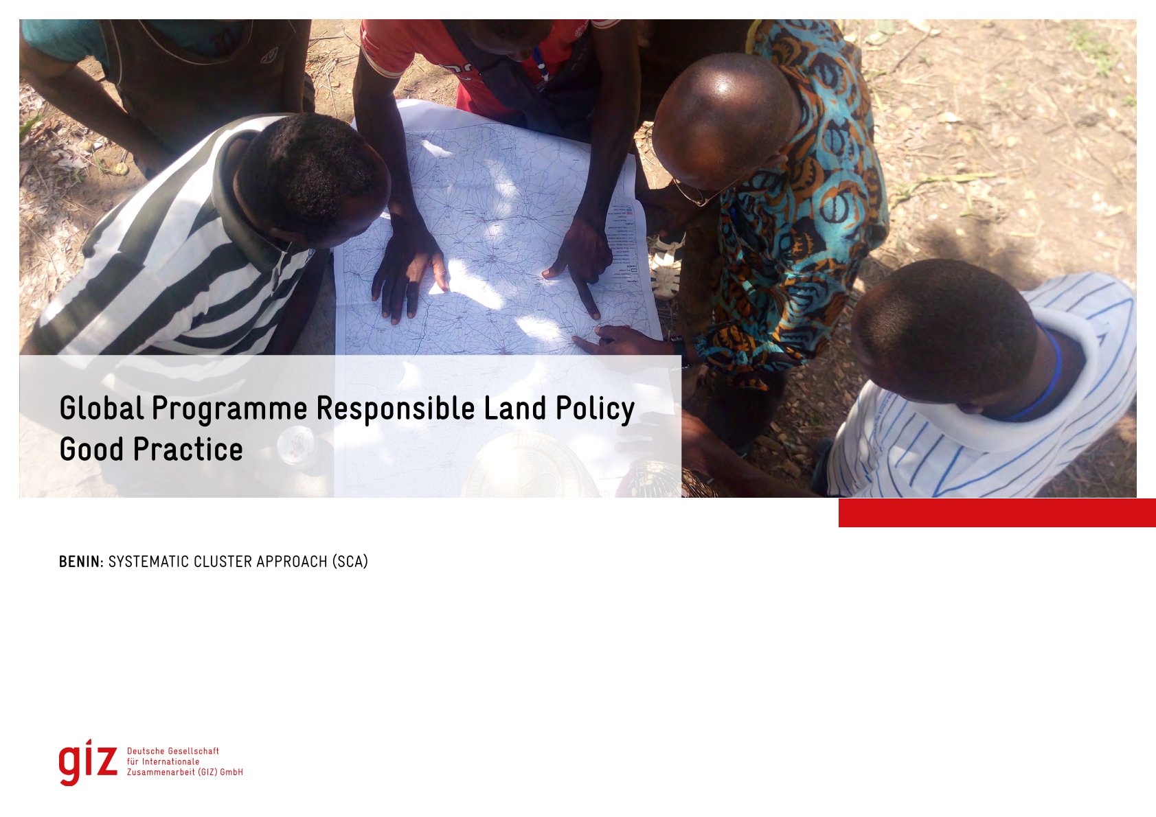
Good Practice

Institutional & promotional materials
Julho, 2022
África
Benim


The Global Programme 'Responsible Land Policy' (GPRLP) is part of the Special Initiative 'One World, No Hunger' of the German Federal Ministry for Economic Cooperation and Development (BMZ), which aims to reduce extreme poverty and hunger.

Protecting the Land Rights of Women through an Inclusive Land Registration System: The Case of Ethiopia

Peer-reviewed publication
Fevereiro, 2020
Etiópia

Land is owned by the state and peoples of Ethiopia. Rural farmers and pastoralists have landholding right which contains bundle of rights. Women have equal right to fully use their landholding. Ethiopia has implemented a first level land certification (FLLC). Despite the achievements of the FLLC, gaps were identified especially as regards to local participation throughout the certification process. Ethiopia is currently implementing Second Level Land Certification.

Space-Enhanced Systematic Land Titling and Registration: A Stride at Resuscitating Nigeria’s ‘Dead Capital’

Peer-reviewed publication
Abril, 2019
África

Since the commencement of land registration in Nigeria, less than 3% of land, mainly in urban areas had been registered. This is partly due to the prevalent sporadic method. Sporadic procedure of obtaining title is associated with many problems which include time and cost. This study examined space-enhanced systematic land titling and registration (SLTR) approach in Ondo State, Nigeria towards easing the titling logjam in the State. Questionnaire and Oral interview were used to elicit information from landowners and heads of departments of two government agencies.

Effects of land titling and registration on tenure security and agricultural investments: Case of Gataraga sector, Northern Rwanda

Peer-reviewed publication
Novembro, 2018
Ruanda

Rwanda has undertaken a land registration and titling program since 2008 with a registration of 10.3 million land parcels in 2013. The aim of this paper is to investigate the early effects of the program on tenure security and agricultural investments since few studies have been carried out in this research area. The study was undertaken in Musanze district in Northern Rwanda, with specific focus on Gataraga sector and it draws on a mix of qualitative and quantitative research methods. The findings indicate that the program led to reduced land conflicts and improved tenure security.

FEATURE ORIENTATION AND POSITIONAL ACCURACY ASSESSMENT OF DIGITAL ORTHOPHOTO AND LINE MAP FOR URBAN LAND REGISTRATION: THE CASE STUDY ON BAHIR DAR TOWN, ETHIOPIA

Peer-reviewed publication
Outubro, 2020
Etiópia

This study used in-situ GPS data to validate the accuracy of horizontal coordinates and orientation of linear features of orthophoto and line map for Bahir Dar city. GPS data is processed using GAMIT/GLOBK and Lieca GeoOfice (LGO) in a least square sense with a tie to local and regional GPS reference stations to predict horizontal coordinates at five checkpoints. Real-Time-Kinematic GPS measurement technique is used to collect the coordinates of road centerline to test the accuracy associated with the orientation of the photogrammetric line map.