Aller au contenu principal

page search

IssuesgéomètreLandLibrary Resource
There are 1, 390 content items of different types and languages related to géomètre on the Land Portal.

géomètre

AGROVOC URI:

Displaying 1309 - 1320 of 1333

AN EVALUATION OF THE CADASTRAL SYSTEM IN KENYA AND A STRATEGY FOR ITS MODERNIZATION

Reports & Research
Juillet, 2013
Kenya

The Cadastral system in Kenya was established in 1903 to support land alienation for the white settlers who had come into the country in the early part of the 20th Century. In the last hundred years, the system has remained more or less the same, where land records are kept in paper format and majority of operations are carried out on a manual basis. The lack of a modern cadastral system has contributed to problems in land administration in the country.

LDGI Survey

Journal Articles & Books
Reports & Research
Janvier, 2016
Kenya

Public land is a resource that should be effectively managed in the public’s best interest in line with provisions of the Constitutions of Kenya and the Land Act. The management framework governing land use and development decisions on public land should ensure protection and sustainable management of the land. Despite these provisions in law, recent media reports point toresurgenceof public land grab. The Land Development and Governance Institute commissioned this research study to establish the status of the public land management in Kenya.

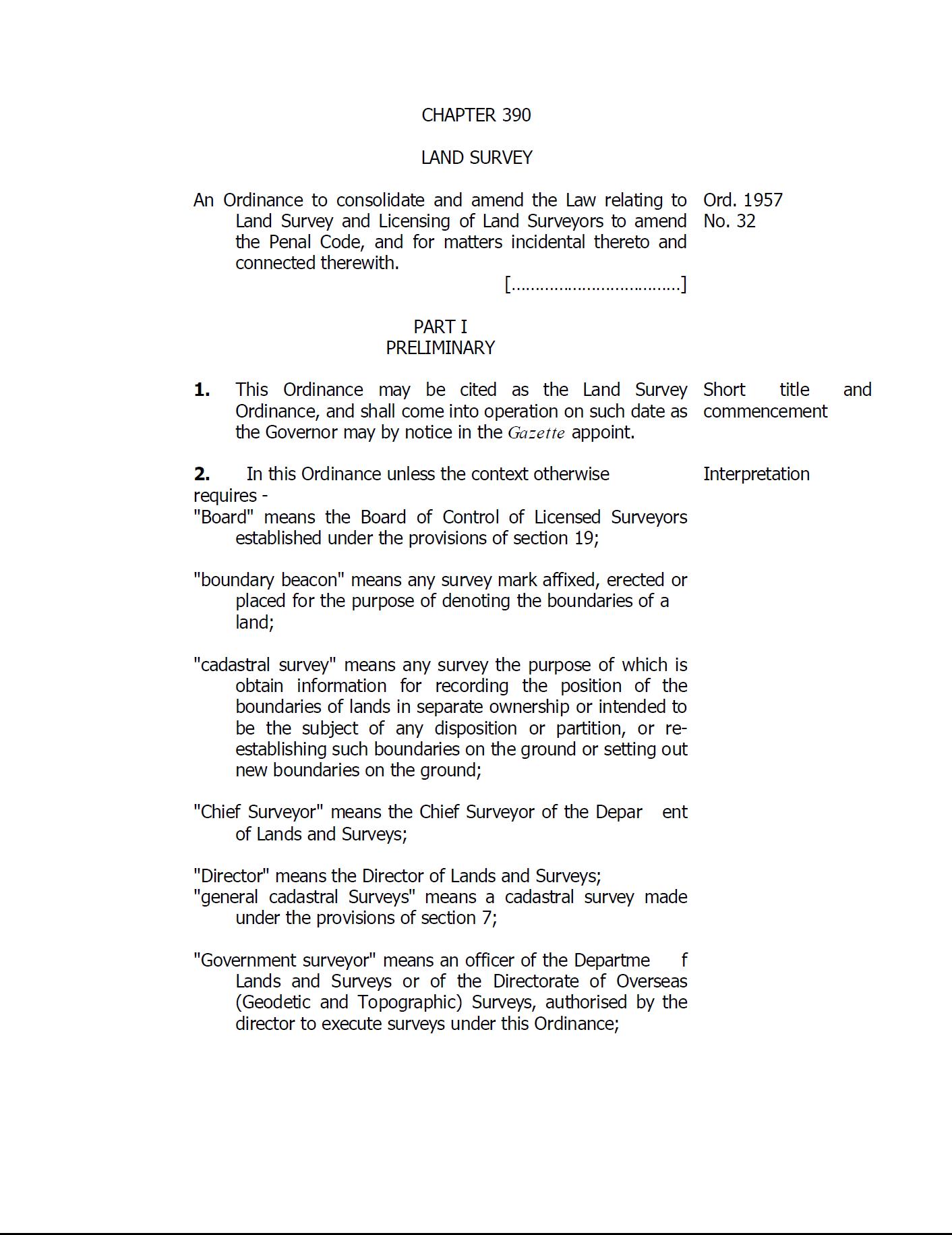
Land Survey Ordinance

Legislation
Novembre, 1957
Tanzania

An Ordinance to consolidate and amend the Law relating to Land Survey and Licensing of Land Surveyors to amend the Penal Code, and for matters incidental thereto and connected therewith. 

Arrêté n°13-MAR du 30 novembre 1982 portant organisation du service de la législation Agro-foncière.

Regulations
Togo
Afrique
Afrique occidentale

Le présent arrêté fixe des règles d’organisation et d’attribution du service de la législation Agro-foncière. Ce service, composé de trois (3) divisions, est compétente en matière de la documentation, de l'information et des recherches; des études et de l'application de la reforme foncière et des brigades opérationnelles chargées des travaux topographiques et cartographiques.

Décret n°2012-445/PRES/PM/MHU/MID/MEF/MATDS du 24 mai 2012 portant protection des ouvrages géodésiques et topographiques au Burkina Faso.

Regulations
Burkina Faso
Afrique
Afrique occidentale

Le présent décret détermine les mesures de protection particulière des ouvrages géodésiques et topographiques sur le territoire national d’intérêt général ou d’utilité publique.