Aller au contenu principal

page search

IssuesgéomètreLandLibrary Resource
There are 1, 390 content items of different types and languages related to géomètre on the Land Portal.

géomètre

AGROVOC URI:

Displaying 1297 - 1308 of 1333

Surveying and Mapping Law.

Legislation
Décembre, 1992
Chine

This Law is enacted to strengthen the development of the surveying and mapping undertaking. The Law consists of 34 Articles divided into 8 Chapters: General Provisions (I); Surveying and Mapping Datums and Systems (II); Surveying and Mapping Planning and the Implementation (III); Boundary Surveying and Mapping (IV); Administration on the Surveying and Mapping Results (V) ; Protection of Survey Markers (VI); Legal Liabilities (VII); Supplementary Provisions (VIII).

Regulations of the People's Republic of China on the Administration of Surveying and Mapping Results.

Regulations
Mai, 2006
Chine

The Regulations are formulated in accordance with the Surveying and Mapping Law of the People's Republic of China, for the purpose of enhancing the administration of surveying and mapping results, safeguarding national security, promoting the use of surveying and mapping results.The administrative department for surveying and mapping under the State Council shall be in charge of the unified administration of the surveying and mapping results nationwide.

Regulations of the People's Republic of China on the Protection of Survey Markers.

Regulations
Septembre, 1996
Chine

The Regulations are formulated in accordance with the Surveying and Mapping Law of the People's Republic of China, for the purpose of strengthening the protection and management of surveying markers. The Regulations consists of 26 Articles.These Regulations shall be applicable to the surveying markers placed in the territorial air, land and waters of the People's Republic of China, as well as other sea areas under the jurisdiction of the People's Republic of China (art.2).

Regulations of the People's Republic of China on the Protection of Survey Markers (2011).

Regulations
Décembre, 2010
Chine

These Regulations, consisting of 26 Articles, are formulated in accordance with the Surveying and Mapping Law of the People's Republic of China, for the purpose of strengthening the protection and management of surveying markers.These Regulations shall be applicable to the surveying markers placed in the territorial air, land and waters of the People's Republic of China, as well as other sea areas under the jurisdiction of the People's Republic of China (art.2).

Interim Measures for the Administration of the Surveying and Mapping Conducted by Foreign Organizations or Individuals in China.

Regulations
Janvier, 2007
Chine

These Interim Measures, consisting of 23 Articles, are formulated in accordance with the Surveying and Mapping Law of the People's Republic of China, for the purpose of strengthening the administration of the surveying and mapping activities conducted by foreign organizations or individuals within the territory of the People's Republic of China and other sea areas under its jurisdiction, safeguarding national security and interests, and promoting the economic, scientific and technological exchange and cooperation between China and foreign countries.The administrative department of surveying

Decree No. 38 of the Ministry of Agriculture and Food amending Decree No. 16 of the Ministry of Agriculture and Food validating the Instruction on financing out of national budget agricultural production, fishfarming and processing of agricultural comm...

Regulations
Décembre, 2016
Bélarus

Item 4.9 shall be amended to add the following wording: “National budget shall finance mapping of the boundaries of land plots allotted to peasant farms for family farming, legalization of rights to agricultural land plots and bonus payment to purchase prices applicable for purchase of agricultural commodities form smallholders”.

Amends: Decree No. 16 of the Ministry of Agriculture and Food validating the Instruction on financing out of national budget agricultural production, fishfarming and processing of agricultural commodities. (2016-04-29)

Resolución Nº 7 - Instructivo para Estandarización de Abreviación, Simbolización y Formato de Base de Datos para Cartografiado Geológico.

Regulations
Septembre, 2016
Équateur

La presente Resolución aprueba el Instructivo para Estandarización de Abreviación, Simbolización y Formato de Base de Datos para Cartografiado Geológico, uso obligatorio en la cartografía geológica del Instituto Nacional de Investigación Geológico, Minero, Metalúrgico (INIGEMM), y referencial para las instituciones nacionales, públicas, privadas y académicas que realizan actividades geológicas en el país.

Surveying and Mapping Law (2017).

Legislation
Décembre, 1992
Chine

This Law is enacted to strengthen the administration of the surveying and mapping undertaking, promote its development, ensure that it renders service to the development of national economy, building up of national defence, progress of the society as well as ecological protection, and safeguard the security of national geospatial information.The State exercises a graded administrative system over basic surveying and mapping.

Regulation on the inventory and surveys of areas with polluted soil, the necessary restorative measures, as well as the maintenance of implemented restoration measures.

Regulations
Février, 2007
Bulgarie

This Regulation determines the manner for carrying out the necessary inventory and surveys over the areas (if present on the territory of the Republic of Bulgaria) with polluted soil, defining the mandatory restoration measures, including the implementation and maintenance of such restoration measures.These rules will not apply to areas that are covered by programmes for elimination of environmental damage under the terms of other more specific documents (see article 1, paragraph 2).Major purpose of this text is to offer direct provisions aimed to set the inventory and field surveys that sh

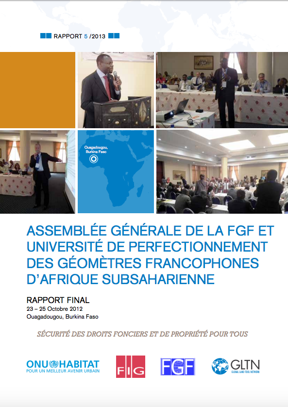
Assemblée Générale de la FGF et Université de perfectionnementdes Géomètres Francophones d’Afrique Subsaharienne (Ouagadougou Report)

Reports & Research
Décembre, 2012
Afrique occidentale
Afrique

En marge de l’Assemblée Générale de la Fédération des Géomètres Francophones (FGF), ONU-Habitat et le Réseau Mondial des Instruments Fonciers (GLTN), a organisé une séance de formation sur la bonne gouvernance foncière.
Cette rencontre technique et scientifique a réuni 130 experts géomètres, du secteur privé, du secteur public, enseignants, étudiants, venus de 13 pays d’Afrique Subsaharienne et d’Europe.

Rural Development and Land Reform General Amendment Act, 2011

Legislation & Policies
Mai, 2011
Afrique du Sud

To amend various laws under the administration of the Minister of Rural Development and Land Reform, so as to substitute certain obsolete definitions to ensure legal certainty; to effect certain consequential amendments in this regard; and to provide for matters connected therewith. BE IT ENACTED by the Parliament of the Republic of South Africa

Communal Land Rights Act

Legislation & Policies
Juillet, 1994
Afrique du Sud

To provide for the temporary protection of certain rights to and interests in land which are not otherwise adequately protected by law; and to provide for matters connected therewith