Focal point
Location
FIG is the premier international organization representing the interests of surveyors worldwide. It is a federation of the national member associations and covers the whole range of professional fields within the global surveying community. It provides an international forum for discussion and development aiming to promote professional practice and standards.
FIG was founded in 1878 in Paris and was known as the Fédération Internationale des Géomètres. This has become anglicized to the International Federation of Surveyors. It is a UN-recognized non-government organization (NGO), representing more than 120 countries throughout the world, and its aim is to ensure that the disciplines of surveying and all who practise them meet the needs of the markets and communities that they serve.
The FIG vision
A modern and sustainable surveying profession in support of society, environment and economy by providing innovative, reliable and best practice solutions to our rapidly changing and complex world, acting with integrity and confidence about the usefulness of surveying, and translating these words into action.
The role of FIG
FIG’s activities are governed by a work plan, which is approved by the General Assembly and reviewed by Council as its tenure progresses. The current work plan with the motto “Ensuring the Rapid Response to Change Ensuring the Surveyor of Tomorrow” guides Council, Commissions, Networks and Task Force in their activities.
FIG supports the role of a prosperous and sustainable profession of surveyors to provide solution functionality, reliably, affordably for a complex and rapidly changing world that cannot wait, and to translate a sustainable development agenda into action. FIG supports international collaboration among its members for the progress of surveying in all its fields and applications. FIG has a close cooperation with United Nations relevant bodies, World Bank, and its sister associations and has been globally recognized as the leading international non-governmental organization on geospatial information and the management of “land”, the “sea” and the “built” environment. It is within the surveyors’ task to determine the size and shape of the earth, to map its surface and to manage it in a sustainable way.
Resources
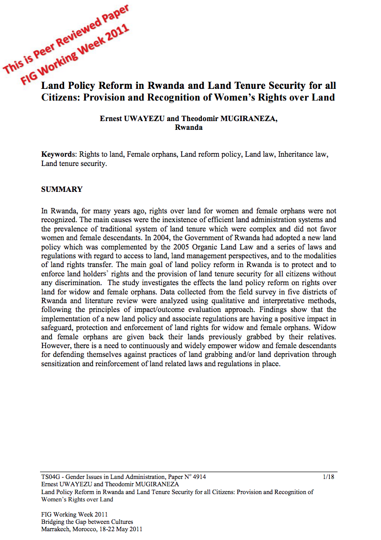
Displaying 36 - 40 of 49Land Policy Reform in Rwanda and Land Tenure Security for all Citizens: Provision and Recognition of Women’s Rights over Land
In Rwanda, for many years ago, rights over land for women and female orphans were not
recognized. The main causes were the inexistence of efficient land administration systems and
the prevalence of traditional system of land tenure which were complex and did not favor
women and female descendants. In 2004, the Government of Rwanda had adopted a new land
policy which was complemented by the 2005 Organic Land Law and a series of laws and
regulations with regard to access to land, land management perspectives, and to the modalities
Groundwater management in land administration: A spatio-temporal perspective
Although the use of land and water is intertwined, specifics for groundwater management are not effectively dealt with in the laws and other institutional mechanisms related to land. Provisions for groundwater aspects in land management are there, but with a focus on the land itself. Land rights and restrictions are more or less static, lacking enough flexibility to incorporate the relatively short interval spatio-temporal dynamics of groundwater resources in the land management and regulation mechanisms. This leads to a gap between the scientific inputs and policy-decision making.
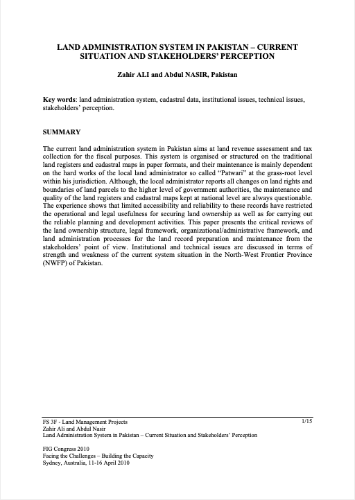
Land Administration System In Pakistan – Current Situation And Stakeholders’ Perception
The current land administration system in Pakistan aims at land revenue assessment and tax collection for the fiscal purposes. This system is organised or structured on the traditional land registers and cadastral maps in paper formats, and their maintenance is mainly dependent on the hard works of the local land administrator so called “Patwari” at the grass-root level within his jurisdiction.
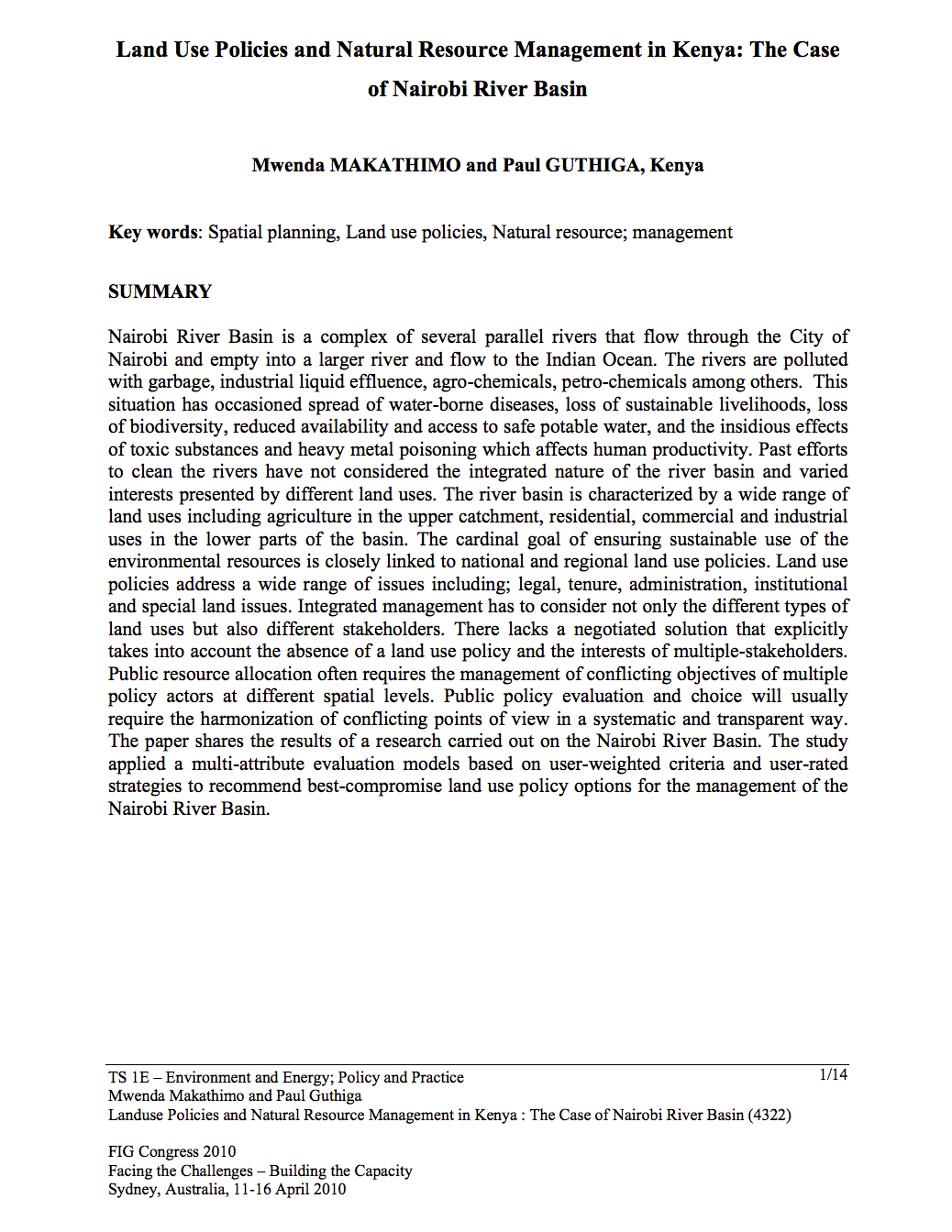
Land Use Policies and Natural Resource Management in Kenya: The Case of Nairobi River Basin
Nairobi River Basin is a complex of several parallel rivers that flow through the City of Nairobi and empty into a larger river and flow to the Indian Ocean. The rivers are polluted with garbage, industrial liquid effluence, agro-chemicals, petro-chemicals among others. This situation has occasioned spread of water-borne diseases, loss of sustainable livelihoods, loss of biodiversity, reduced availability and access to safe potable water, and the insidious effects of toxic substances and heavy metal poisoning which affects human productivity.
Land Acquisition, Compensation And Resettlement In Developing Economies: Nigeria As A Case Study
The paper presents and discusses the fact that when land is acquired, compensation paid and resettlement done, the communities still go ahead and put constraints before the Government for the purposes of hindering the development. Citing of projects for economic development is a major problem for developing economies because of the agitation of the land “owners”despite an existing good land tenure system.
The paper stressed the fact that one general law may not be sufficient for Government to process land for development purposes because of the communities’ agitation


