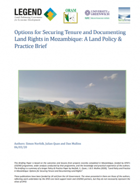
Legitimate tenure rights, both in and around project sites, need to be recognised, documented and as far as possible, secured at the start of an investment process. If rights are not documented, then companies will not know whose land rights are likely to be affected or whom to consult.
Hechos relevantes: Land & InvestmentsVer todo
A LEGEND case study on land rights mapping and documentation explains the practical approaches applied in pilot projects to understand and map customary land rights and tenure systems, and the use of low-cost digital tools to document and certify communities’ and households’ land rights, including those of women, in different types of social and investment contexts. Highlights include::
- The use of an open spatial data platform and participatory mapping tools by ORAM and Terra Firma in Mozambique to map community land areas and the rights of thousands of individual households to specific land parcels and generate certificates issued by legally registered village land associations
- Land tenure assessments in LEGEND projects undertaken by Solidaridad and WHH in Sierra Leone, where land is owned by land holding families and rights to use land are allocated to family members and other community members according to customary principles, generally by unwritten agreements
Securing collective group rights and participatory land use planning provides a foundation for new natural resource -based community businesses as in the pilot projects implemented by Micaia in Mozambique and VSF-B in Tanzania
Additional resources and lessons learned from the pilot projects
- ORAM and Terra Firma’s technical guides on local land rights documentation and participatory mapping and documentation in Mozambique
- Micaia’s reflection paper on community-based land governance and land use planning to support the development of the Baobab value chain in central Mozambique.
- Although companies can support mapping processes and assist in registering land rights of smallholder farmers, there are risks in handing over responsibilities. See Solidaridad’s learning story on the challenges of doing participatory land rights mapping jointly with an oil palm investor
- A USAID pilot project on Tenure and Global Climate Change(link is external) illustrates the potential for corporate traders and buyers to strengthen tenure security by support registration of small producers’ rights through a partnership to strengthen incentives to improve cocoa production in western Ghana [full report(link is external)]
Descargo de responsabilidad: Los datos mostrados en el Land Portal son proporcionados por terceros indicados como fuente de datos o como proveedor de datos. El equipo del Land Portal trabaja constantemente para garantizar el mayor nivel posible de calidad y precisión de los datos, aunque éstos son, por su naturaleza, aproximados y contendrán algunas inexactitudes. Los datos pueden contener errores introducidos por el proveedor o proveedores de datos y/o por el equipo de Land Portal. Además, esta página permite comparar datos de diferentes fuentes, pero no todos los indicadores son necesariamente comparables desde el punto de vista estadístico. La Fundación Land Portal (A) renuncia expresamente a la exactitud, adecuación o integridad de los datos y (B) no será responsable de los errores, omisiones u otros defectos, retrasos o interrupciones de dichos datos, ni de las acciones realizadas en base a ellos. Ni la Fundación Land Portal ni ninguno de sus proveedores de datos serán responsables de ningún daño relacionado con el uso que usted haga de los datos aquí proporcionados.


