Pasar al contenido principal

page search

Displaying 25 - 36 of 49

Using geospatial technologies to support compulsory land acquisition in Kenya

Journal Articles & Books
Abril, 2015
Kenya

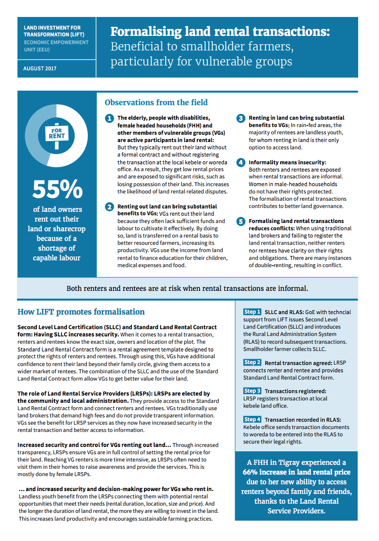
Governments have power to compulsorily acquire land or other interest in land for a public purpose subject to prompt payment of the compensation to the affected persons. The process of land acquisition involves several government departments which have different mandates depending with the purpose of the acquisition. In several instances departments involved have been seen to be disjointed hence causing gaps and unfinished work in the whole process.

AN EVALUATION OF THE CADASTRAL SYSTEM IN KENYA AND A STRATEGY FOR ITS MODERNIZATION

Reports & Research
Julio, 2013
Kenya

The Cadastral system in Kenya was established in 1903 to support land alienation for the white settlers who had come into the country in the early part of the 20th Century. In the last hundred years, the system has remained more or less the same, where land records are kept in paper format and majority of operations are carried out on a manual basis. The lack of a modern cadastral system has contributed to problems in land administration in the country.

The pastoralist’s parcel: towards better land tenure recognition and climate change response in Kenya’s dry lands

Journal Articles & Books
Abril, 2013
Kenya

Conventional notions of the ‘land parcel’ have been extended: previously unrecognized tenures including customary, nomadic, or communal interests are now incorporated into the concept. Technical tools including the Social Tenure Domain Model (STDM) enable these new understandings to be operationalized in land administration systems. The nomadic pastoralists of Kenya’s dry land regions illustrate where these new approaches can be applied.

The Structure of the Cadastral System in Kenya

Journal Articles & Books
Junio, 2013
Kenya

The cadastral system in Kenya was established in 1903 to cater for land alienation for the white settlers. Since then, a hundred years later, the structure of the system has remained more or less the same despite major changes in surveying technology. The government of Kenya has realized that the current structure is not conducive to economic demands of the 21st century and is interested in re-organizing the structure in line with the current constitutional dispensation and new paradigms in land management.

PREPARATION AND IMPLEMENTATION OF COUNTY SPATIAL PLANS

Manuals & Guidelines
Enero, 2017
Kenya

The Constitution of Kenya 2010 apportions responsibility of planning to both National and County governments. The County Government Act, 2012 obligates county governments to prepare and implement County Integrated Development Plans (CIDP). The CIDPs are, according to the act, five year plans that will form the basis of annual budgetary allocation by the county governments.

Land Use Policies and Natural Resource Management in Kenya: The Case of Nairobi River Basin

Journal Articles & Books
Marzo, 2010
Kenya

Nairobi River Basin is a complex of several parallel rivers that flow through the City of Nairobi and empty into a larger river and flow to the Indian Ocean. The rivers are polluted with garbage, industrial liquid effluence, agro-chemicals, petro-chemicals among others. This situation has occasioned spread of water-borne diseases, loss of sustainable livelihoods, loss of biodiversity, reduced availability and access to safe potable water, and the insidious effects of toxic substances and heavy metal poisoning which affects human productivity.

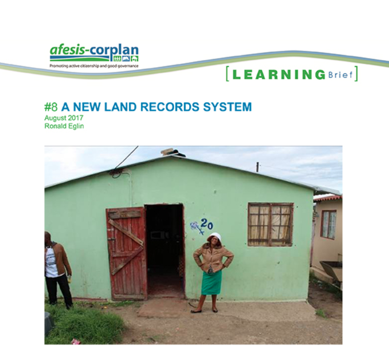
A new land records system

Policy Papers & Briefs
Julio, 2017
Sudáfrica

It is fairly well understood how an incremental settlement approach to addressing South Africa's housing and settlement needs works, but there is less understanding however for how an incremental settlement approach could work in the context of tenure security.

Improving Land Governance in West Bengal: Land Governance Assessment Framework

Reports & Research
Julio, 2014
India

This report comprises of a comprehensive assessment of the status of land governance in the Indian state of West Bengal, by using the World Bank’s Land Governance Assessment Framework (LGAF) during 2013-1014. This report presents its findings. The assessment was taken up in nine distinct thematic areas of land governance as envisaged in the LGAF.