Passar para o conteúdo principal

page search

Issuesposse formalLandLibrary Resource
There are 185 content items of different types and languages related to posse formal on the Land Portal.

posse formal

AGROVOC URI:

Displaying 1 - 12 of 22

Governance in Mining Areas in Tanzania with Special Reference to Land Issues

Reports & Research
Novembro, 2012
Tanzania

The economies of many countries such as the Gulf and Southern African States are to a considerable extent sustained by financial flows from extraction of mineral resources and fossil fuels. The discovery of such fortunes, in sufficiently viable quantities, can be a significant national blessing for effectively addressing development challenges. However, experience in other countries has shown that financial resources obtainable from mineral and fossil fuel extraction – the Extractive Industry, have not always assisted economic and social development.

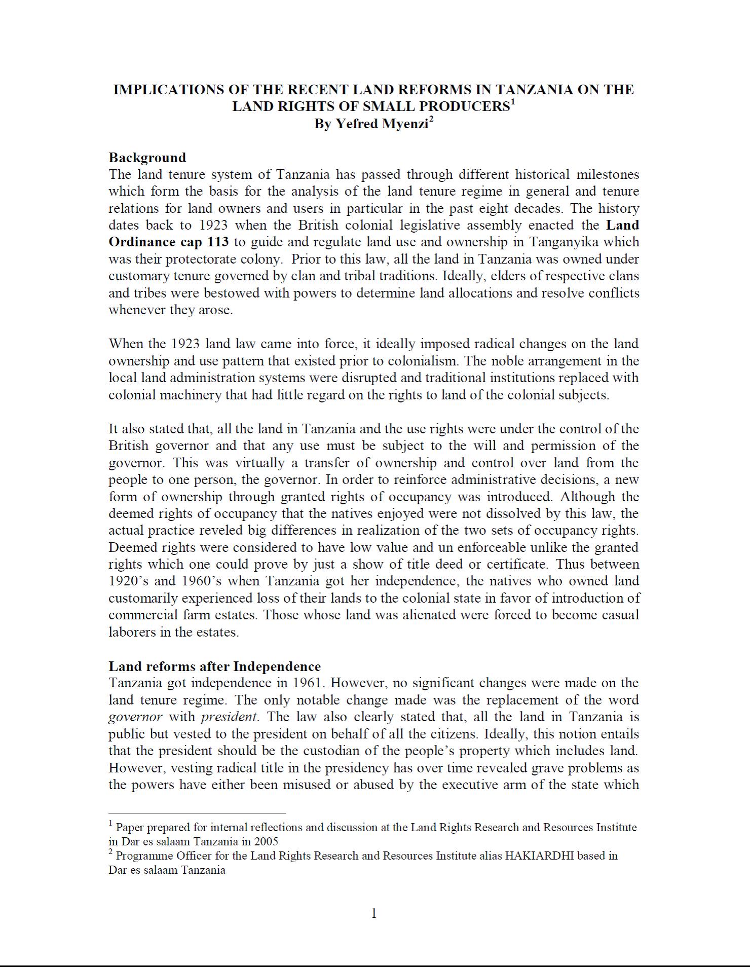
Implications of the Recent Land Reforms in Tanzania on the Land Rights of Small Producers

Conference Papers & Reports
Novembro, 2005
Tanzania

The land tenure system of Tanzania has passed through different historical milestones which form the basis for the analysis of the land tenure regime in general and tenure relations for land owners and users in particular in the past eight decades. The history dates back to 1923 when the British colonial legislative assembly enacted the Land Ordinance cap 113 to guide and regulate land use and ownership in Tanganyika which was their protectorate colony. Prior to this law, all the land in Tanzania was owned under customary tenure governed by clan and tribal traditions.

DEVELOPMENT AND IMPLEMENTATION OF THE LAND MANAGEMENT SYSTEM: AN IMPETUS OR A DETERRENT TO EFFECTIVE AND EFFICIENT LAND MANAGEMENT IN KENYA?

Journal Articles & Books
Fevereiro, 2016
Quênia

A Land Information Management System (LIMS) is an information system that enables the capture, management, and analysis of geographically referenced land-related data in order to produce land information for decision-making in land administration and management. The system is a Geospatial Information System (GIS) driven for the purposes of handling and managing parcel based information. The Republic of Kenya, located in East Africa, ranks 33rd in the world in terms of population with 38.6 million people and has a land area of 224,081 square miles.

Land Use in Kenya; The case for a national land-use policy

Journal Articles & Books
Fevereiro, 2015
Quênia

This book exposes the key land use and environmental problems facing Kenya today due to lack of an appropriate national land use policy. The publication details how the air is increasingly being polluted, the water systems are diminishing in quantity and deteriorating in quality. The desertification process threatens the land and its cover. The soils are being eroded leading to siltation of the ocean and lakes. The forests are being depleted with impunity thus destroying the water catchments.

Diretrizes Voluntárias sobre a Governança Responsável da Terra, dos recursos Pesqueiros e Florestais no Cotexto da Segurança Alimetar Nacional

Journal Articles & Books
Dezembro, 2014
América Latina e Caribe
América do Sul
Brasil
As Diretrizes Voluntárias para a Governança Responsável da Terra, dos Recursos Pesqueiros e Florestais no contexto da Segurança Alimentar Nacional (DVGT) aprovadas na 38a Sessão extraordinária do
Comitê de Segurança Alimentar Mundial (CSA), em maio de 2012, são um marco histórico. Elas representam o principal documento internacional normativo sobre questões fundiárias consensuado por todos os países membros das Nações Unidas.
 
É, também, o primeiro documento aprovado após profundo processo de reforma do CSA, concluído em 2009.

Norte do Pará: Situação Atual e Perspectivas para o Desenvolvimento Sustentável

Journal Articles & Books
Dezembro, 2019
América do Sul
Brasil

O território do norte paraense possui 270.040,7 km², distribuídos em nove municípios: Alenquer, Almeirim, Curuá, Faro, Monte Alegre, Óbidos, Oriximiná, Prainha e Terra Santa. Tal área ocupa 22% do estado do Pará, o equivalente à soma dos estados de São Paulo e Sergipe (IBGE, 2019). Em 2019, esse território abrigava uma população estimada em apenas 344.385 habitantes (4% da população total do Pará). Além disso, seu incremento populacional tem ficado abaixo da média do restante do estado. De fato, a população do Norte do Pará aumentou somente 51.480 habitantes entre os anos 2000 e 2019.

From Elitist Standards to Basic Needs – Diversified Strategies to Land Registration Serving Poverty Alleviation Objectives

Reports & Research
Dezembro, 2003
África

Contains the urban poverty challenge; from illegality to formal tenure; segregation of space – an urban poverty challenge; from government to governance; the role of the state; government as a land owner; management of public land and public spaces; settlement of administrative and community boundaries; local land tenure regularisation; better information and the role of statistical data.

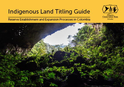
Indigenous Land Titling Guide

Training Resources & Tools
Dezembro, 2018
América do Sul

Ensuring the collective survival of indigenous peoples requires guaranteeing their rights and access to traditional lands. In Colombia, indigenous peoples’ struggle for ancestral land rights has been ongoing for more than four centuries, marked by collective mobilization and pressure before official entities.

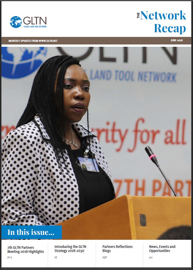
The Network Recap – June 2018

Conference Papers & Reports
Junho, 2018
Global

Land sector challenges are vast and complex. Insecure rights to land continues to affect more than 2 billion people living in urban and rural informality worldwide, with women, youth and indigenous people faring the worst. We need more strategic partnerships, at all levels, that drive innovative thinking and provide practical solutions to these tenure security challenges.

The role of land tenure and governance in reproducing and transforming spatial inequality

Reports & Research
Junho, 2017
Global

Various multilateral organisations, for instance the World Bank, the Food and Agricultural Organisation have been at the forefront of the different programmes designed to enhance tenure security of landholders as the basis for long-term agricultural development. This has been the case especially in parts of the world where customary systems of tenure are predominant. Wily argues that ‘so little of sub-Saharan Africa is subject to formal entitlements as legally recognised private properties’.

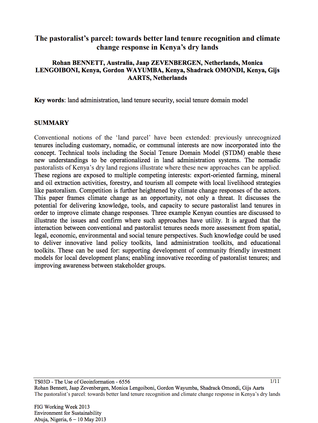
The pastoralist’s parcel: towards better land tenure recognition and climate change response in Kenya’s dry lands

Journal Articles & Books
Abril, 2013
Quênia

Conventional notions of the ‘land parcel’ have been extended: previously unrecognized tenures including customary, nomadic, or communal interests are now incorporated into the concept. Technical tools including the Social Tenure Domain Model (STDM) enable these new understandings to be operationalized in land administration systems. The nomadic pastoralists of Kenya’s dry land regions illustrate where these new approaches can be applied.