Location
ITC is the University of Twente’s Faculty of Geo-Information Science and Earth Observation.
Our mission is to develop capacity, particularly in less developed countries, and to utilize geospatial solutions to deal with national and global problems.
Our vision is that spatial solutions will play an increasingly important role in meeting many of mankind’s complex challenges (often wicked problems), such as climate change, population growth, and related claims for sufficient and secure food, water, energy, health, land and housing provision.
Therefore, our goal is to enhance our standing as an internationally recognized knowledge hub in the spatial domain, renowned for its collaborative educational and research activities, particularly in the global South.
CAPACITY DEVELOPMENT
For ITC, capacity development implies building capacity in domain-specific knowledge, skills and attitude at the individual and institutional/societal levels. ITC therefore aims to achieve both individual and collaborative capacity building. This development reflects what happens in modern societies with a strong private sector. Individual capacity development aims will be addressed through education.
RESEARCH
ITC is an internationally recognized leading research entity in geospatial sciences, with an emphasis on geo-information science and earth observation. We focus on fundamental and problem-solving research, with an eye to those complex global challenges where spatial information can make a real difference.
EDUCATION
We equip our students to tackle one of mankind’s greatest challenges: balancing the development of natural resources with the preservation of our earth by providing geo-information and geo-information management tools. Our students will learn to take a multidisciplinary approach to problem-solving, benefiting from the University of Twente’s pioneering position in an exciting new field of research: the interaction between new technologies and society. Master’s students at ITC, will be encouraged and trained to break through existing academic boundaries. Study with us and become a savvy, internationally confident professional, capable of developing new knowledge and translating it into practical solutions for real-world problems.
ITC’s combination of geo-information science and remote sensing in postgraduate education offered in different domains is unique in the world.
Members:
Resources
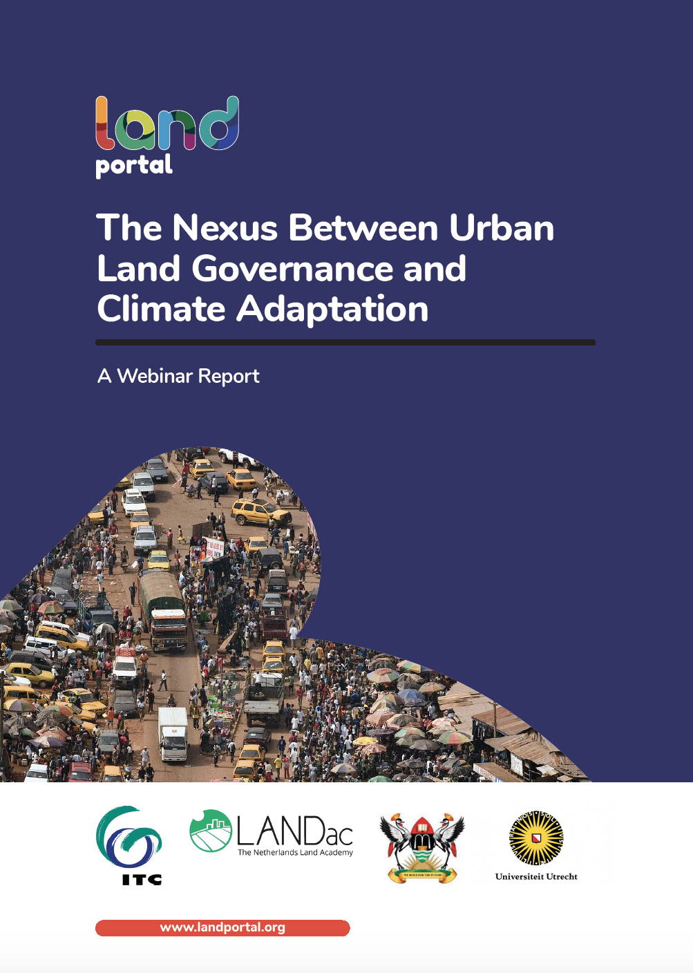
Displaying 1 - 3 of 3The Nexus Between Urban Land Governance and Climate Adaptation
Informal settlements in areas that are already disaster prone are an increasing problem. Climate adaptation is also often used as an excuse fo evictions to redevelop sites in a more climate-proof manner in what is often referred to as ‘climate gentrification. Nature-based solutions to climate change, such as increasing green spaces, may increase home values, but the question of who benefits from these initiatives arises. How can the side effects of climate interventions that can lead to inequality, such as increase in value, be avoided?
LAND-at-scale Knowledge Management for Equitable and Sustainable Land Governance: Supporting the LAND-at-scale
General
Knowledge management (KM) and learning are at the heart of the LAND-at-scale programme. The Netherlands Enterprise Agency (RVO) in partnership with a broad scala of knowledge partners including LANDac, Royal Tropical Intitute (KIT), the International Land Coalition (ILC), Land Portal and many more will collaborate to implement the knowledge management (KM) component of the program.
Through LAND-at-scale's country-projects, the aim is to achieve just, inclusive and sustainable land governance at scale and in a sustainable way. With an integrated KM-strategy, LAND-at-scale aims to achieve maximum impact of each project, as well as contribute to gaining a deeper understanding of the conditions required to create structural change. Exchanges across partners is a core element of the strategy, but also linking them to academic partners to fill in knowledge gaps and uncover more along the way.
Check the publications below to see all the insights so far, and want to get in contact? Email us via landatscale@rvo.nl
To follow our most recent work, make sure to follow us on LinkedIn: LAND-at-scale programme: Posts | LinkedIn or subscribe to our quarterly LAND-at-scale newsletter


