Average share of the built-up area of cities that is open space for public use for all, by sex, age and persons with disabilities
Last updated on 1 February 2022
This indicator is currently classified as Tier II. The United Nations Human Settlements Programme (UN-Habitat) is the Custodian agency for this indicator.
Unit of measure: Ratio of land allocated to public spaces and the total population with access to these spaces (%).
Why is this indicator important?
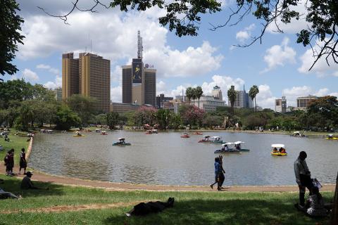
Cities work in a sustainable manner when private and public spaces have a symbiotic relationship. Public spaces are often seen as symbols of equality because they tend to be open and available to all members of the public regardless of sex, age, or disability. Yet these spaces have dwindled in urban areas in recent years.
Well-planned and managed public spaces have positive impacts, such as maintaining social inclusion, civic identity, quality of life, productivity, and environmental sustainability. However, the non-provision or privatization of public spaces has brought about increased exclusion and marginalization. City-wide policies and strategies should ensure proper planning, design and management of public spaces at different scales.
How is the indicator measured and monitored?
According to the metadata document, the area of public space is measured based on three steps: 1) spatial analysis to measure built-up areas that refer to urban/city area; 2) identification and estimation of the total area occupied by open public spaces and; 3) estimation of the total area allocated to streets. The data is disaggregated by quality of the open public space (in terms of safety, inclusivity, accessibility, greenness, and comfort), type of open space (e.g., green, blue) as well as age, gender, and disability status.
Most data is collected through urban land use plans, GIS data, or community mapping, in collaboration with national statistical authorities and other stakeholders working on this indicator. Existing data covers 712 cities with new cities being added constantly.
By Anne Hennings, peer-reviewed by Dennis Mwaniki, Spatial Data Expert at UN-Habitat’s Data and Analytics Unit.
Other related indicators on Land Portal
In addition to the official indicator data, the following indicators provide information on urban expansion and restrictions on urban land use and ownership.
| Indicator | Min-Max Number of years |
Countries / Obs | Min / Max Value |
|---|---|---|---|
| Process for urban expansion clear, public, respects rights | |||
| Restrictions on urban land use, ownership and transferability |
The digital building blocks of better communities
In cities and communities across the world, citizens of all ages and backgrounds are getting the chance to literally play an important role in redesigning their public spaces, thanks to an innovative collaboration between the UN, and the company behind the popular computer game Minecraft.
High-Level Political Forum 2019 (HLPF)
The High-level Political Forum, United Nations central platform for follow-up and review of the 2030 Agenda for Sustainable Development and the Sustainable Development Goals, provides for the full and effective participation of all States Members of the United Nations and States members of specialized agencies.
Public Spaces: A key tool to achieve the Sustainable Development Goals
Source: NCD Alliance
Public space interventions have the potential to contribute to progress across numerous Agenda 2030 goals and targets, not only SDG11 on Sustainable Cities. Kristie Daniel explores the opportunities public spaces present for different SDGs, and summarises the case for governments and communities to prioritise investing in them.
Paginering
- Pagina 1
- Volgende pagina next ›
An Evaluation of Public Spaces with the Use of Direct and Remote Methods
Public spaces play many important roles and constitute a vital component of the urban fabric, in particular in towns with historical centers. Effective management of public space should be based on the results of qualitative assessments. The quality of public space is usually evaluated directly during field surveys.
The Future of Urban Cemeteries as Public Spaces: Insights from Oslo and Copenhagen
Public spaces are believed to make cities more liveable, healthy and socially equal. To date, discussions about public spaces have primarily revolved around emblematic types, such as squares and parks, while little attention has been paid to cemeteries.
COVID-19 and urban public transport services: emerging challenges and research agenda
This article explores the implications of the COVID-19 pandemic for public transport. Three elements are explored. Firstly, the short-term effects, including perceptions of public transport as a vector of virus transmission and shifts towards less-sustainable modes of transport.
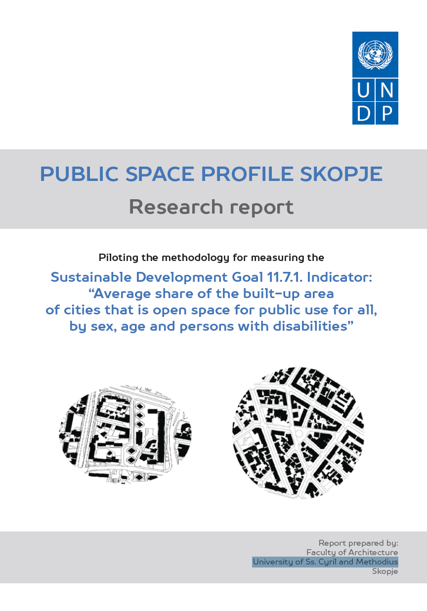
Public Space Profile Skopje: Research Report
This Public Space Profile of the City of Skopje provides a brief overview of current practices in the development and management of public space in Skopje and a profile of the availability and quality of public space. The report addresses numerous institutional, technical and human dimensions of public spaces in Skopje, including:
Metadata on SDGs Indicator 11.7.1
Goal 11: Make cities and human settlements inclusive, safe, resilient and
sustainable.
Target 11.7: Providing universal access to safe, inclusive and accessible,
green and public spaces, in particular for women and children, older
persons and persons with disabilities.
Paginering
![]()

By 2030, provide universal access to safe, inclusive and accessible, green and public spaces, in particular for women and children, older persons and persons with disabilities
Indicator details
The indicator is conceptually clear, has an internationally established methodology and standards are available, but data is not regularly produced by countries.
Key dates:


