Aller au contenu principal

page search

IssuesenvironnementLandLibrary Resource
There are 6, 216 content items of different types and languages related to environnement on the Land Portal.

environnement

AGROVOC URI:

Displaying 1681 - 1692 of 3179

Overview of Nature Protection Progress in Kosovo

Peer-reviewed publication
Décembre, 2015

This paper presents an overview of progress in the area of nature conservation in the last decade in Kosovo.
Two very important laws were promulgated in 2012 about two national parks: Bjeshket e Nemuna and
Sharri National park. With this expansion, the protected area network that in 2003 was about 4.36 % of
the territory was increased to 10.9%, reaching a satisfactory degree of protected areas and increasing the
number of protected areas in a total of 116. While in terms of conservation of protected areas a significant

Satellite Monitoring of Vegetation Response to Precipitation and Dust Storm Outbreaks in Gobi Desert Regions

Peer-reviewed publication

Recently, droughts have become widespread in the Northern Hemisphere, including in Mongolia. The ground surface condition, particularly vegetation coverage, affects the occurrence of dust storms. The main sources of dust storms in the Asian region are the Taklimakan and Mongolian Gobi desert regions. In these regions, precipitation is one of the most important factors for growth of plants especially in arid and semi-arid land. The purpose of this study is to clarify the relationship between precipitation and vegetation cover dynamics over 29 years in the Gobi region.

Assessing Climate Smart Agriculture and Its Determinants of Practice in Ghana: A Case of the Cocoa Production System

Peer-reviewed publication
Ghana

Agriculture in Africa is not only exposed to climate change impacts but is also a source of greenhouse gases (GHGs). While GHG emissions in Africa are relatively minimal in global dimensions, agriculture in the continent constitutes a major source of GHG emissions. In Ghana, agricultural emissions are accelerating, mainly due to ensuing deforestation of which smallholder cocoa farming is largely associated. The sector is also bedevilled by soil degradation, pests, diseases and poor yields coupled with poor agronomic practices.

Post-War Land Cover Changes and Fragmentation in Halgurd Sakran National Park (HSNP), Kurdistan Region of Iraq

Peer-reviewed publication

Context: The fundamental driving force of land use and land cover (LULC) change is related to spatial and temporal processes caused by human activities such as agricultural expansion and demographic change. Landscape metrics were used to analyze post-war changes in a rural mountain landscape, the protected area of Halgurd-Sakran National Park (HSNP) in north-east Iraq. Therefore, the present work attempts to identify the temporal trends of the most fragmented land cover types between two parts of the national park.

Land Use and Land Cover Changes and Their Effects on the Landscape of Abaya-Chamo Basin, Southern Ethiopia

Peer-reviewed publication

This study uses a combination of remote sensing data, field interviews and observations, and landscape indices to examine the dynamics of land use and land cover (LULC), identify their driving forces, and analyze their effects on the landscape of Abaya-Chamo Basin (ACB) between 1985, 1995, and 2010. The results reveal that the landscape of ACB has changed considerably during the past 25 years between 1985 and 2010. The main changes observed imply a rapid reduction in shrubland (28.82%) and natural grassland (33.13%), and an increase in arable land (59.15%).

Urban Land Cover Change in Ecologically Fragile Environments: The Case of the Galapagos Islands

Peer-reviewed publication

The Galapagos Islands are a unique sanctuary for wildlife and have gone through a fluctuating process of urbanization in the three main inhabited islands. Despite being colonized since the 1800s, it is during the last 25 years that a dramatic increase in population has been observed. Analyzing impervious surface change over this period in an ecologically fragile environment is a challenging task, thus two methods that have been widely employed in studying urban environments were compared in this study: sub-pixel using spectral mixture analyses (SMA) and object-based classification.

Spatial Modeling of Soil Erosion Risk and Its Implication for Conservation Planning: the Case of the Gobele Watershed, East Hararghe Zone, Ethiopia

Peer-reviewed publication

Soil erosion by water has accelerated over recent decades due to non-sustainable land use practices resulting in substantial land degradation processes. Spatially explicit information on soil erosion is critical for the development and implementation of appropriate Soil and Water Conservation (SWC) measures.The objectives of this study were to estimate the magnitude of soil loss rate, assess the change of erosion risk, and elucidate their implication for SWC planning in the Gobele Watershed, East Hararghe Zone, Ethiopia.

Effect of Land Use Change on Soil Carbon Storage over the Last 40 Years in the Shi Yang River Basin, China

Peer-reviewed publication

Accounting for one quarter of China’s land area, the endorheic Shiyang River basin is a vast semi-arid to arid region in China’s northwest. Exploring the impact of changes in land use on this arid area’s carbon budget under global warming is a key component to global climate change research. Variation in the region’s soil carbon storage due to land use changes occurring between 1973 and 2012 was estimated. The results show that land use change has a significant impact on the soil carbon budget, with soil carbon storage having decreased by 3.89 Tg between 1973 and 2012.

A Regional Perspective on Urbanization and Climate-Related Disasters in the Northern Coastal Region of Central Java, Indonesia

Peer-reviewed publication

Indonesia, as an archipelagic nation, has about 150 million people (60%) living in coastal areas. Such communities are increasingly vulnerable to the effects of change, in the form of sea level rise and stronger, more intense storms. Population growth in coastal areas will also increase the disaster risk mainly because of climate change-related effects such as flooding, droughts, and tidal floods. This study examines the dynamic changes of urban population and urban villages in three decadal periods, from 1990, 2000, to 2010.


How a Proposed Strip Mine Brought Conflict to South Africa’s Wild Coast

Reports & Research
Mars, 2017
Afrique du Sud

Identified the sand dunes that extend along the coast of eastern Pondoland and up to two kilometers inland as among the world’s 10 richest reserves of ilmenite, the ore that contains the metal titanium. MRC’s South African subsidiary Transworld Energy and Minerals (TEM), with a local partner, the Xolobeni Empowerment Company (Xolco), has applied for mining rights. But, far from embracing this project as a potential economic boon, many of the residents of the five villages adjacent to the dunes reject it. They say their world would be destroyed by mining.

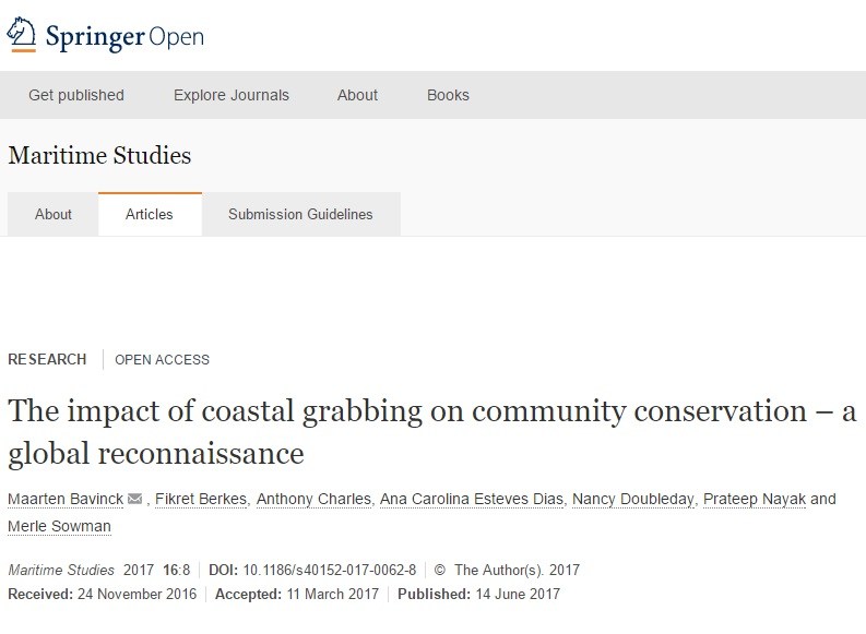
The impact of coastal grabbing on community conservation – a global reconnaissance

Reports & Research
Juin, 2017
Afrique du Sud

Coastal grab refers to the contested appropriation of coastal (shore and inshore) space and resources by outside interests. This paper explores the phenomenon of coastal grabbing and the effects of such appropriation on community-based conservation of local resources and environment. The approach combines social-ecological systems analysis with socio-legal property rights studies.