Resources
Displaying 1456 - 1460 of 2258Quantification of Soil Losses along the Coastal Protected Areas in Kenya
Monitoring of improper soil erosion empowered by water is constantly adding more risk to the natural resource mitigation scenarios, especially in developing countries. The demographical pattern and the rate of growth, in addition to the impairments of the rainfall pattern, are consequently disposed to adverse environmental disturbances. The current research goal is to evaluate soil erosion triggered by water in the coastal area of Kenya on the district level, and also in protected areas.
Land Cover and Land Use Change in the US Prairie Pothole Region Using the USDA Cropland Data Layer
The Prairie Pothole Region (PPR) is a biotically important region of grassland, wetland, and cropland that traverses the Canada-US border. Significant amounts of grasslands and wetlands within the PPR have been converted to croplands in recent years due to increasing demand for biofuels. We characterized land dynamics across the US portion of the PPR (US–PPR) using the USDA Crop Data Layer (CDL) for 2006–2018. We also conducted a comparative analysis between two epochs (1998–2007 & 2008–2017) of the CDL data time series in the North Dakotan portion of the US–PPR.
Delivering Climate-Development Co-Benefits through Multi-Stakeholder Forestry Projects in Madagascar: Opportunities and Challenges
This paper explores multi-stakeholder perspectives on the extent to which forestry projects that pursue ecological restoration and rehabilitation in Madagascar engage with local communities and can co-deliver climate-development benefits. Drawing on mixed methods (policy analysis, semi-structured interviews, participatory site visits and focus groups) in two different forestry contexts, we show that by strengthening access to capital availability, projects can enhance local adaptive capacity and mitigation and deliver local development.
Spatial Orientation Skill for Landscape Architecture Education and Professional Practice
Professional landscape architecture organizations have requested training from educational institutions based on new skills and methodologies in the curriculum development of students. Landscape architects need to visualize and evaluate the spatial relationships between the different components of the landscape using two-dimensional (2D) or three-dimensional (3D) maps and geospatial information, for which spatial orientation skills are necessary.
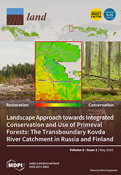
Landscape Approach towards Integrated Conservation and Use of Primeval Forests: The Transboundary Kovda River Catchment in Russia and Finland
Regional clear-felling of naturally dynamic boreal forests has left remote forest landscapes in northern Europe with challenges regarding rural development based on wood mining. However, biodiversity conservation with higher levels of ambition than what is possible in regions with a long forest history, and cultural heritage, offer opportunities for developing new value chains that support rural development.