Resource information
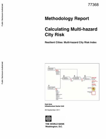
Nearly half of East Asia population lives in cities and the region is urbanizing so rapidly that built up areas are projected to increase faster here than in any other region in the next twenty years. Still, more than half of slum dwellers around the world live in East Asia. These are the people most vulnerable to disaster impacts. Given that Asia accounted for more than a third of the number of all reported disasters in 2010, and that natural disasters have quadrupled in the region during the past twenty years the fastest rate of increase of any region in the world managing urban growth for resilience is increasingly important. And yet, many cities do not have master plans to guide their projected growth, let alone tools for risk sensitive land use planning. The impetus for action will come from accessible tools that allow local policymakers to first minimize risk today and then think about addressing future risk. This methodology report describes the underlying risk components, including a description of the models required inputs related to metropolitan elements at risk, hazard sub-indices for thirteen hazard types and thirty parameters of physical, socioeconomic, and institutional vulnerability. In addition to this report, three city reports present results that can be used by a variety of users from those interested in the overall city wide risk from all natural hazards to those interested in more disaggregated information.