Kruimelpad
- LandVoc - the Linked Land Governance Thesaurus
- land management
Blogs
Beyond Ownership: Measuring Land Rights
Advancing women’s land rights is a priority for the international development agenda. Yet, there is no consensus on which rights should be monitored and reported. Three indicators of women’s property rights are widely used in the literature. Each captures a different aspect of women’s land rights, but a recent paper explores the extent to which these different rights are held by the same person, using data from six African countries.
Events
Large Scale Applications of Machine Learning using Remote Sensing for Building Agriculture Solutions
NASA’s Applied Remote Sensing Training Program (ARSET) has opened a new open, online webinar series: Large Scale Applications of Machine Learning using Remote Sensing for Building Agriculture Solutions. Remote sensing data is becoming crucial to solve some of the most important environmental problems, especially pertaining to agricultural applications and food security. Participants will become familiar with data format and quality considerations, tools, and techniques to process remote sensing imagery at large scale from publicly available satellite sources, using cloud tools such as AWS S3, Databricks, and Parquet. Additionally, participants will learn how to analyze and train machine learning models for classification using this large source of data to solve environmental problems with a focus on agriculture.
Fundamentals of Machine Learning for Earth Science
NASA’s Applied Remote Sensing Training Program (ARSET) has opened a new online introductory webinar series: Fundamentals of Machine Learning for Earth Science. This three-part training, presented in English and Spanish, is open to the public and will provide attendees an overview of machine learning in regards to Earth Science, and how to apply these algorithms and techniques to remote sensing data in a meaningful way. Attendees will also be provided with end-to-end case study examples for generating a simple random forest model for land cover classification from optical remote sensing. We will also present additional case studies to apply the presented workflows using additional NASA data.
Library
Logging, Mining, And Agricultural Concessions Data Transparency: A Survey Of 14 Forested Countries
Global demand for timber, agricultural commodities, and extractives is a significant driver of deforestation worldwide. Transparent land-concessions data for these large-scale commercial activities are essential to understand drivers of forest loss, monitor environmental impacts of ongoing activities, and ensure efficient and sustainable allocation of land.
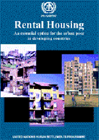
Rental Housing: An essential option for the urban poor in developing countries
Demonstrates that most arguments leading to the current bias against rental housing are highly flawed. Argues for more tenure-neutral housing policies, and urges governments to modify regulatory frameworks, develop credit programmes and other forms of assistance to support housing production, with a view to creating more rental housing and to improve the existing stock.
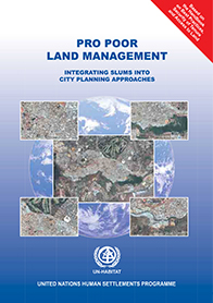
Pro Poor Land Management: Integrating Slums into City Planning Approaches
This publication on Pro Poor Land Management is based on the Handbook on Best Practices, Security of Tenure and Access to Land. It briefly describes recent innovations at the global level in the field of pro poor land management. It shows how governments, including local government and other stakeholders, are coming to grips with implementing the land related principles enshrined in the Habitat Agenda at a practical level in the cities and towns.