Resources
Displaying 1811 - 1815 of 2258Expropriation of Real Property in Kigali City: Scoping the Patterns of Spatial Justice
The key question in this article is the extent to which current real property expropriation practices in Kigali city promote spatial justice. Current studies focus on the ambiguous manner in which real property valuation had been regulated by the expropriation law of 2007, leading to unfair compensation and various conflicts between expropriating agencies and expropriated people. Following its amendment in 2015, the law currently provides clearer procedures for valuation and fair compensation, based on the market prices.
Understanding Land in the Context of Large-Scale Land Acquisitions: A Brief History of Land in Economics
In economics, land has been traditionally assumed to be a fixed production factor, both in terms of quantity supplied and mobility, as opposed to capital and labor, which are usually considered to be mobile factors, at least to some extent. Yet, in the last decade, international investors have expressed an unexpected interest in farmland and in land-related investments, with the demand for land brusquely rising at an unprecedented pace.
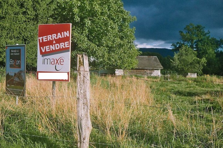
Artificialisés, accaparés, appauvris les sols sont assaillis de tous côtés
Date: 3 janvier 2019
Source: Reporterre.net
Par: Marie Astier
Les sols sont vivants, indispensables à la vie, et presque non renouvelables. Ils sont pourtant assaillis par l’étalement urbain et des pratiques agricoles désastreuses. Sans oublier l’intrusion croissante de sociétés foncières spéculatives. Un rapport parlementaire alerte sur cette situation et appelle à une grande loi foncière.
Use of Sentinel-2 and LUCAS Database for the Inventory of Land Use, Land Use Change, and Forestry in Wallonia, Belgium

Due to its cost-effectiveness and repeatability of observations, high resolution optical satellite remote sensing has become a major technology for land use and land cover mapping. However, inventory compilers for the Land Use, Land Use Change, and Forestry (LULUCF) sector are still mostly relying on annual census and periodic surveys for such inventories. This study proposes a new approach based on per-pixel supervised classification using Sentinel-2 imagery from 2016 for mapping greenhouse gas emissions and removals associated with the LULUCF sector in Wallonia, Belgium.
People and Post-Mining Environments: PPGIS Mapping of Landscape Values, Knowledge Needs, and Future Perspectives in Northern Finland
Mining can have a notable environmental and social footprint both during the production phase and after the mine closure. We examined local stakeholders’ viewpoints on two post-mining areas in northern Finland, Hannukainen and Rautuvaara, using a public participation geographic information system (PPGIS) approach. Spatially explicit data on local residents’ and visitors’ values, knowledge needs, and future perspectives on mining landscapes were collected with an online map-based survey tool (Harava). The results show that post-mining sites were generally considered unpleasant places.